Castles and Lake St-Félix
Add to my favorites

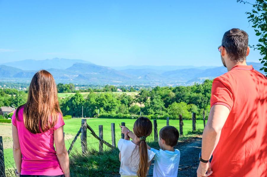
An open hike with two castles to contemplate, then a second more wooded section near the lake of Saint-Félix.
The characteristics of the route.

Saint-André-le-Gaz (38)
- Distance 11.89 km
- Elevation gain 250 m
- Elevation lost 250 m
- Min. elevation 366 m
- Max. elevation. 515 m
- Duration (depending on pace) 3h30
- Marking Yes
ROUTE
From the car park, cross the D1006 and take rue Ampère. As you climb up, look out on your right for the Haut-Verel stone castle with its round towers and Dauphin roof. From above, you can see the Bugey, Mont du Chat and Chartreuse mountains.
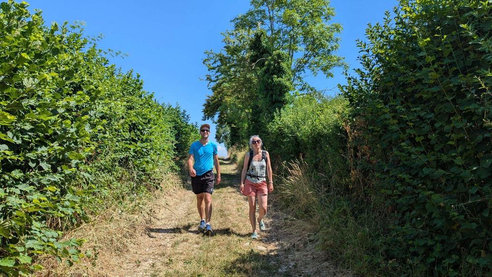
Then head back down towards the square-roofed castle of La Mûre and then St-Didier de la Tour. Cross again the D1006 and take the road then the path to the south of Lac St-Felix, classified as a Sensitive Natural Area. This natural glacial lake is a great place to spot the agile frog, as well as numerous birds and butterflies. The path is located in the forest and offers a beautiful view of the lake at its end. Follow the partly shaded path to Bois Chaboud and then the road back to the start.
WAYMARKING AND SIGNPOSTING
From the train station, head to the starting sign of the hike along the D1006 (300m).
From the car park along the D1006, follow the yellow signs and the following signposts:
Chemin Pascal > Les Croisettes > Le Corza > Château de la Mure > St-Didier-de-la-Tour > Le Bout du Lac > Bois Chaboud > back to ST-ANDRE-LE-GAZMarking : From the car park along the D1006, follow the yellow signs and the following signposts: Chemin Pascal > Les Croisettes > Le Corza > Château de la Mure > St-Didier-de-la-Tour > Le Bout de la Lac > Bois Chaboud > back to ST-ANDRE-LE-GAZ From the train station, head to the starting sign of the hike along the D1006 (300m).Equipments : Car park, Delicate passages : Be careful crossing the D1006Admission fee : Free access.Opening : All year round daily.
From the car park, cross the D1006 and take rue Ampère. As you climb up, look out on your right for the Haut-Verel stone castle with its round towers and Dauphin roof. From above, you can see the Bugey, Mont du Chat and Chartreuse mountains.
Then head back down towards the square-roofed castle of La Mûre and then St-Didier de la Tour. Cross again the D1006 and take the road then the path to the south of Lac St-Felix, classified as a Sensitive Natural Area. This natural glacial lake is a great place to spot the agile frog, as well as numerous birds and butterflies. The path is located in the forest and offers a beautiful view of the lake at its end. Follow the partly shaded path to Bois Chaboud and then the road back to the start.
WAYMARKING AND SIGNPOSTING
From the train station, head to the starting sign of the hike along the D1006 (300m).
From the car park along the D1006, follow the yellow signs and the following signposts:
Chemin Pascal > Les Croisettes > Le Corza > Château de la Mure > St-Didier-de-la-Tour > Le Bout du Lac > Bois Chaboud > back to ST-ANDRE-LE-GAZMarking : From the car park along the D1006, follow the yellow signs and the following signposts: Chemin Pascal > Les Croisettes > Le Corza > Château de la Mure > St-Didier-de-la-Tour > Le Bout de la Lac > Bois Chaboud > back to ST-ANDRE-LE-GAZ From the train station, head to the starting sign of the hike along the D1006 (300m).Equipments : Car park, Delicate passages : Be careful crossing the D1006Admission fee : Free access.Opening : All year round daily.
Area : Vals du Dauphiné
Report a problem
Website Châteaux et lac St-Félix Features of the application :
- Location and orientation on detailed maps thanks to the GPS of your smartphone
- Description of routes and points of interest on the route
- Photo gallery by route
- Detailed elevation profile
- Route tracking alert to warn you if you stray from the route
- Send predefined messages by SMS to your contacts
- Emergency module: trigger a call or send an emergency SMS in case of problem
- Agenda: access to events organized in the department
- News: find in the application the latest news on the web portal
- Adding achievements
- Add reports in case of problems encountered on the routes
- Share on social networks
Add your time and share your feelings
Services nearby

Malseroud's pond: Sensitive Natural Area
Les Abrets en Dauphiné

Dauphinois Weaving Museum
La Bâtie-Montgascon

Relais Cyné de Faverges de la Tour
Faverges-de-la-Tour

Tourist information office of La Tour du Pin - Office de Tourisme des Vals du Dauphiné
La Tour-du-Pin
Clog museum
Val-de-Virieu


Information updated on 2026-04-15 by Office de Tourisme des Vals du Dauphiné


Follow us on
the digital trails
the digital trails


![]()
The Isère Outdoor application was created
by the Département de l'Isère
Infos & contact
Conseil départemental de l'Isère
7 rue Fantin Latour
CS 41096
38 022 Grenoble cedex 1
Tel. 04 76 00 38 38
 Isère Outdoor - Parcours - Castles and Lake St-Félix
Hello, world! This is a toast message.
Isère Outdoor - Parcours - Castles and Lake St-Félix
Hello, world! This is a toast message.
Isère Outdoor - Parcours - Castles and Lake St-Félix
Hello, world! This is a toast message.


OK
Annuler