
Live the Isère Outdoor experience thanks to the mobile application that offers you a selection of remarkable sites and itineraries of about fifteen nature activities, everywhere in the department.
Whether during your walk, when you arrive at the site or at home, you can access all the information you need: follow your progress on the route and the profile in real time thanks to geolocation, consult the roadbooks and maps of the sites and routes, download the data and maps for offline use, download the GPX and much more...
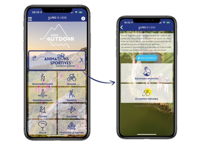
Walk, run, ride, climb, fly, sail, swim, slide, gallop ... to each his own way to ride Isère !
Features of the application :
- Location and orientation on detailed maps thanks to the GPS of your smartphone
- Description of routes and points of interest on the route
- Photo gallery by route
- Detailed elevation profile
- Route tracking alert to warn you if you stray from the route
- Send predefined messages by SMS to your contacts
- Emergency module: trigger a call or send an emergency SMS in case of problem
- Agenda: access to events organized in the department
- News: find in the application the latest news on the web portal
- Adding achievements
- Add reports in case of problems encountered on the routes
- Share on social networks

the digital trails


![]()
The Isère Outdoor application was created
by the Département de l'Isère
Infos & contact
Conseil départemental de l'Isère
7 rue Fantin Latour
CS 41096
38 022 Grenoble cedex 1
Tel. 04 76 00 38 38
 Isère Outdoor - The mobile app

