Echappée Iséroise du Col de l'Arzelier
Add to my favorites

Route opened
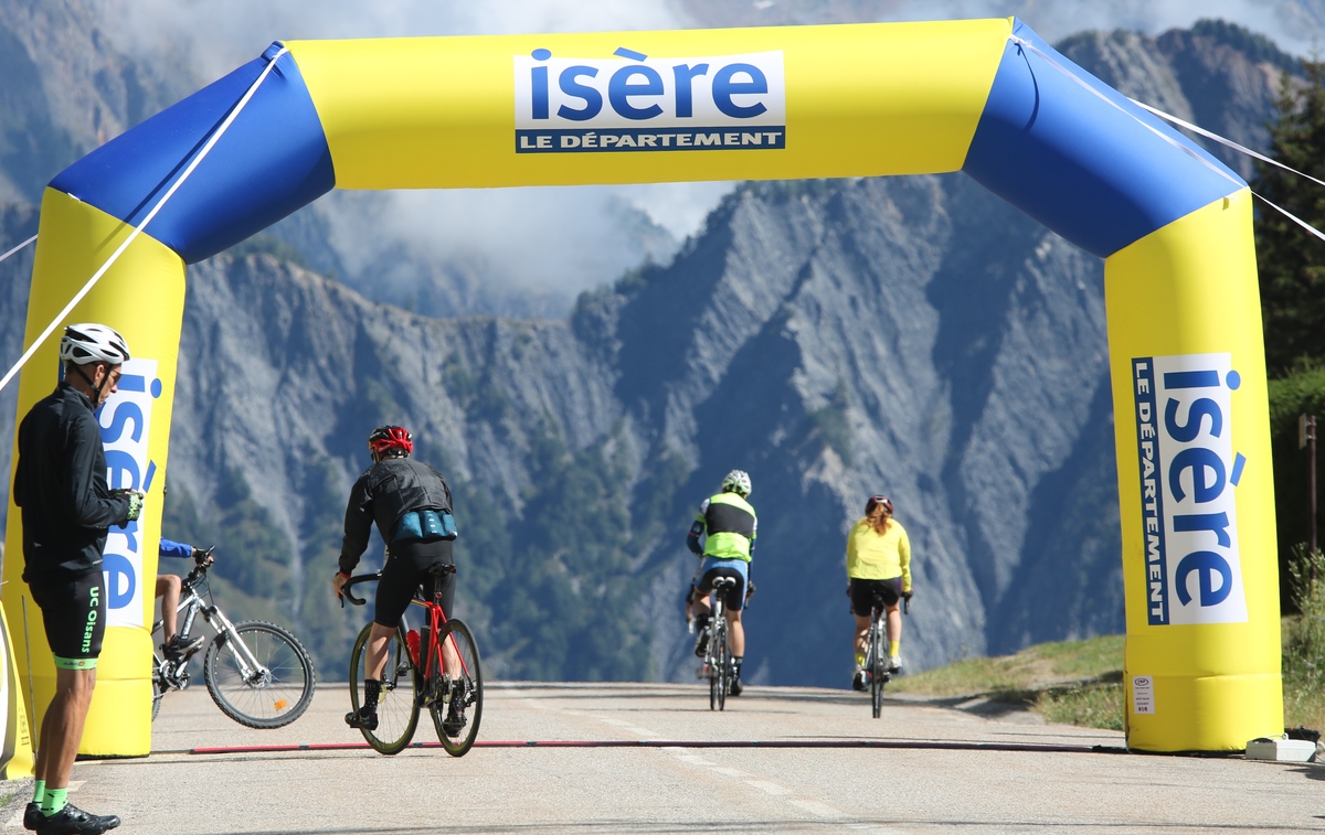
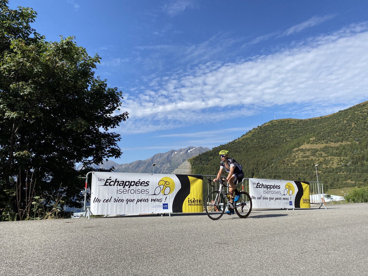
A la bascule entre le Trièves et l’agglomération grenobloise, au pied des Deux Sœurs… Le col de l’Arzelier offre des panoramas exceptionnels et une montée variée. Le samedi 20 juin, au départ du Gua, traversez les hameaux le long des 11,5 kilomètres d’ascension pour 800 mètres de D+. Et une fois au sommet, le ravitaillement avalé, deux options s’offrent à vous : un retour vers la plaine grenobloise ou une escapade sur les routes sinueuses du Trièves.
The characteristics of the route.

Le Gua (38)
- Distance 11.57 km
- Elevation gain 810 m
- Elevation lost 30 m
- Min. elevation 373 m
- Max. elevation. 1153 m
Area : Massif du Vercors
Report a problem
Features of the application :
- Location and orientation on detailed maps thanks to the GPS of your smartphone
- Description of routes and points of interest on the route
- Photo gallery by route
- Detailed elevation profile
- Route tracking alert to warn you if you stray from the route
- Send predefined messages by SMS to your contacts
- Emergency module: trigger a call or send an emergency SMS in case of problem
- Agenda: access to events organized in the department
- News: find in the application the latest news on the web portal
- Adding achievements
- Add reports in case of problems encountered on the routes
- Share on social networks
Add your time and share your feelings
Services nearby

Musée Champollion
Vif
Atelier Gilioli
Saint-Martin-de-la-Cluze

Refuge La Soldanelle
Château-Bernard
Auberge des Allières
Lans-en-Vercors

Office Municipal de Tourisme de Villard de Lans
Villard-de-Lans



Follow us on
the digital trails
the digital trails





The Isère Outdoor application was created
by the Département de l'Isère
Infos & contact
Conseil départemental de l'Isère
7 rue Fantin Latour
CS 41096
38 022 Grenoble cedex 1
Tel. 04 76 00 38 38
 Isère Outdoor - Parcours - Echappée Iséroise du Col de l'Arzelier
Hello, world! This is a toast message.
Isère Outdoor - Parcours - Echappée Iséroise du Col de l'Arzelier
Hello, world! This is a toast message.
Isère Outdoor - Parcours - Echappée Iséroise du Col de l'Arzelier
Hello, world! This is a toast message.


OK
Annuler