La boucle de Parménie
Add to my favorites

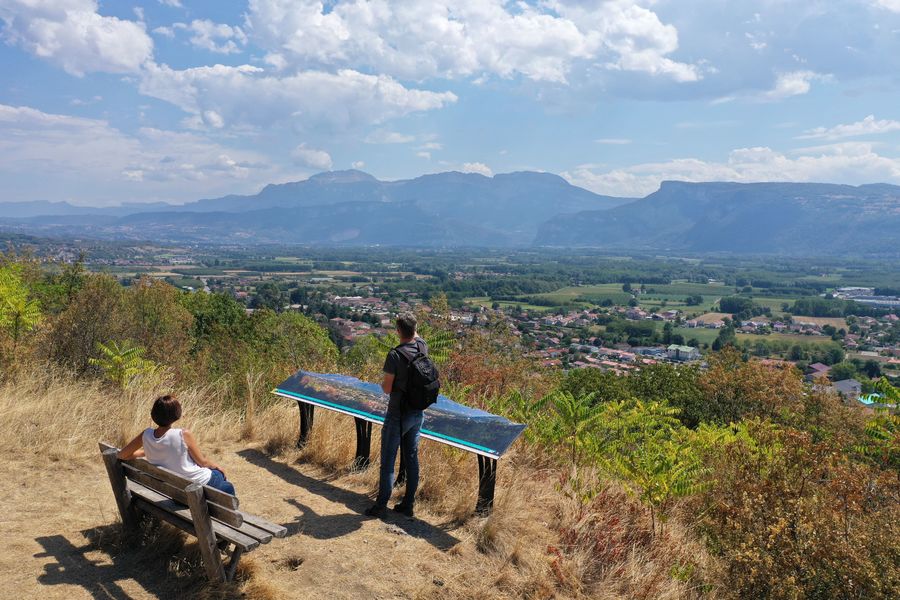
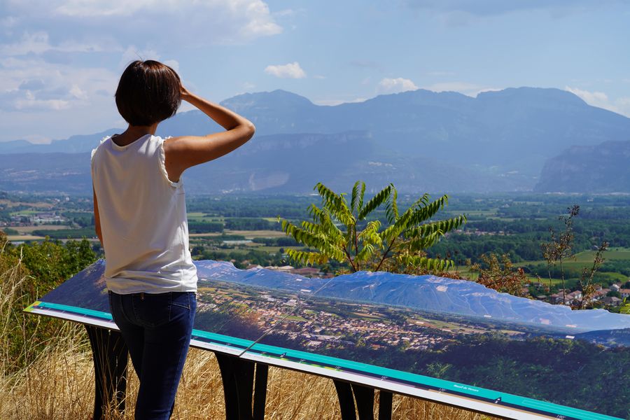
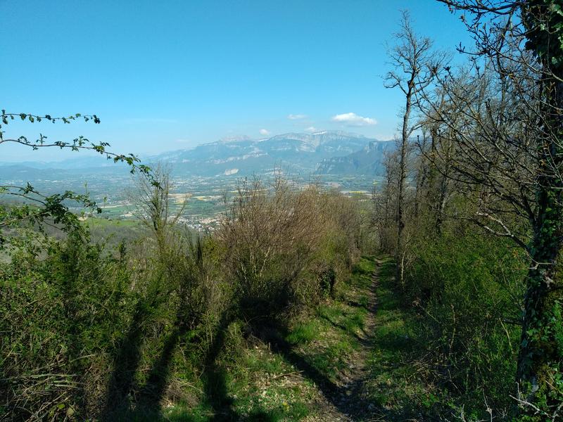
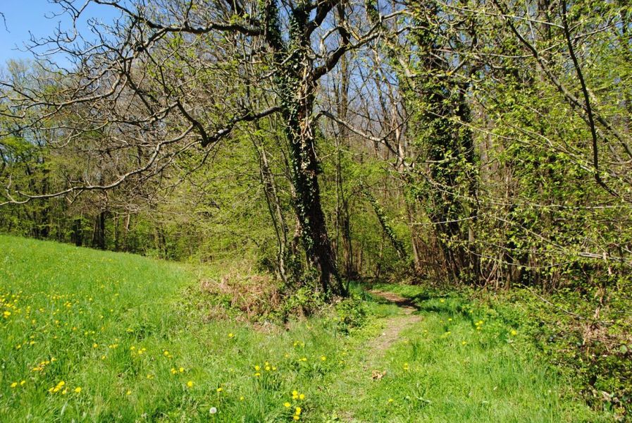
Prenez de la hauteur et surplombez la vallée de l'Isère avec des vues sur le Vercors et la Chartreuse, en passant des belvédères aux sous-bois, et jusqu'à l'optionnel aller-retour à l'ancienne chartreuse de moniales de Parménie.
The characteristics of the route.

Tullins (38)
- Distance 14.66 km
- Elevation gain 740 m
- Elevation lost 740 m
- Min. elevation 239 m
- Max. elevation. 762 m
- Duration (depending on pace) 4h45
- Marking Yes
Equipments : Parking nearby, Public WC, Picnic area, Orientation board, Admission fee : Free access.Opening : All year round daily.
Area : Pays Voironnais
Report a problem
Website Features of the application :
- Location and orientation on detailed maps thanks to the GPS of your smartphone
- Description of routes and points of interest on the route
- Photo gallery by route
- Detailed elevation profile
- Route tracking alert to warn you if you stray from the route
- Send predefined messages by SMS to your contacts
- Emergency module: trigger a call or send an emergency SMS in case of problem
- Agenda: access to events organized in the department
- News: find in the application the latest news on the web portal
- Adding achievements
- Add reports in case of problems encountered on the routes
- Share on social networks
Add your time and share your feelings
Services nearby

Espace Naturel Sensible de l'Etang de Côte-Manin
Saint-Blaise-du-Buis

Tourisme en Bièvre Est
Colombe
Pays Voironnais Tourist Office, Voiron information office
Voiron

Mainssieux Museum
Voiron

Refuge de Gève
Autrans-Méaudre en Vercors


Information updated on 2026-03-03 by Office de Tourisme du Pays Voironnais


Follow us on
the digital trails
the digital trails


![]()
The Isère Outdoor application was created
by the Département de l'Isère
Infos & contact
Conseil départemental de l'Isère
7 rue Fantin Latour
CS 41096
38 022 Grenoble cedex 1
Tel. 04 76 00 38 38
 Isère Outdoor - Parcours - La boucle de Parménie
Hello, world! This is a toast message.
Isère Outdoor - Parcours - La boucle de Parménie
Hello, world! This is a toast message.
Isère Outdoor - Parcours - La boucle de Parménie
Hello, world! This is a toast message.


OK
Annuler