Circuit 1 : De Tullins aux rives de l'Isère
Add to my favorites

Caution! Zone of vigilance near the route
Faucon pèlerin - du 01/02/2026 au 30/06/2026 In progress
Aigle royal - du 01/01/2026 au 31/08/2026 In progress
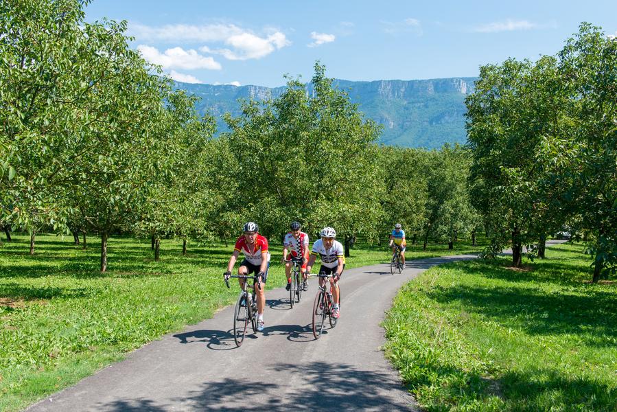
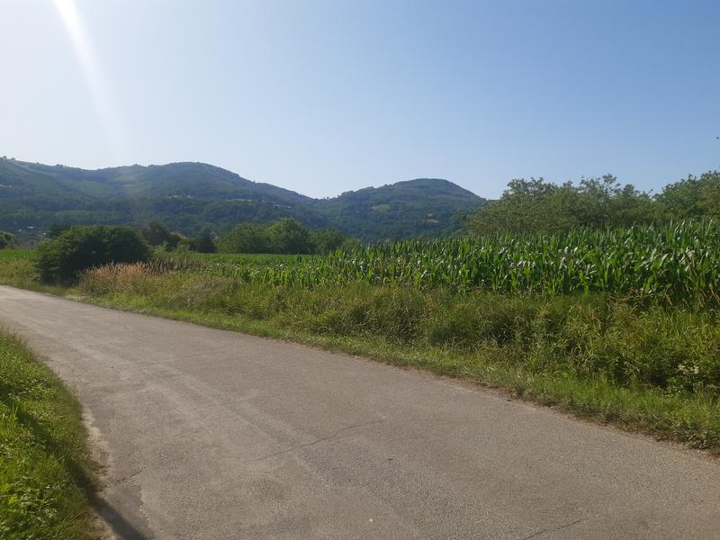
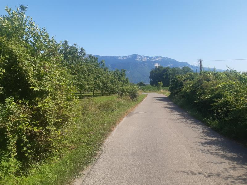
Cet itinéraire tout plat, accessible à tous, vous invite à une promenade bucolique à travers la plaine de Tullins, entre les collines boisées des Chambaran et les falaises majestueuses du Vercors.
The characteristics of the route.

Tullins (38)
- Distance 27.43 km
- Elevation gain 400 m
- Elevation lost 400 m
- Min. elevation 175 m
- Max. elevation. 214 m
- Marking Yes
Admission fee : Free access.Opening : All year round daily.
Area : Pays Voironnais
Report a problem
Website Pdf file Features of the application :
- Location and orientation on detailed maps thanks to the GPS of your smartphone
- Description of routes and points of interest on the route
- Photo gallery by route
- Detailed elevation profile
- Route tracking alert to warn you if you stray from the route
- Send predefined messages by SMS to your contacts
- Emergency module: trigger a call or send an emergency SMS in case of problem
- Agenda: access to events organized in the department
- News: find in the application the latest news on the web portal
- Adding achievements
- Add reports in case of problems encountered on the routes
- Share on social networks
Add your time and share your feelings
Services nearby

Espace Naturel Sensible de l'Etang de Côte-Manin
Saint-Blaise-du-Buis

Tourisme en Bièvre Est
Colombe
Pays Voironnais Tourist Office, Voiron information office
Voiron

Refuge de Gève
Autrans-Méaudre en Vercors

Mainssieux Museum
Voiron


Information updated on 2026-03-11 by Office de Tourisme de Saint-Marcellin Vercors Isère


Follow us on
the digital trails
the digital trails


![]()
The Isère Outdoor application was created
by the Département de l'Isère
Infos & contact
Conseil départemental de l'Isère
7 rue Fantin Latour
CS 41096
38 022 Grenoble cedex 1
Tel. 04 76 00 38 38
 Isère Outdoor - Parcours - Circuit 1 : De Tullins aux rives de l'Isère
Hello, world! This is a toast message.
Isère Outdoor - Parcours - Circuit 1 : De Tullins aux rives de l'Isère
Hello, world! This is a toast message.
Isère Outdoor - Parcours - Circuit 1 : De Tullins aux rives de l'Isère
Hello, world! This is a toast message.


OK
Annuler