The water paths
Add to my favorites

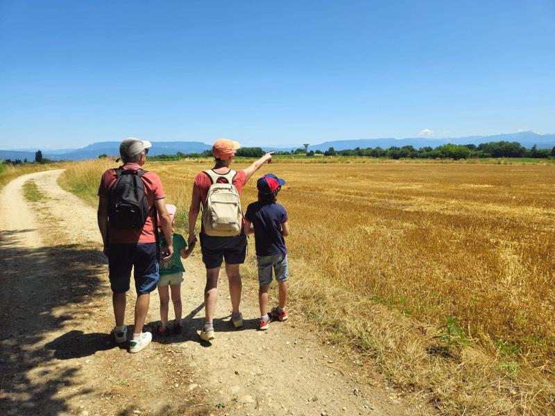
This easy walk to explore the ponds offers unobstructed views of the surrounding mountains. The circuit mainly follows paths alternating between small woods and farmland.
The characteristics of the route.

La Chapelle-de-la-Tour (38)
- Distance 11.07 km
- Elevation gain 140 m
- Elevation lost 140 m
- Min. elevation 380 m
- Max. elevation. 451 m
- Duration (depending on pace) 2h30
- Marking Yes
ROUTE
After passing through the village of La Chapelle de la Tour, you will reach the Petite Commune educational pond, an ideal place to take a break and have a picnic, with plenty of shade and two tables.
Then continue on to the Feuillée pond, classified as a Sensitive Natural Area. This site, consisting of wet meadows, ponds, reed beds, and wet woodlands, is home to the marsh copper butterfly, a protected species, as well as two protected plants, the marsh peucedan and the loose-flowered orchid.
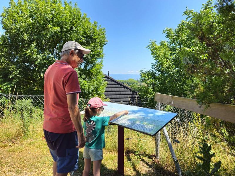
Take the path that leads to the Bois de Salérieu. Towards Le Rompay, you can enjoy a panoramic view (from left to right: the peaks of Bugey, Mont du Chat, Chartreuse).
The circuit then follows the dyke of the former large Dolomieu pond, which was drained during the Revolution. After passing the hamlet of Le Dran, you return to the village via a forest path (often wet from November to May) which provides a little coolness in summer. You then pass close to the former water catchments that supplied drinking water to La Tour-du-Pin.
Once you reach the bottom of the village, the hike ends with a 300m climb before returning to the car park.
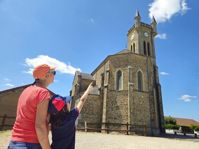
For the curious, it is possible to climb to the top of the church tower to admire the landscape (contact the town hall in advance).
WAYMARKING AND SIGNPOSTING
From the car park, follow yellow signs and the following signposts:
Petite Commune > Etang de la Feuillée > Bois de Salérieu > Croix Droguet > Le Rompay > Les Communes > retour LA CHAPELLE DE LA TOUR
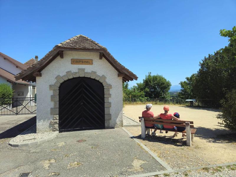
From the parking lot, take the time to admire the pretty communal oven before enjoying the panoramic view of the Vercors and Chartreuse mountains. Don't forget to take a look at the unique church with its square tower.Marking : From the car park, follow the yellow signs and the following signposts: Petite Commune > Etang de la Feuillée > Bois de Salérieu > Croix Droguet > Le Rompay > Les Communes > retour LA CHAPELLE DE LA TOUREquipments : Public WC, Car park, Admission fee : Free access.Opening : All year round daily.
After passing through the village of La Chapelle de la Tour, you will reach the Petite Commune educational pond, an ideal place to take a break and have a picnic, with plenty of shade and two tables.
Then continue on to the Feuillée pond, classified as a Sensitive Natural Area. This site, consisting of wet meadows, ponds, reed beds, and wet woodlands, is home to the marsh copper butterfly, a protected species, as well as two protected plants, the marsh peucedan and the loose-flowered orchid.
Take the path that leads to the Bois de Salérieu. Towards Le Rompay, you can enjoy a panoramic view (from left to right: the peaks of Bugey, Mont du Chat, Chartreuse).
The circuit then follows the dyke of the former large Dolomieu pond, which was drained during the Revolution. After passing the hamlet of Le Dran, you return to the village via a forest path (often wet from November to May) which provides a little coolness in summer. You then pass close to the former water catchments that supplied drinking water to La Tour-du-Pin.
Once you reach the bottom of the village, the hike ends with a 300m climb before returning to the car park.
For the curious, it is possible to climb to the top of the church tower to admire the landscape (contact the town hall in advance).
WAYMARKING AND SIGNPOSTING
From the car park, follow yellow signs and the following signposts:
Petite Commune > Etang de la Feuillée > Bois de Salérieu > Croix Droguet > Le Rompay > Les Communes > retour LA CHAPELLE DE LA TOUR
From the parking lot, take the time to admire the pretty communal oven before enjoying the panoramic view of the Vercors and Chartreuse mountains. Don't forget to take a look at the unique church with its square tower.Marking : From the car park, follow the yellow signs and the following signposts: Petite Commune > Etang de la Feuillée > Bois de Salérieu > Croix Droguet > Le Rompay > Les Communes > retour LA CHAPELLE DE LA TOUREquipments : Public WC, Car park, Admission fee : Free access.Opening : All year round daily.
Area : Vals du Dauphiné
Report a problem
Website Features of the application :
- Location and orientation on detailed maps thanks to the GPS of your smartphone
- Description of routes and points of interest on the route
- Photo gallery by route
- Detailed elevation profile
- Route tracking alert to warn you if you stray from the route
- Send predefined messages by SMS to your contacts
- Emergency module: trigger a call or send an emergency SMS in case of problem
- Agenda: access to events organized in the department
- News: find in the application the latest news on the web portal
- Adding achievements
- Add reports in case of problems encountered on the routes
- Share on social networks
Add your time and share your feelings
Services nearby

Vals du Dauphiné tourist information center in La Tour-du-Pin
La Tour-du-Pin

Relais Cyné de Faverges de la Tour
Faverges-de-la-Tour

Dauphinois Weaving's Museum
La Bâtie-Montgascon

Etang de Gôle Sensitive Natural Area
Montcarra
Malseroud's pond: Sensitive Natural Area
Les Abrets en Dauphiné


Information updated on 2026-07-21 by Office de Tourisme des Vals du Dauphiné


Follow us on
the digital trails
the digital trails





The Isère Outdoor application was created
by the Département de l'Isère
Infos & contact
Conseil départemental de l'Isère
7 rue Fantin Latour
CS 41096
38 022 Grenoble cedex 1
Tel. 04 76 00 38 38
 Isère Outdoor - Parcours - The water paths
Hello, world! This is a toast message.
Isère Outdoor - Parcours - The water paths
Hello, world! This is a toast message.
Isère Outdoor - Parcours - The water paths
Hello, world! This is a toast message.


OK
Annuler