Sentier du Rocharay
Add to my favorites

This loop is in the forest and all along the path you will see some natural curiosities and historical sites.
The characteristics of the route.

Miribel-les-Échelles (38)
- Distance 9.1 km
- Elevation gain 390 m
- Elevation lost 390 m
- Min. elevation 588 m
- Max. elevation. 815 m
- Duration (depending on pace) 3h30
- Marking Yes
Marking : Departure Signs are in place in the villages near the car parks and the places open to the public. To follow your itinerary, poles are in place at the junctions and identifiable by a sign with the name of the walk and the altitude. Between two poles, you will find marked sign made with painting all along the way, it indicates if you must follow the path or not. Pay also attention to small signs to guide you.
We recommend to have the map Promenades et randonnées en Chartreuse" with you.Admission fee : Free of charge.Opening : From 01/05 to 30/11.
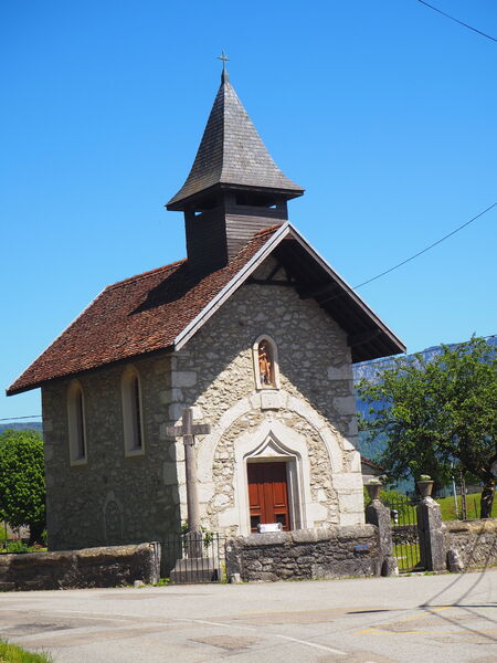
Subject to favorable weather.Step by step description : Start this hike is the car park near the campsite. Follow the purple signs. (1) Take the road towards «Forêt domaniale de Rocharay». The road turns into a track. (2) At the yellow sign «Source de l’écuelle alt 740», take the path on the left, still in the direction of the «Forêt domaniale de Rocharay». Do not hesitate to have a look at the stream of l’écuelle (10 minutes to go and come back on yourself). Keep following the way down in the forest, the path is narrower. (3) At the junction, take the path that goes on the right and then on the left. A nice way up leads you to a forest track known as the «Chemin de Pourcy». Once you get on a platform, the way is on your right. It crosses the woods and meets a wide track. Take left. (4) You reach a junction with a marker n°12. From here, you can go to a nice point of view at the «Brosses» (back and forth of 10 min), where you can admire the Grande Sure, and even have a glimpse of the Vercors. Back at the marker, take the path going down on the right. Enjoy a nice way down on a limestone track. (Be careful: when the ground is wet, it is very slippery). At the same time enjoy the fountain of Pourcy. (5) After this steep way down, let the main track to take a small path which goes up on your left. Enjoy this rocky atmosphere. Do not miss the Grotte des Réfractaires. Find a wide track bringing you to the Pont de Pierre Chave. If you want, you can admire the bridge (10 minutes to go and come back on yourself). Back at the sign, go straight ahead through the hamlet of St-Roch (be careful: itinerary on the road). (6) After the chapel of St-Roch, take the path on your left going in the forest. (Here you should follow the green signs). After a quick way up and down, at the junction, near the basin, take the path on the left. When you reach the road, take right to find the car park.
Area : Cœur de Chartreuse
Report a problem
Website Pdf file Features of the application :
- Location and orientation on detailed maps thanks to the GPS of your smartphone
- Description of routes and points of interest on the route
- Photo gallery by route
- Detailed elevation profile
- Route tracking alert to warn you if you stray from the route
- Send predefined messages by SMS to your contacts
- Emergency module: trigger a call or send an emergency SMS in case of problem
- Agenda: access to events organized in the department
- News: find in the application the latest news on the web portal
- Adding achievements
- Add reports in case of problems encountered on the routes
- Share on social networks
Add your time and share your feelings
Services nearby

Espace Naturel Sensible des Tourbières de l'Herretang
Saint-Laurent-du-Pont

Coeur de Chartreuse Tourist Information center at Saint Laurent du Pont
Saint-Laurent-du-Pont

Relais Cyné de Montferrat
Montferrat

Pégoud Museum
Montferrat
Mainssieux Museum
Voiron


Information updated on 2024-07-22 by Chartreuse Tourisme


Follow us on
the digital trails
the digital trails


![]()
The Isère Outdoor application was created
by the Département de l'Isère
Infos & contact
Conseil départemental de l'Isère
7 rue Fantin Latour
CS 41096
38 022 Grenoble cedex 1
Tel. 04 76 00 38 38
 Isère Outdoor - Parcours - Sentier du Rocharay
Hello, world! This is a toast message.
Isère Outdoor - Parcours - Sentier du Rocharay
Hello, world! This is a toast message.
Isère Outdoor - Parcours - Sentier du Rocharay
Hello, world! This is a toast message.


OK
Annuler