Belvédère du Clos des Chartreux
Add to my favorites

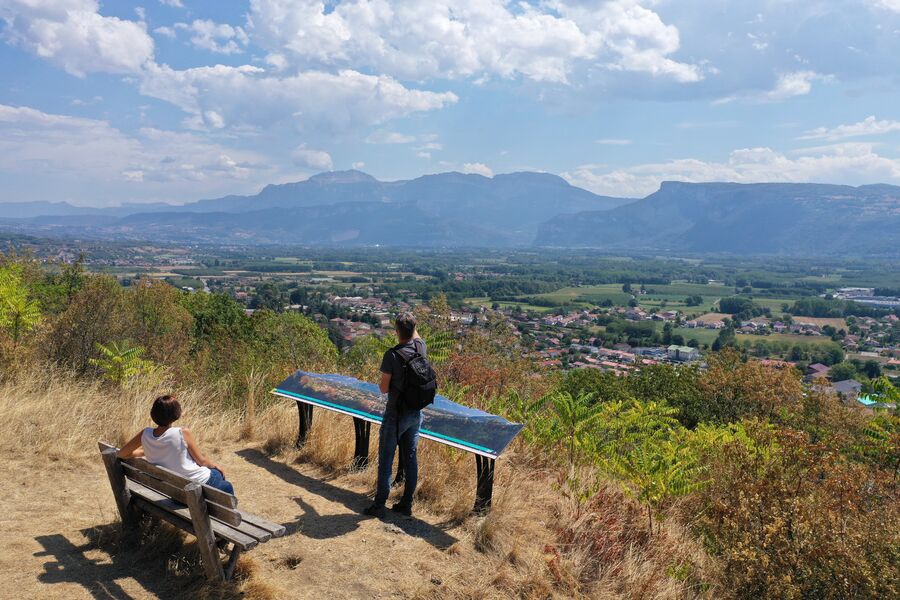
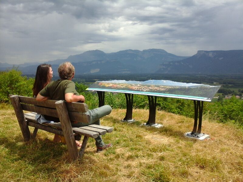
Le sentier vous mènera jusqu'au belvédère, où une table d'orientation, une table de pique-nique couverte et un banc faisant face à un superbe panorama sur le Vercors et la Chartreuse vous attendent.
The characteristics of the route.

Tullins (38)
- Distance 1.2 km
- Elevation gain 70 m
- Elevation lost 70 m
- Min. elevation 243 m
- Max. elevation. 316 m
- Duration (depending on pace) 0h30
- Marking Yes
Equipments : Picnic area, Orientation board, Parking nearby, Admission fee : Free access.Opening : All year round.
Area : Pays Voironnais
Report a problem
Website Features of the application :
- Location and orientation on detailed maps thanks to the GPS of your smartphone
- Description of routes and points of interest on the route
- Photo gallery by route
- Detailed elevation profile
- Route tracking alert to warn you if you stray from the route
- Send predefined messages by SMS to your contacts
- Emergency module: trigger a call or send an emergency SMS in case of problem
- Agenda: access to events organized in the department
- News: find in the application the latest news on the web portal
- Adding achievements
- Add reports in case of problems encountered on the routes
- Share on social networks
Add your time and share your feelings
Services nearby

Espace Naturel Sensible de l'Etang de Côte-Manin
Saint-Blaise-du-Buis

Tourisme en Bièvre Est
Colombe
Pays Voironnais Tourist Office, Voiron information office
Voiron

Mainssieux Museum
Voiron

Refuge de Gève
Autrans-Méaudre en Vercors


Information updated on 2024-10-02 by Office de Tourisme du Pays Voironnais


Follow us on
the digital trails
the digital trails


![]()
The Isère Outdoor application was created
by the Département de l'Isère
Infos & contact
Conseil départemental de l'Isère
7 rue Fantin Latour
CS 41096
38 022 Grenoble cedex 1
Tel. 04 76 00 38 38
 Isère Outdoor - Parcours - Belvédère du Clos des Chartreux
Hello, world! This is a toast message.
Isère Outdoor - Parcours - Belvédère du Clos des Chartreux
Hello, world! This is a toast message.
Isère Outdoor - Parcours - Belvédère du Clos des Chartreux
Hello, world! This is a toast message.


OK
Annuler