Crête de la Ferrière
Add to my favorites


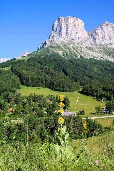
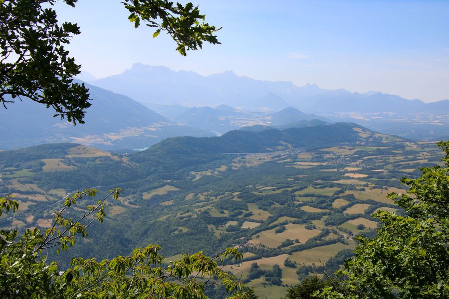
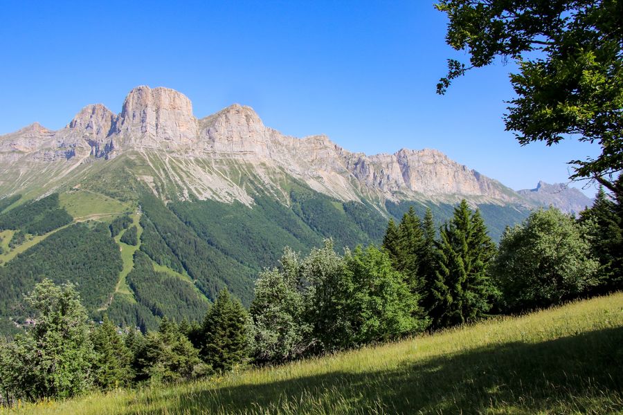
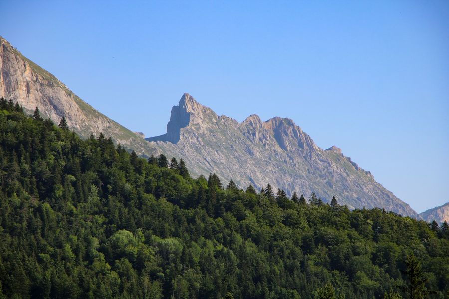
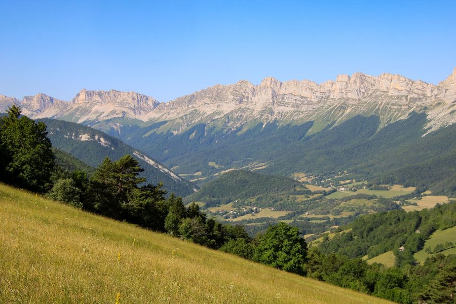
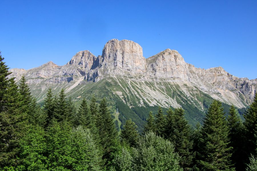
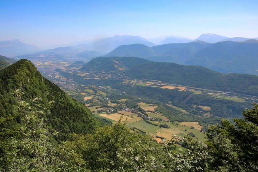
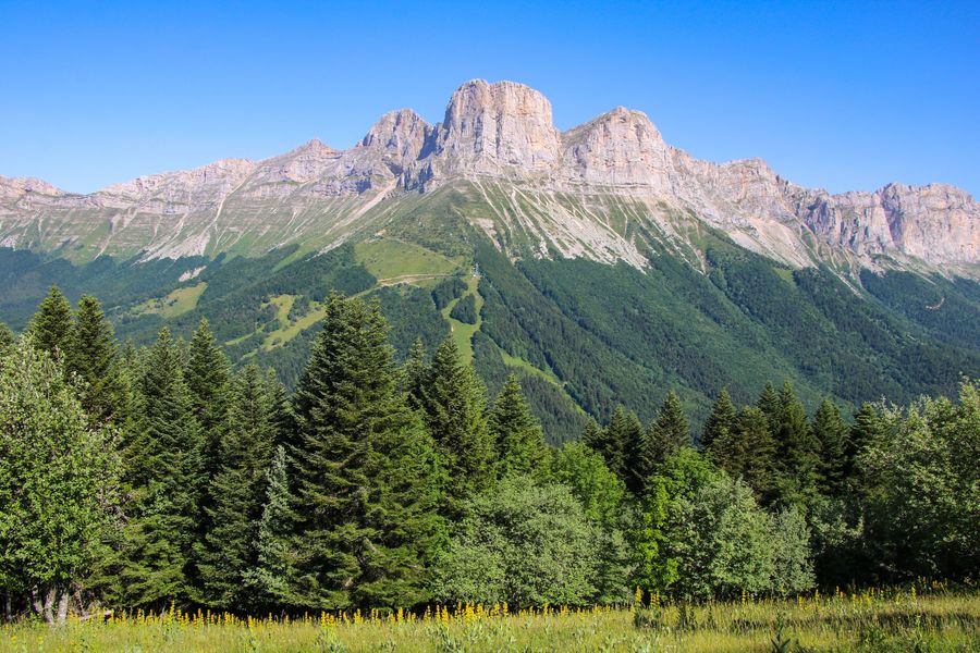
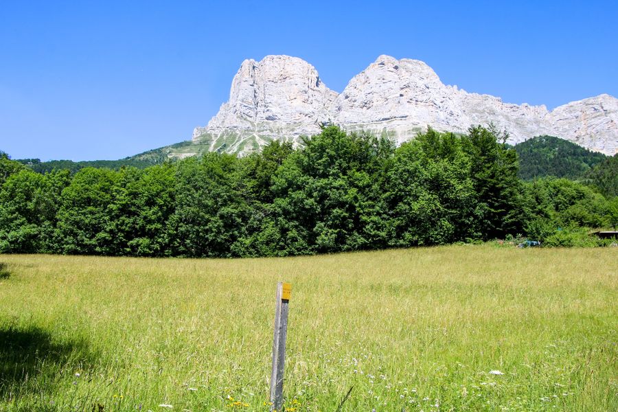
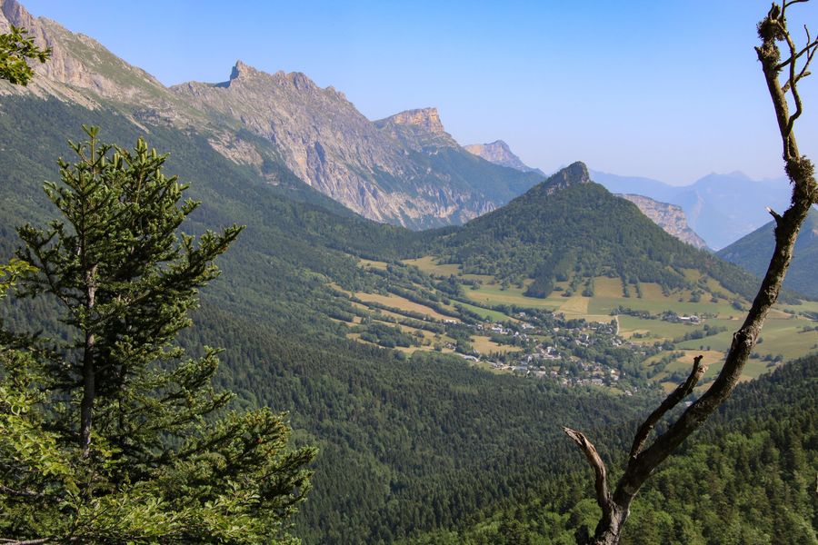
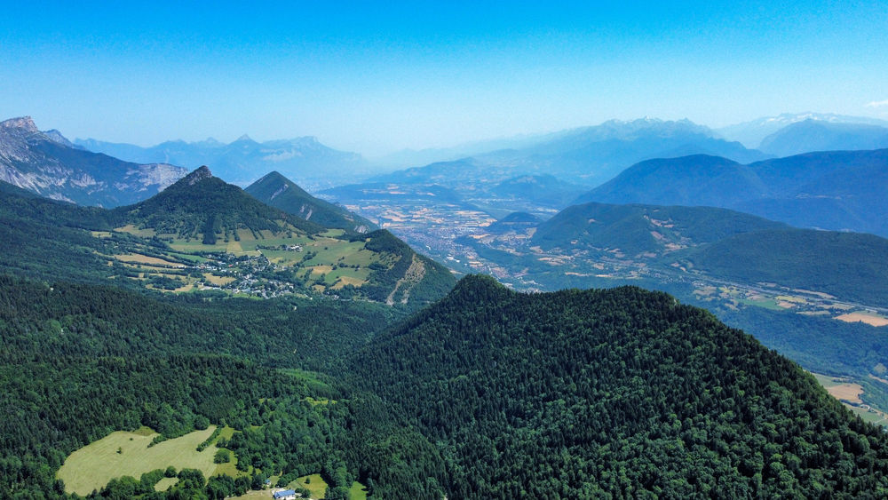
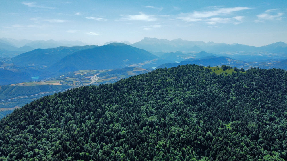
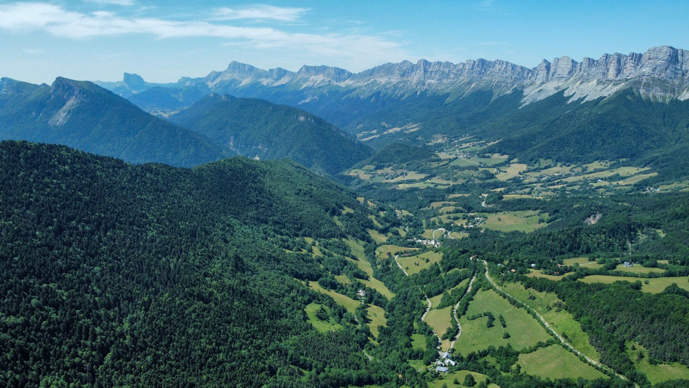
Une randonnée agréable au départ du Col de l'Arzelier qui vous permettra de prendre de la hauteur et d'avoir une vue plongeante sur la région du Trièves. Impossible durant cette balade de manquer les Deux Sœurs qui accompagnent votre sortie.
The characteristics of the route.

Château-Bernard (38)
- Distance 6.5 km
- Elevation gain 480 m
- Elevation lost 480 m
- Min. elevation 1014 m
- Max. elevation. 1490 m
- Duration (depending on pace) 3h
- Marking Yes
Equipments : Car park, Admission fee : Free access.Opening : All year round.
Area : Trièves
Report a problem
Website Pdf file Features of the application :
- Location and orientation on detailed maps thanks to the GPS of your smartphone
- Description of routes and points of interest on the route
- Photo gallery by route
- Detailed elevation profile
- Route tracking alert to warn you if you stray from the route
- Send predefined messages by SMS to your contacts
- Emergency module: trigger a call or send an emergency SMS in case of problem
- Agenda: access to events organized in the department
- News: find in the application the latest news on the web portal
- Adding achievements
- Add reports in case of problems encountered on the routes
- Share on social networks
Add your time and share your feelings
Services nearby

Refuge La Soldanelle
Château-Bernard

Atelier Gilioli
Saint-Martin-de-la-Cluze

Foyer de ski de fond des Hauts Plateaux
Corrençon-en-Vercors
Musée Champollion
Vif
Maison du Patrimoine
Villard-de-Lans


Information updated on 2022-10-14 by Office de Tourisme du Trièves


Follow us on
the digital trails
the digital trails


![]()
The Isère Outdoor application was created
by the Département de l'Isère
Infos & contact
Conseil départemental de l'Isère
7 rue Fantin Latour
CS 41096
38 022 Grenoble cedex 1
Tel. 04 76 00 38 38
 Isère Outdoor - Parcours - Crête de la Ferrière
Hello, world! This is a toast message.
Isère Outdoor - Parcours - Crête de la Ferrière
Hello, world! This is a toast message.
Isère Outdoor - Parcours - Crête de la Ferrière
Hello, world! This is a toast message.


OK
Annuler