Col vert par Prélenfrey
Add to my favorites

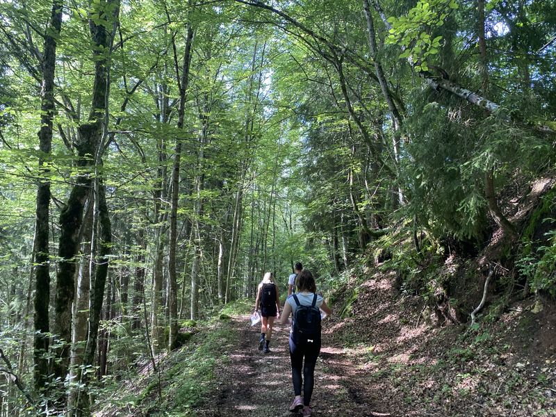
Cet itinéraire vous offre une vue magnifique sur le plateau du Vercors et le Trièves.
The characteristics of the route.

Le Gua (38)
- Distance 9.6 km
- Elevation gain 550 m
- Elevation lost 550 m
- Min. elevation 1276 m
- Max. elevation. 1757 m
- Duration (depending on pace) 4h
- Marking Yes
Equipments : Car park, Admission fee : Free access.Opening : All year round.
Area : Grenoble-Alpes Métropole
Report a problem
Website Pdf file Features of the application :
- Location and orientation on detailed maps thanks to the GPS of your smartphone
- Description of routes and points of interest on the route
- Photo gallery by route
- Detailed elevation profile
- Route tracking alert to warn you if you stray from the route
- Send predefined messages by SMS to your contacts
- Emergency module: trigger a call or send an emergency SMS in case of problem
- Agenda: access to events organized in the department
- News: find in the application the latest news on the web portal
- Adding achievements
- Add reports in case of problems encountered on the routes
- Share on social networks
MBabass
The 2022/10/21
En savoir plus
Ajouter votre chrono et partager vos sensations
2022/10/21 MBabass
Pour les Grenoblois, possibilité de faire une traversée en prenant le bus jusqu'à Prelenfrey, marcher jusqu'à Villard de Lans et revenir à Grenoble en bus.
2022/10/21 MBabass
Pour les Grenoblois, possibilité de faire une traversée en prenant le bus jusqu'à Prelenfrey, marcher jusqu'à Villard de Lans et revenir à Grenoble en bus.
Services nearby

Refuge La Soldanelle
Château-Bernard

Foyer de ski de fond des Hauts Plateaux
Corrençon-en-Vercors

Atelier Gilioli
Saint-Martin-de-la-Cluze
Maison du Patrimoine
Villard-de-Lans

Office Municipal de Tourisme de Villard de Lans
Villard-de-Lans


Information updated on 2022-05-04 by Département de l'Isère


Follow us on
the digital trails
the digital trails


![]()
The Isère Outdoor application was created
by the Département de l'Isère
Infos & contact
Conseil départemental de l'Isère
7 rue Fantin Latour
CS 41096
38 022 Grenoble cedex 1
Tel. 04 76 00 38 38
 Isère Outdoor - Parcours - Col vert par Prélenfrey
Hello, world! This is a toast message.
Isère Outdoor - Parcours - Col vert par Prélenfrey
Hello, world! This is a toast message.
Isère Outdoor - Parcours - Col vert par Prélenfrey
Hello, world! This is a toast message.


OK
Annuler