Rando de Villard-Reculas à l'Alpe d'Huez
Add to my favorites

Caution! Zone of vigilance near the route
Alpage de Villard Reculas - du 15/06/2026 au 15/10/2026 Upcoming
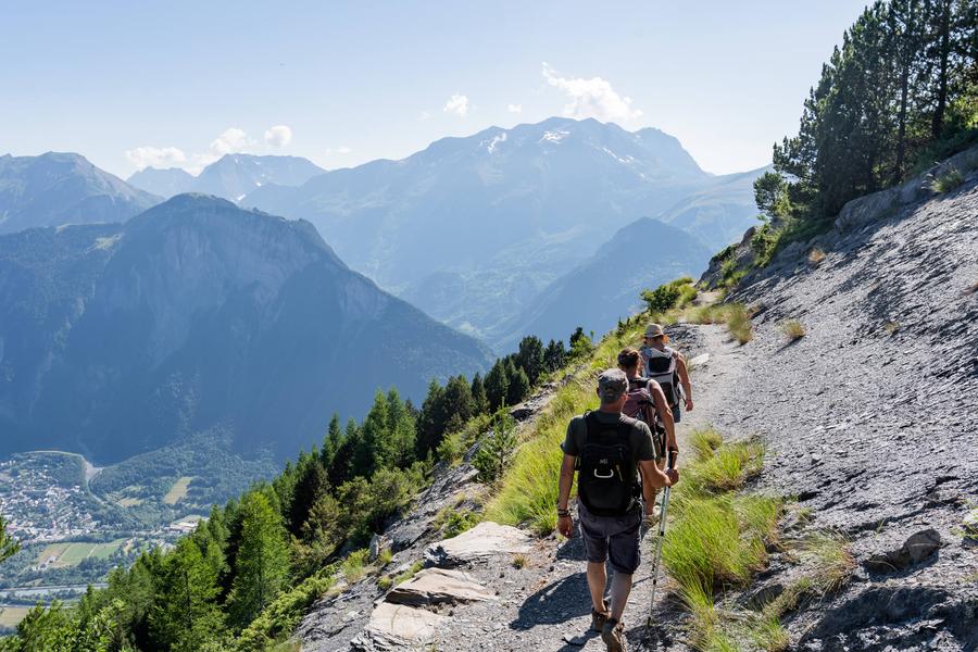
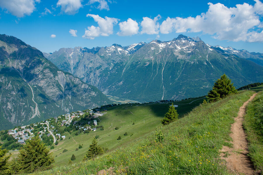
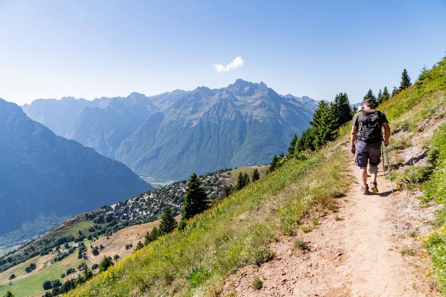
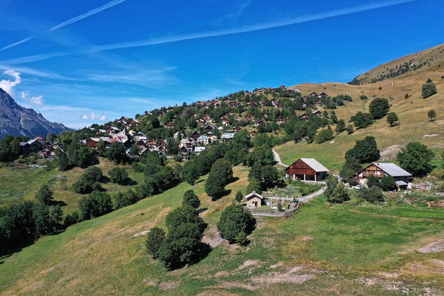
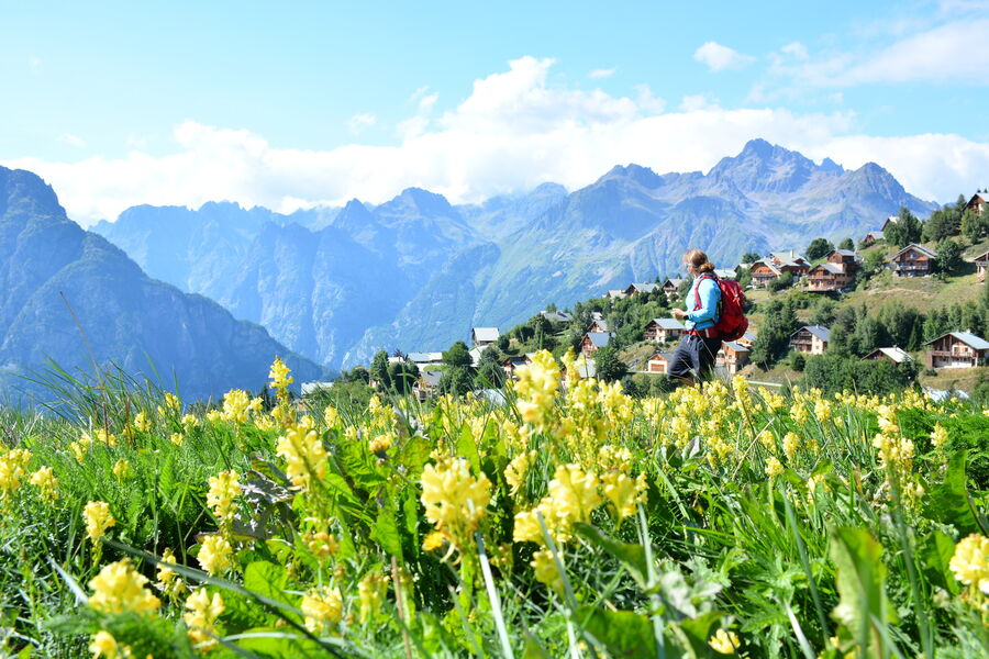
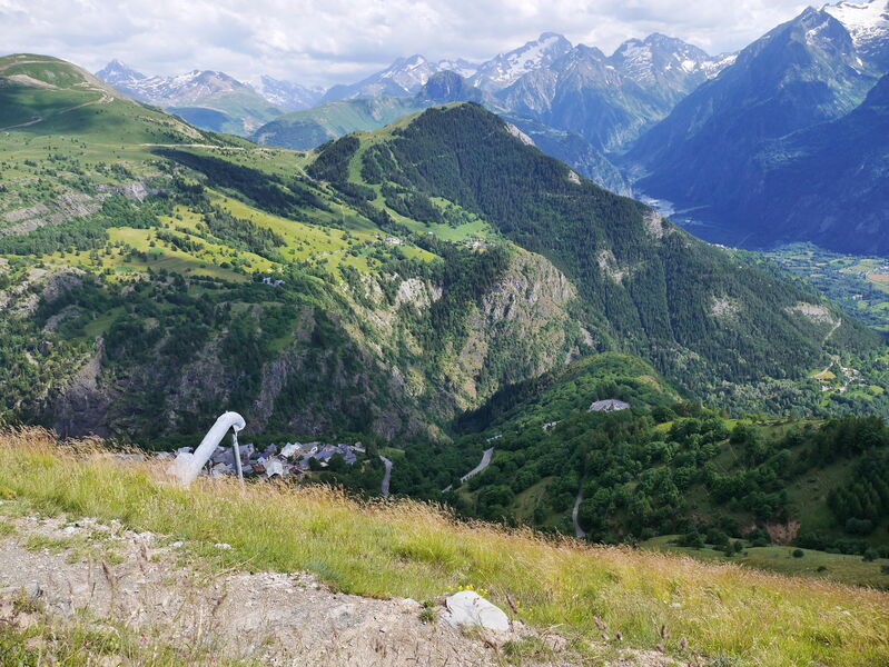
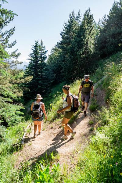
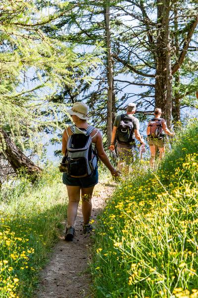
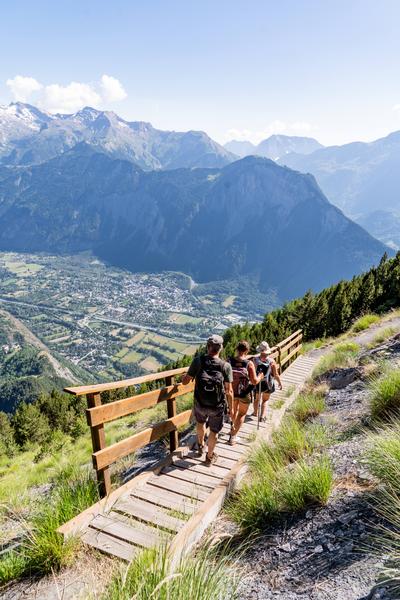
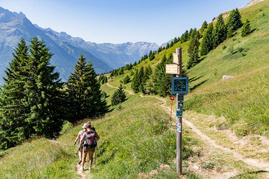
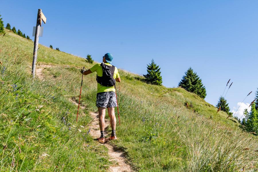
Ce sentier panoramique reliant Villard-Reculas à l'Alpe d'Huez sillonne entre alpages et forêts tout en offrant des vues saisissantes sur les massifs de Belledonne et des Grandes Rousses.
Route labeled FFRandonnée

The characteristics of the route.

Villard-Reculas (38)
- Distance 9.8 km
- Elevation gain 470 m
- Elevation lost 470 m
- Min. elevation 1446 m
- Max. elevation. 1824 m
- Duration (depending on pace) 3h
- Marking Yes
Equipments : Car park, Admission fee : Free access.Opening : From 01/06 to 31/10 daily.
Area : Oisans
Report a problem
Website Pdf file Features of the application :
- Location and orientation on detailed maps thanks to the GPS of your smartphone
- Description of routes and points of interest on the route
- Photo gallery by route
- Detailed elevation profile
- Route tracking alert to warn you if you stray from the route
- Send predefined messages by SMS to your contacts
- Emergency module: trigger a call or send an emergency SMS in case of problem
- Agenda: access to events organized in the department
- News: find in the application the latest news on the web portal
- Adding achievements
- Add reports in case of problems encountered on the routes
- Share on social networks
Add your time and share your feelings
Services nearby

Tourist office of Villard-Reculas
Villard-Reculas
Office de Tourisme
Alpe d'Huez

Musée d'Huez et de l'Oisans
Alpe d'Huez

Cross-country skiing centre
Allemond
Tourist office of Le Bourg-d'Oisans
Le Bourg-d'Oisans


Information updated on 2025-08-06 by Isère Attractivité


Follow us on
the digital trails
the digital trails


![]()
The Isère Outdoor application was created
by the Département de l'Isère
Infos & contact
Conseil départemental de l'Isère
7 rue Fantin Latour
CS 41096
38 022 Grenoble cedex 1
Tel. 04 76 00 38 38
 Isère Outdoor - Parcours - Rando de Villard-Reculas à l'Alpe d'Huez
Hello, world! This is a toast message.
Isère Outdoor - Parcours - Rando de Villard-Reculas à l'Alpe d'Huez
Hello, world! This is a toast message.
Isère Outdoor - Parcours - Rando de Villard-Reculas à l'Alpe d'Huez
Hello, world! This is a toast message.


OK
Annuler