The Sunstone and the balcony of the Drac
Add to my favorites

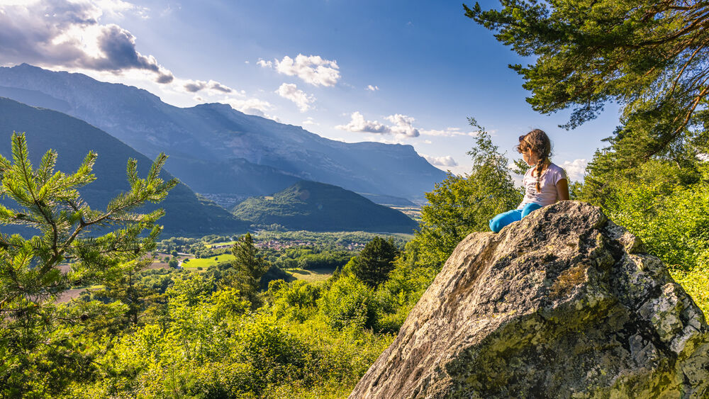
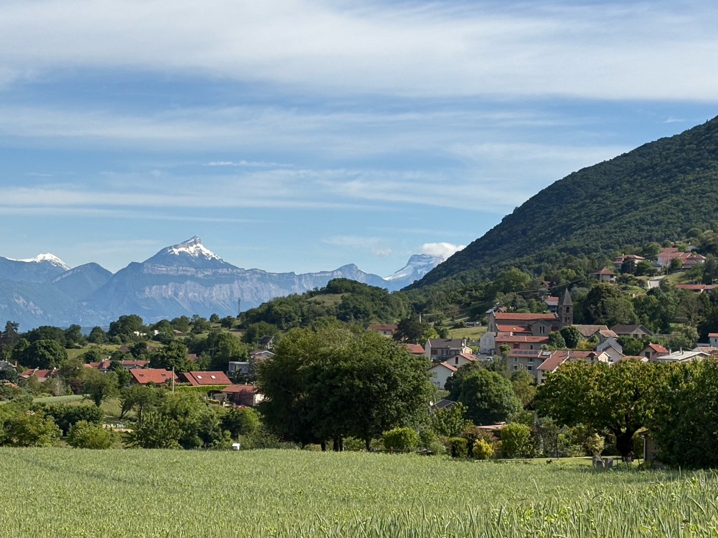
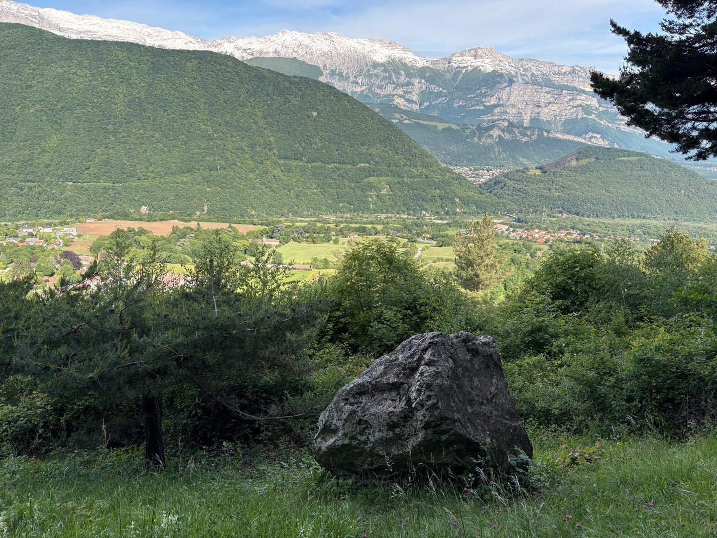
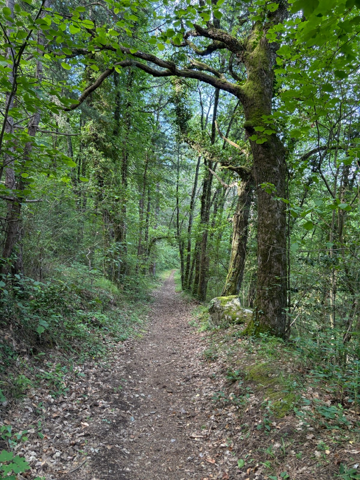
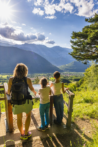
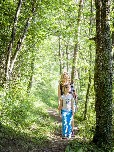
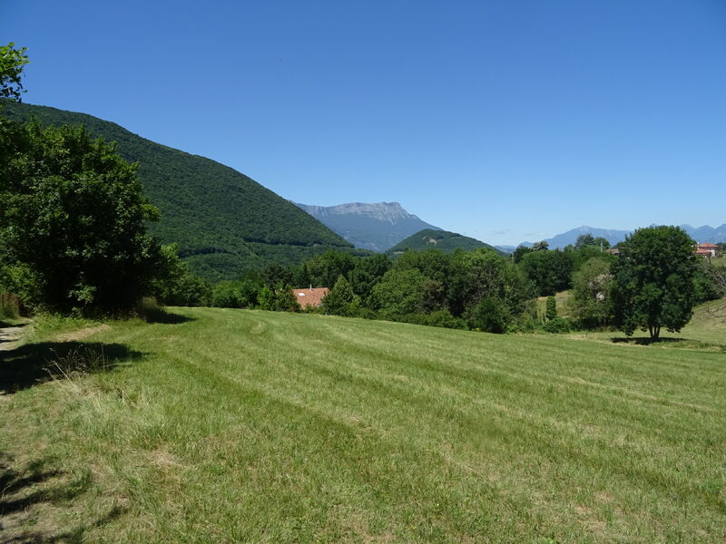
Between Vercors and Taillefer, on the banks of the Drac, this hike without particular difficulty
This hike, without any particular difficulty, makes you perceive the great diversity of Saint-Georges-de-Commiers. Forest, built heritage and viewpoints guide your steps.
The characteristics of the route.

Saint-Georges-de-Commiers (38)
- Distance 5.5 km
- Elevation gain 320 m
- Elevation lost 320 m
- Min. elevation 364 m
- Max. elevation. 614 m
- Duration (depending on pace) 2h20
- Marking Yes
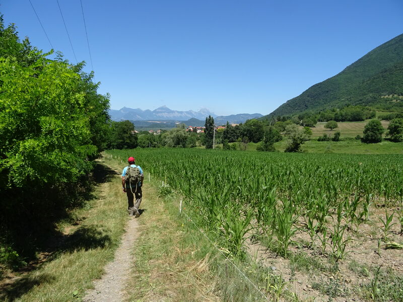
Marking : Yellow markings (Petite Randonnée)Equipments : Car park, Orientation board, Admission fee : Free of charge.Opening : All year round.Step by step description : (Caution: different directional blade systems, and rather approximate altitudes). Park at the St-Georges de Commiers stadium or town hall. Turn left in the direction of de la Tour (alt. 400 m), crossing the departmental road, take the "montée du Moulin" on the small road towards Lachal, following the yellow signs. Do not follow the orange signposted route, but continue up the road, which becomes a stony track. At the La Gardette intersection (alt. 480 m), continue straight on towards Les Chauvets, noted at 600 m. Keep climbing until you reach the asphalt, and continue on the road to pass the Chauvets sign (alt. 550 m), and continue straight on towards Les Beaumes. You'll soon come to the orange Rocher bleu signs. Take the path on the right towards La Pierre du soleil. You'll pass La Pierre du soleil and its orientation table, then come to the La Source crow's-foot (alt. 570 m). At the La Source intersection, you can turn right towards the Saint-Pierre church to complete the walk. To continue, take the level path towards Les Chabouds. After a short climb, the path heads downhill. At Le Planet, continue downhill. The path becomes a street and leads you to the main road (be careful when crossing). You're now at Les Chabouds (alt. 470 m). Cross the road and continue straight ahead towards the church of Saint-Pierre. Continue downhill until you come to an overhang over the La Mure railway line. Turn right with the tracks on your left. Pass through an area of forestry activity selling firewood to reach La Dray (alt. 425 m). Turn left towards La Gare, and cross a bridge over the railroad. Immediately after the bridge, turn right and continue downhill. As you begin to see the Drac on your left, the path widens and rises slightly to reach a new bridge over the railroad. Take this, and after the first house, fork left with a field on your right. Continue straight ahead through the allotments, back to the village of Saint-Georges-de-Commiers.
Points of interest :
- Tower
- Romanesque church
- The Sun Stone
- The Drac river
- The railway
Area : Grenoble-Alpes Métropole
Report a problem
Website Pdf file Features of the application :
- Location and orientation on detailed maps thanks to the GPS of your smartphone
- Description of routes and points of interest on the route
- Photo gallery by route
- Detailed elevation profile
- Route tracking alert to warn you if you stray from the route
- Send predefined messages by SMS to your contacts
- Emergency module: trigger a call or send an emergency SMS in case of problem
- Agenda: access to events organized in the department
- News: find in the application the latest news on the web portal
- Adding achievements
- Add reports in case of problems encountered on the routes
- Share on social networks
ELEMOINERANDO
finished in 02:00:00
The 2026/05/17
En savoir plus
Ajouter votre chrono et partager vos sensations
Services nearby

Musée Champollion
Vif
Musée Autrefois
Champ-sur-Drac
Atelier Gilioli
Saint-Martin-de-la-Cluze

Vizille Tourist Information Center
Vizille
Museum of the French Revolution
Vizille


Information updated on 2025-05-06 by Office de Tourisme Grenoble Alpes


Follow us on
the digital trails
the digital trails


![]()
The Isère Outdoor application was created
by the Département de l'Isère
Infos & contact
Conseil départemental de l'Isère
7 rue Fantin Latour
CS 41096
38 022 Grenoble cedex 1
Tel. 04 76 00 38 38
 Isère Outdoor - Parcours - The Sunstone and the balcony of the Drac
Hello, world! This is a toast message.
Isère Outdoor - Parcours - The Sunstone and the balcony of the Drac
Hello, world! This is a toast message.
Isère Outdoor - Parcours - The Sunstone and the balcony of the Drac
Hello, world! This is a toast message.


OK
Annuler