Tour des Riondettes - Itinéraire hiver
Add to my favorites

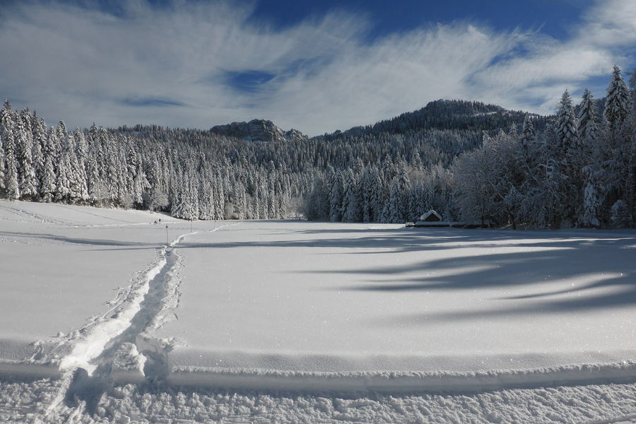
Circuit mélangeant forêts et prairies pour un tour pittoresque avec un belvédère panoramique sur la vallée de St Laurent du Pont et sur les contreforts du petit Som.
The characteristics of the route.

Saint-Christophe-sur-Guiers (38)
- Distance 6 km
- Elevation gain 300 m
- Elevation lost 300 m
- Min. elevation 1145 m
- Max. elevation. 1345 m
- Duration (depending on pace) 3h
- Marking No
Admission fee : Free access.Opening : From 15/12 to 10/03.
Subject to favorable weather.
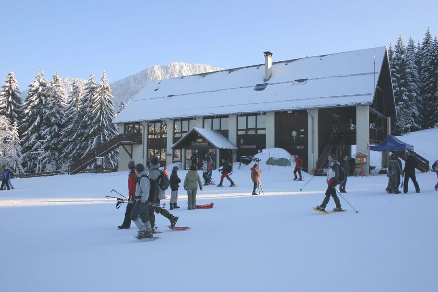
Area : Cœur de Chartreuse
Report a problem
Pdf file Pdf file Features of the application :
- Location and orientation on detailed maps thanks to the GPS of your smartphone
- Description of routes and points of interest on the route
- Photo gallery by route
- Detailed elevation profile
- Route tracking alert to warn you if you stray from the route
- Send predefined messages by SMS to your contacts
- Emergency module: trigger a call or send an emergency SMS in case of problem
- Agenda: access to events organized in the department
- News: find in the application the latest news on the web portal
- Adding achievements
- Add reports in case of problems encountered on the routes
- Share on social networks
mattb2703
finished in 03:05:00
The 2023/01/21
En savoir plus
Ajouter votre chrono et partager vos sensations
2023/01/21 03:05:00
mattb2703
mattb2703
2023/01/21 03:05:00
mattb2703
mattb2703
Services nearby

Coeur de Chartreuse Tourist Information center at Saint Pierre d'Entremont
Saint-Pierre-d'Entremont
Coeur de Chartreuse Tourist Information center at Saint Laurent du Pont
Saint-Laurent-du-Pont

Museum of la Grande Chartreuse
Saint-Pierre-de-Chartreuse

Espace Naturel Sensible des Tourbières de l'Herretang
Saint-Laurent-du-Pont
Coeur de Chartreuse Tourist Information center at Saint Pierre de Chartreuse
Saint-Pierre-de-Chartreuse


Information updated on 2025-01-24 by Chartreuse Tourisme


Follow us on
the digital trails
the digital trails


![]()
The Isère Outdoor application was created
by the Département de l'Isère
Infos & contact
Conseil départemental de l'Isère
7 rue Fantin Latour
CS 41096
38 022 Grenoble cedex 1
Tel. 04 76 00 38 38
 Isère Outdoor - Parcours - Tour des Riondettes - Itinéraire hiver
Hello, world! This is a toast message.
Isère Outdoor - Parcours - Tour des Riondettes - Itinéraire hiver
Hello, world! This is a toast message.
Isère Outdoor - Parcours - Tour des Riondettes - Itinéraire hiver
Hello, world! This is a toast message.


OK
Annuler