Col du Mont Noir par les Écouges
Add to my favorites

Caution! Zone of vigilance near the route
Aigle royal - du 01/01/2026 au 31/08/2026 In progress
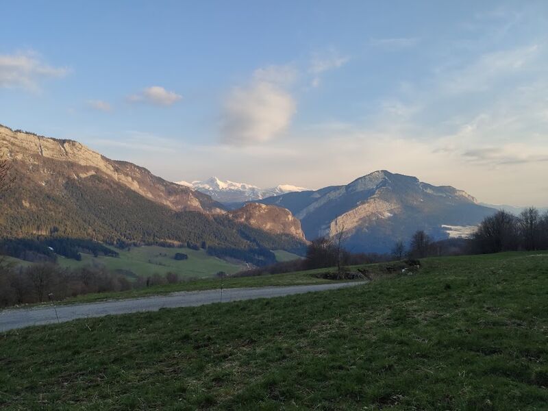
Le Mont Noir est le col cyclable le plus haut du Vercors. Cet itinéraire de 18 km à 7% de moyenne vous permettra de découvrir les gorges des Écouges et son étonnant tunnel. Le Col du Mont Noir se situe à 1421 m d'altitude, en pleine forêt des Coulmes.
The characteristics of the route.

Rencurel (38)
- Distance 16.2 km
- Elevation gain 1500 m
- Elevation lost 270 m
- Min. elevation 203 m
- Max. elevation. 1434 m
- Duration (depending on pace) 2h
- Marking No
Admission fee : Free access.Opening : From 01/04 to 31/10.
Subject to snow conditions.
Area : Saint-Marcellin Vercors Isère
Report a problem
Features of the application :
- Location and orientation on detailed maps thanks to the GPS of your smartphone
- Description of routes and points of interest on the route
- Photo gallery by route
- Detailed elevation profile
- Route tracking alert to warn you if you stray from the route
- Send predefined messages by SMS to your contacts
- Emergency module: trigger a call or send an emergency SMS in case of problem
- Agenda: access to events organized in the department
- News: find in the application the latest news on the web portal
- Adding achievements
- Add reports in case of problems encountered on the routes
- Share on social networks
Add your time and share your feelings
Services nearby

Espace naturel sensible du Domaine des Ecouges
Saint-Gervais

Le Grand Séchoir | Maison du pays de la noix
Vinay

Foyer de ski de fond Autrans
Autrans-Méaudre en Vercors
Centre Nordique d'Autrans
Autrans-Méaudre en Vercors

OTI Vercors - Bureau d'informations d'Autrans
Autrans-Méaudre en Vercors


Information updated on 2020-09-18 by Département de l'Isère


Follow us on
the digital trails
the digital trails


![]()
The Isère Outdoor application was created
by the Département de l'Isère
Infos & contact
Conseil départemental de l'Isère
7 rue Fantin Latour
CS 41096
38 022 Grenoble cedex 1
Tel. 04 76 00 38 38
 Isère Outdoor - Parcours - Col du Mont Noir par les Écouges
Hello, world! This is a toast message.
Isère Outdoor - Parcours - Col du Mont Noir par les Écouges
Hello, world! This is a toast message.
Isère Outdoor - Parcours - Col du Mont Noir par les Écouges
Hello, world! This is a toast message.


OK
Annuler