Sous la Tune de l'Ours
Add to my favorites

Caution! Zone of vigilance near the route
Darbounouse - du 05/07/2026 au 05/10/2026 In progress
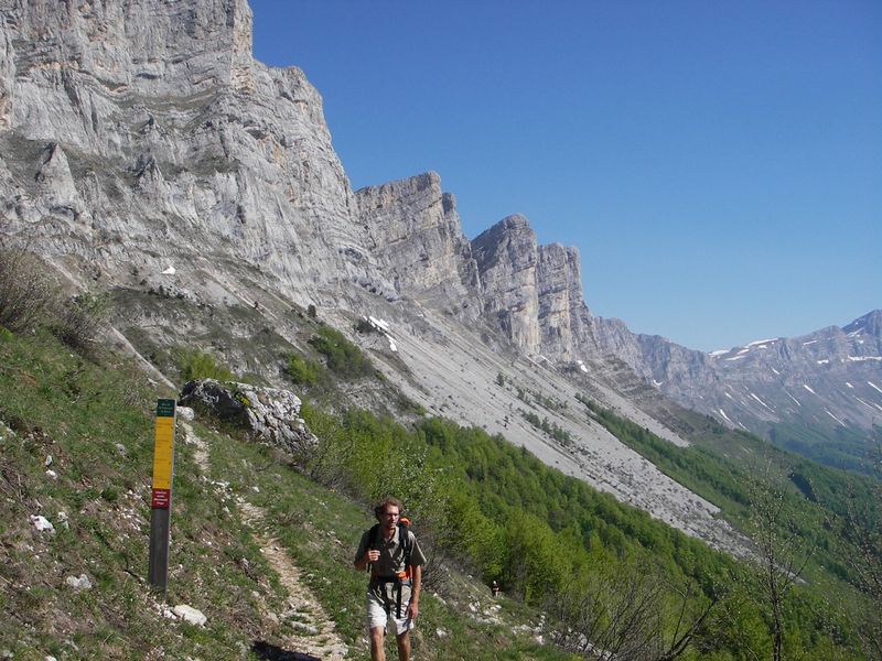
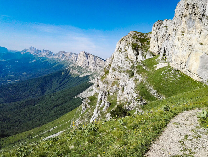
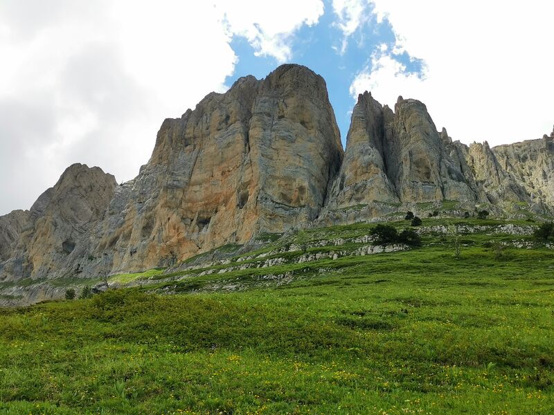
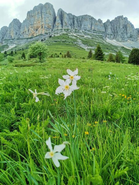
Sous l’impressionnante barrière orientale du Vercors, cette boucle permet de prendre de la hauteur depuis Saint-Andéol et d’apprécier de magnifiques vues sur le Trièves et les Écrins.
Route labeled FFRandonnée

The characteristics of the route.

Saint-Andéol (38)
- Distance 8.3 km
- Elevation gain 600 m
- Elevation lost 600 m
- Min. elevation 1027 m
- Max. elevation. 1598 m
- Duration (depending on pace) 4h30
- Marking Yes
Equipments : Car park, Admission fee : Free access.Opening : All year round.
Subject to favorable weather.
Area : Trièves
Report a problem
Website Pdf file Features of the application :
- Location and orientation on detailed maps thanks to the GPS of your smartphone
- Description of routes and points of interest on the route
- Photo gallery by route
- Detailed elevation profile
- Route tracking alert to warn you if you stray from the route
- Send predefined messages by SMS to your contacts
- Emergency module: trigger a call or send an emergency SMS in case of problem
- Agenda: access to events organized in the department
- News: find in the application the latest news on the web portal
- Adding achievements
- Add reports in case of problems encountered on the routes
- Share on social networks
Add your time and share your feelings
Services nearby

Refuge La Soldanelle
Château-Bernard

Bureau d'Informations Touristiques de Gresse en Vercors - Office de Tourisme du Trièves
Gresse-en-Vercors

Foyer nordique de Gresse-en-Vercors
Gresse-en-Vercors
Foyer de ski de fond des Hauts Plateaux
Corrençon-en-Vercors

Atelier Gilioli
Saint-Martin-de-la-Cluze


Follow us on
the digital trails
the digital trails


![]()
The Isère Outdoor application was created
by the Département de l'Isère
Infos & contact
Conseil départemental de l'Isère
7 rue Fantin Latour
CS 41096
38 022 Grenoble cedex 1
Tel. 04 76 00 38 38
 Isère Outdoor - Parcours - Sous la Tune de l'Ours
Hello, world! This is a toast message.
Isère Outdoor - Parcours - Sous la Tune de l'Ours
Hello, world! This is a toast message.
Isère Outdoor - Parcours - Sous la Tune de l'Ours
Hello, world! This is a toast message.


OK
Annuler