Col de la Croix de Fer - Col du Glandon
Add to my favorites

Caution! Zone of vigilance near the route
ALLEMOND - du 24/10/2026 au 24/10/2026 In progress
Partie haute la Garde - du 01/06/2026 au 30/10/2026 In progress
Pregentil - du 15/05/2026 au 30/10/2026 In progress
La Valette - du 15/06/2026 au 30/10/2026 In progress
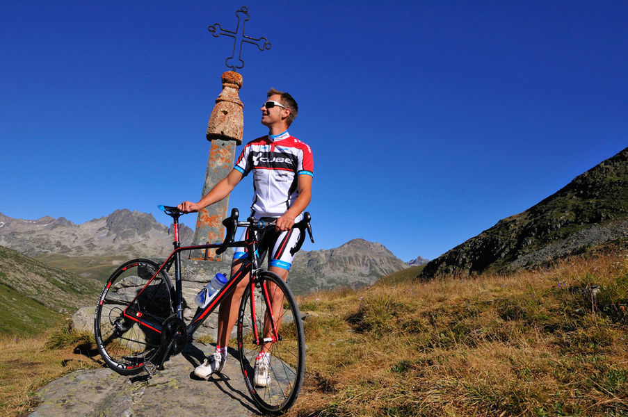
A beautiful tour in the Eau d'Olle Valley that will lead you to the borders of Oisans on the Savoy side. The climb is steep up to the Lake Grand Maison. Your calf muscles will certainly remember some of the sections. But once on the top, what a joy!
The characteristics of the route.

Le Bourg-d'Oisans (38)
- Distance 79.58 km
- Elevation gain 1830 m
- Elevation lost 1830 m
- Min. elevation 710 m
- Max. elevation. 2064 m
- Duration (depending on pace) 3h45
- Marking No
Itinerary available on “Vélo in Oisans” map (Oisans Tourisme)
Departure / Arrival: Bourg d’Oisans 720 m
Time: 3 h 45
Distance (R/T): 80 km
Highest point: 2071 m
Lowest point: 710 m
Total ascent: 2086 m
Max. gradient: 12%
Map: Michelin Local Map no. 333 Isère, Savoie
ITINERARY
From Bourg d’Oisans, follow the D1091 towards Grenoble.
In Rochetaillée follow the route to “Allemond / Col du Glandon - Col de la Croix de Fer”.
On leaving Allemond, climb up 2 hairpin bends to get to the top of the Verney dam. At the end of the dam, the route towards “Col du Glandon - Col de la Croix de Fer” will be signposted taking you alongside the Lake Verney.
At the end of the lake, you will start a steep climb up to Rivier d'Allemond.
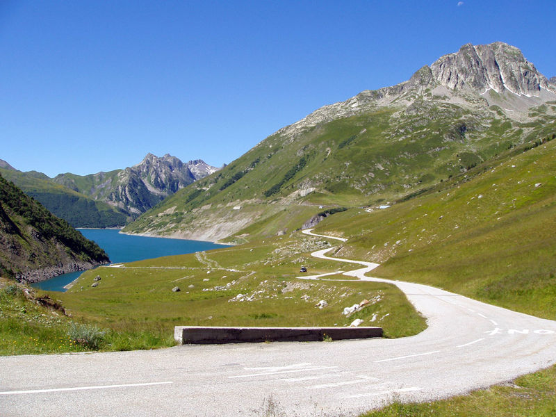
At Rivier, you can take a little breather before to dropping down to the bottom of the valley and then attacking a new strenuous climb up to Lake Grand Maison.
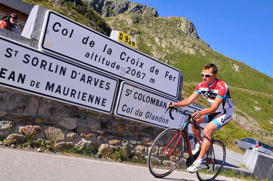
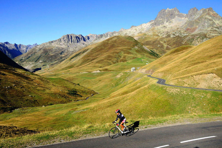
Once arrived at the lake, the steep-sided valley gives way to beautiful alpine pastures. The ride will be more easy-going from here to the Col de la Croix de Fer (2067 m).
After enjoying the view of the Aiguilles d'Arves, go back to Bourg d'Oisans by the same way.
LITTLE BONUS: Col du Glandon
On the way back, turn right towards Col du Glandon.
Distance (R/T): 440 m
Time: 5 min
Total ascent: 22 mOpening : From 05/01 to 10/31 : open daily. Learn about the opening date of the path.
Area : Oisans
Report a problem
Website Col de la Croix de Fer - Col du Glandon Features of the application :
- Location and orientation on detailed maps thanks to the GPS of your smartphone
- Description of routes and points of interest on the route
- Photo gallery by route
- Detailed elevation profile
- Route tracking alert to warn you if you stray from the route
- Send predefined messages by SMS to your contacts
- Emergency module: trigger a call or send an emergency SMS in case of problem
- Agenda: access to events organized in the department
- News: find in the application the latest news on the web portal
- Adding achievements
- Add reports in case of problems encountered on the routes
- Share on social networks
Add your time and share your feelings
Services nearby

Maison de l'Oisans et du Parc national des Écrins
Le Bourg-d'Oisans

GALTA the Alpine Treasures Gallery
Le Bourg-d'Oisans
Auris-en-Oisans Tourist Office
Auris-en-Oisans
Tourist office of Villard-Reculas
Villard-Reculas
Office de Tourisme
Alpe d'Huez



Follow us on
the digital trails
the digital trails





The Isère Outdoor application was created
by the Département de l'Isère
Infos & contact
Conseil départemental de l'Isère
7 rue Fantin Latour
CS 41096
38 022 Grenoble cedex 1
Tel. 04 76 00 38 38
 Isère Outdoor - Parcours - Col de la Croix de Fer - Col du Glandon
Hello, world! This is a toast message.
Isère Outdoor - Parcours - Col de la Croix de Fer - Col du Glandon
Hello, world! This is a toast message.
Isère Outdoor - Parcours - Col de la Croix de Fer - Col du Glandon
Hello, world! This is a toast message.


OK
Annuler