The Signal de l'Homme ride
Add to my favorites

Caution! Zone of vigilance near the route
Cassini - du 20/06/2026 au 20/10/2026 In progress
Alpage d'Auris - du 22/05/2026 au 22/10/2026 In progress
Partie haute la Garde - du 01/06/2026 au 30/10/2026 In progress
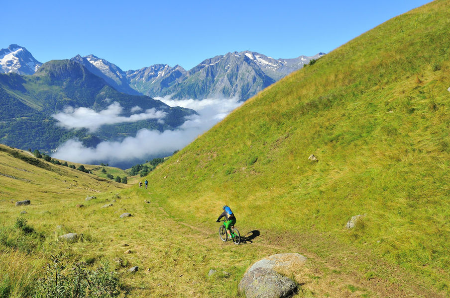
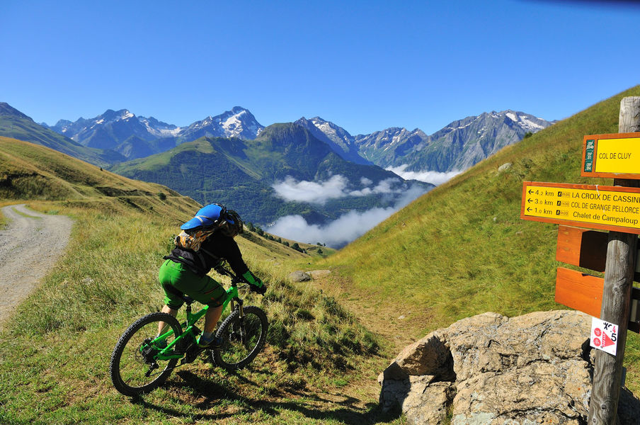
This hike around Signal de l'Homme offers breathtaking views of Grandes Rousse and the Sarenne valley. Once you've passed the Col de Cluy, it's the turn of the Écrins massif to amaze you!
The characteristics of the route.
Auris-en-Oisans (38)
- Distance 9.64 km
- Elevation gain 320 m
- Elevation lost 320 m
- Min. elevation 1528 m
- Max. elevation. 1815 m
- Duration (depending on pace) 2h
- Marking No
Route in the “MTB in Oisans” guide (Oisans Tourisme)
Departure / Arrival (loop): Auris-en-Oisans (ski resort) 1600 m
Time: 2 hours
Distance: 9.5 km
Highest point: 1800 m
Lowest point: 1530 m
Total ascent: 312 m
Total descent: -312 m
Technique: 1.5/4
Endurance: 1.5/4
Map: Top 25 Bourg d'Oisans et l'Alpe d'Huez 3335 ET
ROUTE
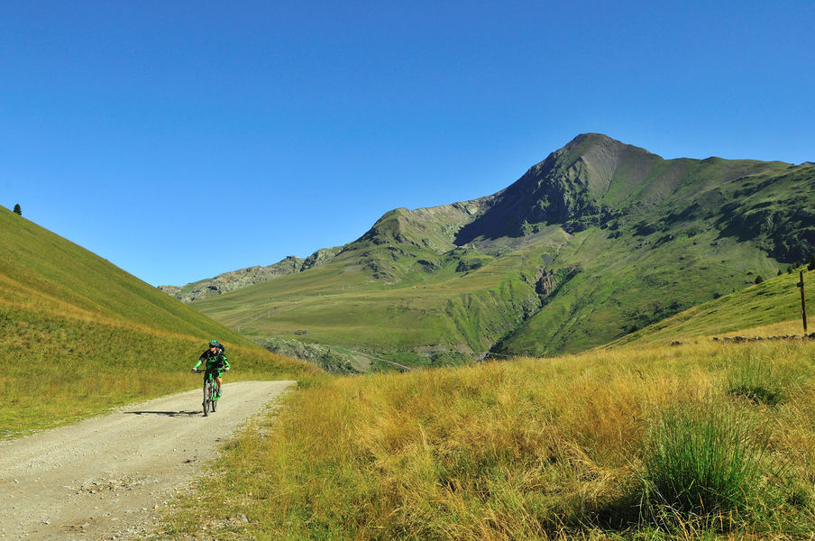
From the Orgières car park in Auris-en-Oisans, take the path up to the Col de Maronne. Once at the Col, carry on to the right on a well-marked 4WD track that leads to the Col de Cluy.
From the Col de Cluy, take the grassy path down to the right towards La Chapelle Saint-Giraud. This descent through pastureland is slightly more technical, but has no specific difficulties. The path is not too steep and is wide enough for you to put your feet down if necessary (although you also have the option of avoiding this section by continuing along the track, which also leads to la Chapelle).
The path joins back up with the track, which you take to the right. Ride past the chapel at Cluy, before arriving at La Chapelle Saint-Giraud just above the road.
From here, take the path that goes off to the rear, which climbs gradually up to Auris (you can also ride back on the road).Opening : From 01/06 to 31/10 daily. Subject to favorable snow and weather conditions.
Departure / Arrival (loop): Auris-en-Oisans (ski resort) 1600 m
Time: 2 hours
Distance: 9.5 km
Highest point: 1800 m
Lowest point: 1530 m
Total ascent: 312 m
Total descent: -312 m
Technique: 1.5/4
Endurance: 1.5/4
Map: Top 25 Bourg d'Oisans et l'Alpe d'Huez 3335 ET
ROUTE
From the Orgières car park in Auris-en-Oisans, take the path up to the Col de Maronne. Once at the Col, carry on to the right on a well-marked 4WD track that leads to the Col de Cluy.
From the Col de Cluy, take the grassy path down to the right towards La Chapelle Saint-Giraud. This descent through pastureland is slightly more technical, but has no specific difficulties. The path is not too steep and is wide enough for you to put your feet down if necessary (although you also have the option of avoiding this section by continuing along the track, which also leads to la Chapelle).
The path joins back up with the track, which you take to the right. Ride past the chapel at Cluy, before arriving at La Chapelle Saint-Giraud just above the road.
From here, take the path that goes off to the rear, which climbs gradually up to Auris (you can also ride back on the road).Opening : From 01/06 to 31/10 daily. Subject to favorable snow and weather conditions.
Area : Oisans
Report a problem
Website Auris - VTT/ VTTAE La balade du Signal de l'Homme Features of the application :
- Location and orientation on detailed maps thanks to the GPS of your smartphone
- Description of routes and points of interest on the route
- Photo gallery by route
- Detailed elevation profile
- Route tracking alert to warn you if you stray from the route
- Send predefined messages by SMS to your contacts
- Emergency module: trigger a call or send an emergency SMS in case of problem
- Agenda: access to events organized in the department
- News: find in the application the latest news on the web portal
- Adding achievements
- Add reports in case of problems encountered on the routes
- Share on social networks
Add your time and share your feelings
Services nearby

Auris-en-Oisans Tourist Office
Auris-en-Oisans

Alpe d'Huez Museum of History and Archaeology
Alpe d'Huez
Maison de l'Oisans et du Parc national des Écrins
Le Bourg-d'Oisans
GALTA the Alpine Treasures Gallery
Le Bourg-d'Oisans
Office de Tourisme
Alpe d'Huez




Follow us on
the digital trails
the digital trails





The Isère Outdoor application was created
by the Département de l'Isère
Infos & contact
Conseil départemental de l'Isère
7 rue Fantin Latour
CS 41096
38 022 Grenoble cedex 1
Tel. 04 76 00 38 38
 Isère Outdoor - Parcours - The Signal de l'Homme ride
Hello, world! This is a toast message.
Isère Outdoor - Parcours - The Signal de l'Homme ride
Hello, world! This is a toast message.
Isère Outdoor - Parcours - The Signal de l'Homme ride
Hello, world! This is a toast message.


OK
Annuler