Au fil du Suzon
Add to my favorites

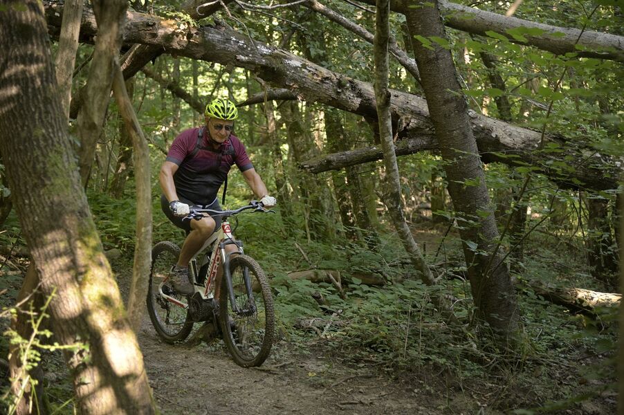
Une nature aux visages multiples. Cet itinéraire vous emmènera à la découverte d'espaces multicolores et variés. Des petits cours d'eau en vallons encaissés, de prairies verdoyantes en champs cultivés. Vous ne voudrez plus descendrez plus de votre vélo.
The characteristics of the route.

Beaurepaire (38)
- Distance 17.56 km
- Elevation gain 160 m
- Elevation lost 160 m
- Min. elevation 259 m
- Max. elevation. 370 m
- Duration (depending on pace) 2h30
- Marking No
Admission fee : Free of charge
Area : Entre Bièvre et Rhône
Report a problem
Website Au fil du Suzon_Beaurepaire Au fil du Suzon Features of the application :
- Location and orientation on detailed maps thanks to the GPS of your smartphone
- Description of routes and points of interest on the route
- Photo gallery by route
- Detailed elevation profile
- Route tracking alert to warn you if you stray from the route
- Send predefined messages by SMS to your contacts
- Emergency module: trigger a call or send an emergency SMS in case of problem
- Agenda: access to events organized in the department
- News: find in the application the latest news on the web portal
- Adding achievements
- Add reports in case of problems encountered on the routes
- Share on social networks
Add your time and share your feelings
Services nearby

Office de tourisme
Beaurepaire

Espace naturel sensible Les fontaines de Beaufort
Beaufort

Castle of Jarcieu
Jarcieu
Espace naturel sensible de la Salette
Bellegarde-Poussieu
Roybon Tourist information center
Roybon


Information updated on 2026-06-22 by Office de Tourisme Entre Bièvre et Rhône


Follow us on
the digital trails
the digital trails





The Isère Outdoor application was created
by the Département de l'Isère
Infos & contact
Conseil départemental de l'Isère
7 rue Fantin Latour
CS 41096
38 022 Grenoble cedex 1
Tel. 04 76 00 38 38
 Isère Outdoor - Parcours - Au fil du Suzon
Hello, world! This is a toast message.
Isère Outdoor - Parcours - Au fil du Suzon
Hello, world! This is a toast message.
Isère Outdoor - Parcours - Au fil du Suzon
Hello, world! This is a toast message.


OK
Annuler