Walk to the roof of the Balme caves via the Saint-Roch slopes
Add to my favorites

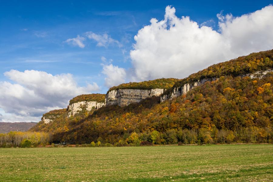
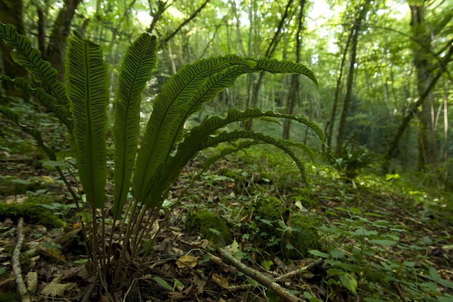
There are 8 interpretation points along this loop. Not only will you be able to get some height, but you'll also be able to discover a range of unspoilt natural environments: the La Balme caves and cliffs, the forest and the dry grasslands.
The characteristics of the route.

La Balme-les-Grottes (38)
- Distance 2.64 km
- Elevation gain 170 m
- Elevation lost 170 m
- Min. elevation 221 m
- Max. elevation. 380 m
- Marking Yes
The site is home to a remarkable array of flora and fauna.
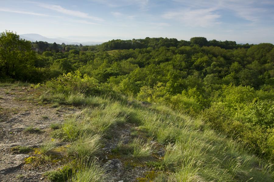
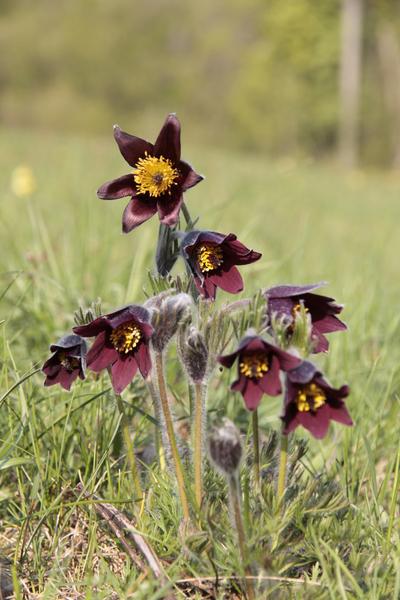
Keep your eyes peeled! You may be able to spot the red pulsatilla and the Carthusian carnation, which flower in early spring, or the many birds of prey that like to nest in the rock faces of this sensitive natural area.Marking : There are 8 interpretation points along this loop.Good plans : This walk is not recommended for families with young children because of the steep gradient, particularly on the descent.Delicate passages : The last part of the loop begins a steep descent that requires good footwear.Admission fee : Free access.Opening : All year round daily. Subject to favorable weather.Step by step description : 1 - When facing the entrance to the caves, continue to the right for about 200 metres. 2 - Turn left and take the small footpath stairs that lead up into the forest. 3 - Follow the directional markers leading to the plateau and the dry grasslands of Suptilieu. 4 - From the plateau, you can enjoy views over the Ain plain and the Bugey mountains. 5 - Descend by following the trail and the directional markers — you’ll pass through beautiful lime tree woods (caution: steep descent). 6 - At the local road, turn left to return to the village of La Balme and the caves.
Keep your eyes peeled! You may be able to spot the red pulsatilla and the Carthusian carnation, which flower in early spring, or the many birds of prey that like to nest in the rock faces of this sensitive natural area.Marking : There are 8 interpretation points along this loop.Good plans : This walk is not recommended for families with young children because of the steep gradient, particularly on the descent.Delicate passages : The last part of the loop begins a steep descent that requires good footwear.Admission fee : Free access.Opening : All year round daily. Subject to favorable weather.Step by step description : 1 - When facing the entrance to the caves, continue to the right for about 200 metres. 2 - Turn left and take the small footpath stairs that lead up into the forest. 3 - Follow the directional markers leading to the plateau and the dry grasslands of Suptilieu. 4 - From the plateau, you can enjoy views over the Ain plain and the Bugey mountains. 5 - Descend by following the trail and the directional markers — you’ll pass through beautiful lime tree woods (caution: steep descent). 6 - At the local road, turn left to return to the village of La Balme and the caves.
Area : Balcons du Dauphiné
Report a problem
Website Pdf file Features of the application :
- Location and orientation on detailed maps thanks to the GPS of your smartphone
- Description of routes and points of interest on the route
- Photo gallery by route
- Detailed elevation profile
- Route tracking alert to warn you if you stray from the route
- Send predefined messages by SMS to your contacts
- Emergency module: trigger a call or send an emergency SMS in case of problem
- Agenda: access to events organized in the department
- News: find in the application the latest news on the web portal
- Adding achievements
- Add reports in case of problems encountered on the routes
- Share on social networks
Add your time and share your feelings
Services nearby

Sortie Lo Parvi : Découverte des libellules
Charette

Tourist information point
Montalieu-Vercieu

Hières-sur-Amby archaeological museum
Hières-sur-Amby

Relais Cyné in Bouvesse Quirieu
Bouvesse-Quirieu
Etang de Lemps sensitive natural area
Optevoz


Information updated on 2026-06-27 by Office du Tourisme Les Balcons du Dauphiné


Follow us on
the digital trails
the digital trails





The Isère Outdoor application was created
by the Département de l'Isère
Infos & contact
Conseil départemental de l'Isère
7 rue Fantin Latour
CS 41096
38 022 Grenoble cedex 1
Tel. 04 76 00 38 38
 Isère Outdoor - Parcours - Walk to the roof of the Balme caves via the Saint-Roch slopes
Hello, world! This is a toast message.
Isère Outdoor - Parcours - Walk to the roof of the Balme caves via the Saint-Roch slopes
Hello, world! This is a toast message.
Isère Outdoor - Parcours - Walk to the roof of the Balme caves via the Saint-Roch slopes
Hello, world! This is a toast message.



OK
Annuler