Le sentier des papillons
Add to my favorites

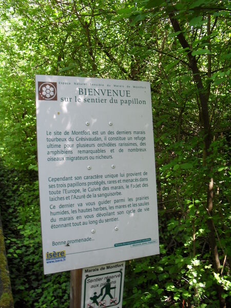
Ce sentier aménagé vous fait découvrir de façon très pédagogique 3 espèces de papillons rares, menacés dans toute l’Europe et protégés au niveau national, emblématiques du site :
L’Azuré de la Sanguisorbe,
Le Fadet des Laîches,
Le Cuivré des marais.
The characteristics of the route.

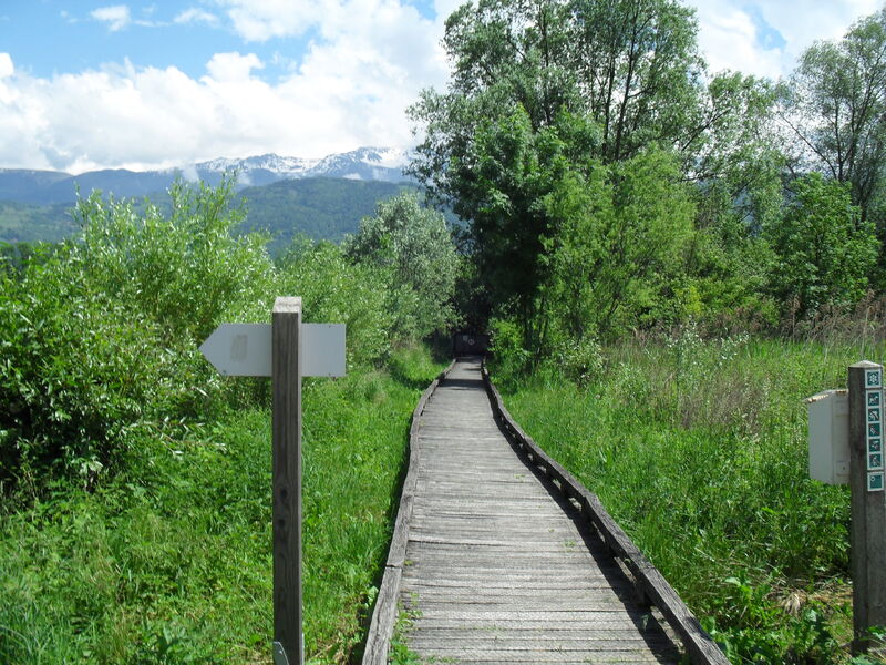
Crolles (38)
- Distance 2.05 km
- Elevation gain 40 m
- Elevation lost 40 m
- Min. elevation 219 m
- Max. elevation. 236 m
- Duration (depending on pace) 1h
- Marking Yes
Equipments : Parking nearby, Admission fee : Free access.
Area : Grésivaudan
Report a problem
Website Le sentier des papillons Features of the application :
- Location and orientation on detailed maps thanks to the GPS of your smartphone
- Description of routes and points of interest on the route
- Photo gallery by route
- Detailed elevation profile
- Route tracking alert to warn you if you stray from the route
- Send predefined messages by SMS to your contacts
- Emergency module: trigger a call or send an emergency SMS in case of problem
- Agenda: access to events organized in the department
- News: find in the application the latest news on the web portal
- Adding achievements
- Add reports in case of problems encountered on the routes
- Share on social networks
Add your time and share your feelings
Services nearby

Espace naturel sensible du Marais de Montfort
Crolles

Bureau d'Information Touristique des Petites Roches
Plateau des Petites Roches
Espace naturel sensible du col du Coq
Plateau des Petites Roches

La Combe de Lancey Museum
La Combe-de-Lancey
Maison Bergès
Villard-Bonnot


Information updated on 2025-06-30 by Office de Tourisme de Belledonne Chartreuse


Follow us on
the digital trails
the digital trails


![]()
The Isère Outdoor application was created
by the Département de l'Isère
Infos & contact
Conseil départemental de l'Isère
7 rue Fantin Latour
CS 41096
38 022 Grenoble cedex 1
Tel. 04 76 00 38 38
 Isère Outdoor - Parcours - Le sentier des papillons
Hello, world! This is a toast message.
Isère Outdoor - Parcours - Le sentier des papillons
Hello, world! This is a toast message.
Isère Outdoor - Parcours - Le sentier des papillons
Hello, world! This is a toast message.


OK
Annuler