Castles and crest path
Add to my favorites


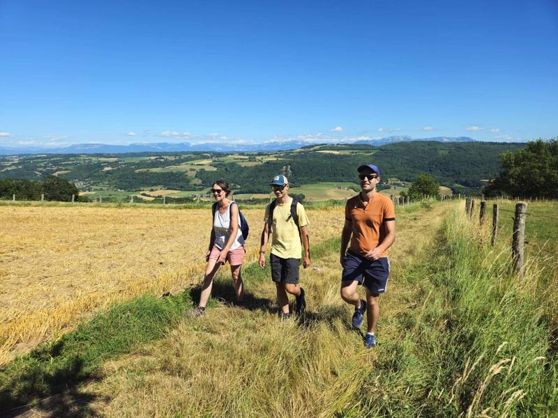
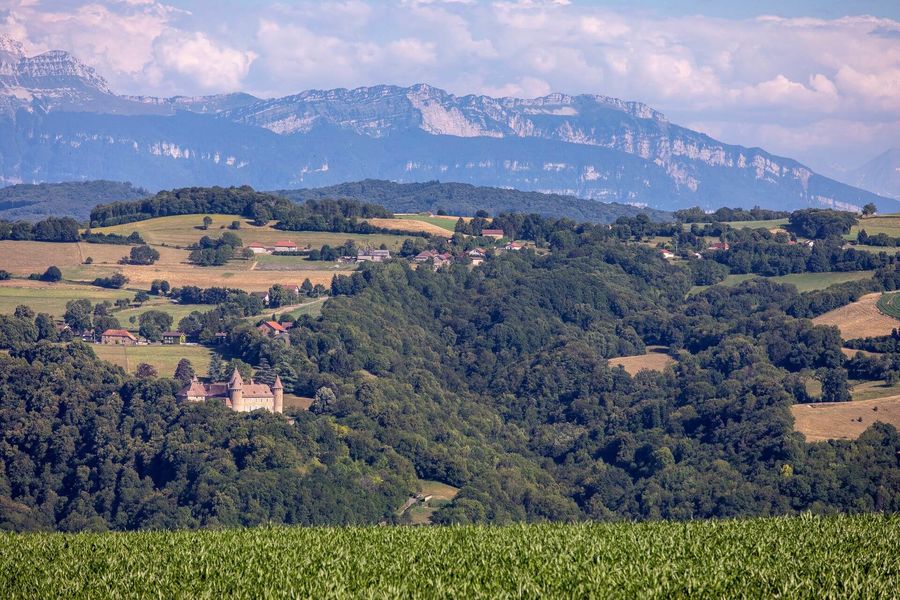
The ridges offer breathtaking views of the châteaux of Virieu and Pupetières. It is a 360° panorama over the Bugey, Chartreuse, Bauges and Vercors ranges, with a view of Mont Blanc on a clear day.
The characteristics of the route.

Val-de-Virieu (38)
- Distance 16.38 km
- Elevation gain 380 m
- Elevation lost 380 m
- Min. elevation 387 m
- Max. elevation. 643 m
- Duration (depending on pace) 4h45
- Marking Yes
ROUTE
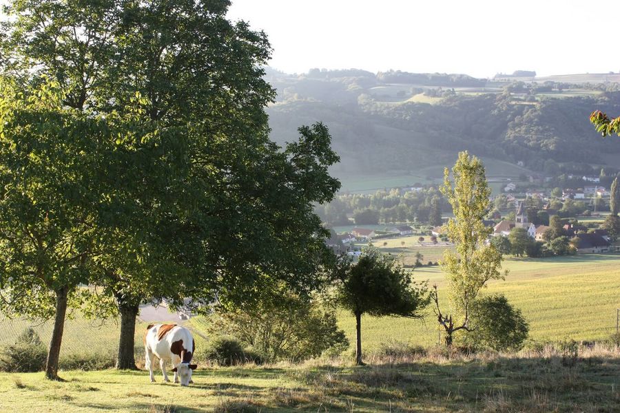
Many panoramas over the Haute Bourbre valley and the Bugey summits, from Chartreuse to Avant Pays Savoyard, await you on this path full of rich hertiage discoveries. Cottages with adobe walls and typical dauphinois roofs, fortified Houses and castles will offer you some breathtaking views and nice breaks along this sporty loop.
WAYMARKING AND SIGNPOSTING
From the SNCF train station of Virieu-sur-Bourbre (Saint André le Gaz - Grenoble line), follow the yellow marks and the following crossroads:
Beauregard > Le Luteau > Chardenouse > Radio-balise > Châtaignier de Bourrique > Grand Blandin > Château de Molinière > Blandin > Mallein > Combe Mounard > Les Tournelles > Le Trêve > Virieu > Back to : gare SNCFMarking : From the SNCF train station of Virieu-sur-Bourbre (Grenoble - Saint-André le Gaz line), follow the yellow marks and the following crossroads: Beauregard > Le Luteau > Chardenouse > Radio-balise > Châtaignier de Bourrique > Grand Blandin > Château de Molinière > Blandin > Mallein > Combe Mounard > Les Tournelles > Le Trêve > Virieu > Retour : gare SNCFEquipments : Public WC, Car park, Admission fee : Free access.Opening : All year round, free access.
Area : Vals du Dauphiné
Report a problem
Website Features of the application :
- Location and orientation on detailed maps thanks to the GPS of your smartphone
- Description of routes and points of interest on the route
- Photo gallery by route
- Detailed elevation profile
- Route tracking alert to warn you if you stray from the route
- Send predefined messages by SMS to your contacts
- Emergency module: trigger a call or send an emergency SMS in case of problem
- Agenda: access to events organized in the department
- News: find in the application the latest news on the web portal
- Adding achievements
- Add reports in case of problems encountered on the routes
- Share on social networks
Add your time and share your feelings
Services nearby

Clog museum
Val-de-Virieu

Relais Cyné de Châbons
Châbons
Lake Paladru Archeological Museum
Villages du lac de Paladru

Espace Naturel Sensible des Marais de la Véronnière et du Courbon
Villages du lac de Paladru

Pays Voironnais Tourist Office, Lake Paladru information office
Charavines


Information updated on 2026-04-15 by Office de Tourisme des Vals du Dauphiné


Follow us on
the digital trails
the digital trails


![]()
The Isère Outdoor application was created
by the Département de l'Isère
Infos & contact
Conseil départemental de l'Isère
7 rue Fantin Latour
CS 41096
38 022 Grenoble cedex 1
Tel. 04 76 00 38 38
 Isère Outdoor - Parcours - Castles and crest path
Hello, world! This is a toast message.
Isère Outdoor - Parcours - Castles and crest path
Hello, world! This is a toast message.
Isère Outdoor - Parcours - Castles and crest path
Hello, world! This is a toast message.


OK
Annuler