Route n°11 Les Gorges de Verbois
Add to my favorites

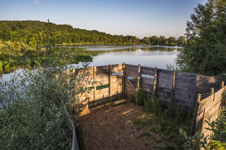
This mountain-bike itinerary takes you to the Environmentally Sensitive Area of Lemps Lake and also visits the Verbois Gorges.
The characteristics of the route.

Montalieu-Vercieu (38)
- Distance 52.64 km
- Elevation gain 640 m
- Elevation lost 640 m
- Min. elevation 201 m
- Max. elevation. 372 m
- Duration (depending on pace) 6h
- Marking Yes
Marking : Red FFCT markingsEquipments : Picnic area, Public WC, Parking nearby, Delicate passages : Be careful when crossing the country roads!Admission fee : Free access.Opening : All year round.
Subject to favorable weather.
Area : Balcons du Dauphiné
Report a problem
Website Features of the application :
- Location and orientation on detailed maps thanks to the GPS of your smartphone
- Description of routes and points of interest on the route
- Photo gallery by route
- Detailed elevation profile
- Route tracking alert to warn you if you stray from the route
- Send predefined messages by SMS to your contacts
- Emergency module: trigger a call or send an emergency SMS in case of problem
- Agenda: access to events organized in the department
- News: find in the application the latest news on the web portal
- Adding achievements
- Add reports in case of problems encountered on the routes
- Share on social networks
Add your time and share your feelings
Services nearby

Point Information Vallée Bleue
Montalieu-Vercieu

Relais Cyné in Bouvesse Quirieu
Bouvesse-Quirieu

Sortie Lo Parvi : Découverte des libellules
Charette
Etang de Lemps sensitive natural area
Optevoz

Hières-sur-Amby Heritage Centre
Hières-sur-Amby


Information updated on 2024-08-14 by Office du Tourisme Les Balcons du Dauphiné


Follow us on
the digital trails
the digital trails


![]()
The Isère Outdoor application was created
by the Département de l'Isère
Infos & contact
Conseil départemental de l'Isère
7 rue Fantin Latour
CS 41096
38 022 Grenoble cedex 1
Tel. 04 76 00 38 38
 Isère Outdoor - Parcours - Route n°11 Les Gorges de Verbois
Hello, world! This is a toast message.
Isère Outdoor - Parcours - Route n°11 Les Gorges de Verbois
Hello, world! This is a toast message.
Isère Outdoor - Parcours - Route n°11 Les Gorges de Verbois
Hello, world! This is a toast message.


OK
Annuler