Between valleys and countryside
Add to my favorites

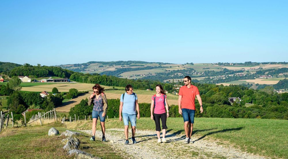
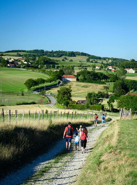
Come and walk a portion of the route to Santiago de Compostela o Valencogne heights offering beautiful views of the Chartreuse massif. Calmness and resourcefulness guaranteed!
The characteristics of the route.

Valencogne (38)
- Distance 10.9 km
- Elevation gain 240 m
- Elevation lost 240 m
- Min. elevation 523 m
- Max. elevation. 679 m
- Duration (depending on pace) 3h
- Marking Yes
From the Valencogne parking lot, follow the yellow markers and the following crossroads:
VALENCOGNE (start) > Chemin du lavoir > Le Gréhaut > Sourilloud > Lambert > Côte Simandre > Chemin de la vie > Les routes > Croix du Jubilé > Le Brocard > Chemin du lavoir > VALENCOGNE (finish)
From the church in Valencogne, follow in the footsteps of the Pilgrim's Way to Santiago de Compostela. Note the small statue at the ‘Chemin du Lavoir’ signpost. The path quickly climbs to the heights until ‘Gréhaut’. The route then has a little elevation gain and offers many woodland sections as far as ‘Côte Simandre’. After a nice descent, you reach the hamlet of Brézin.
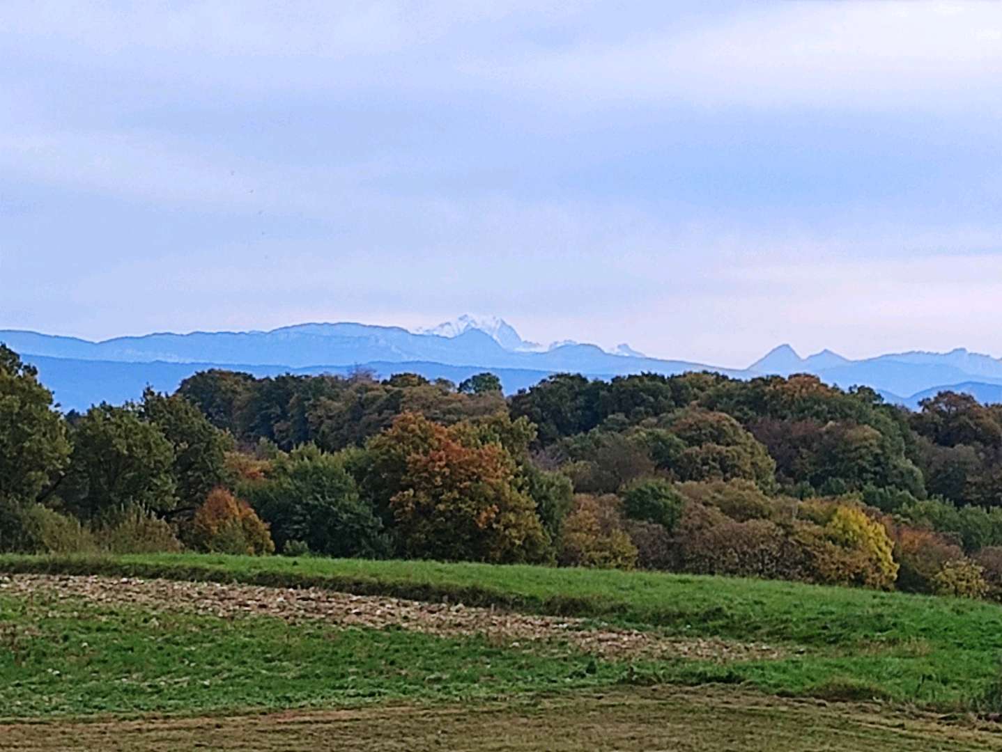
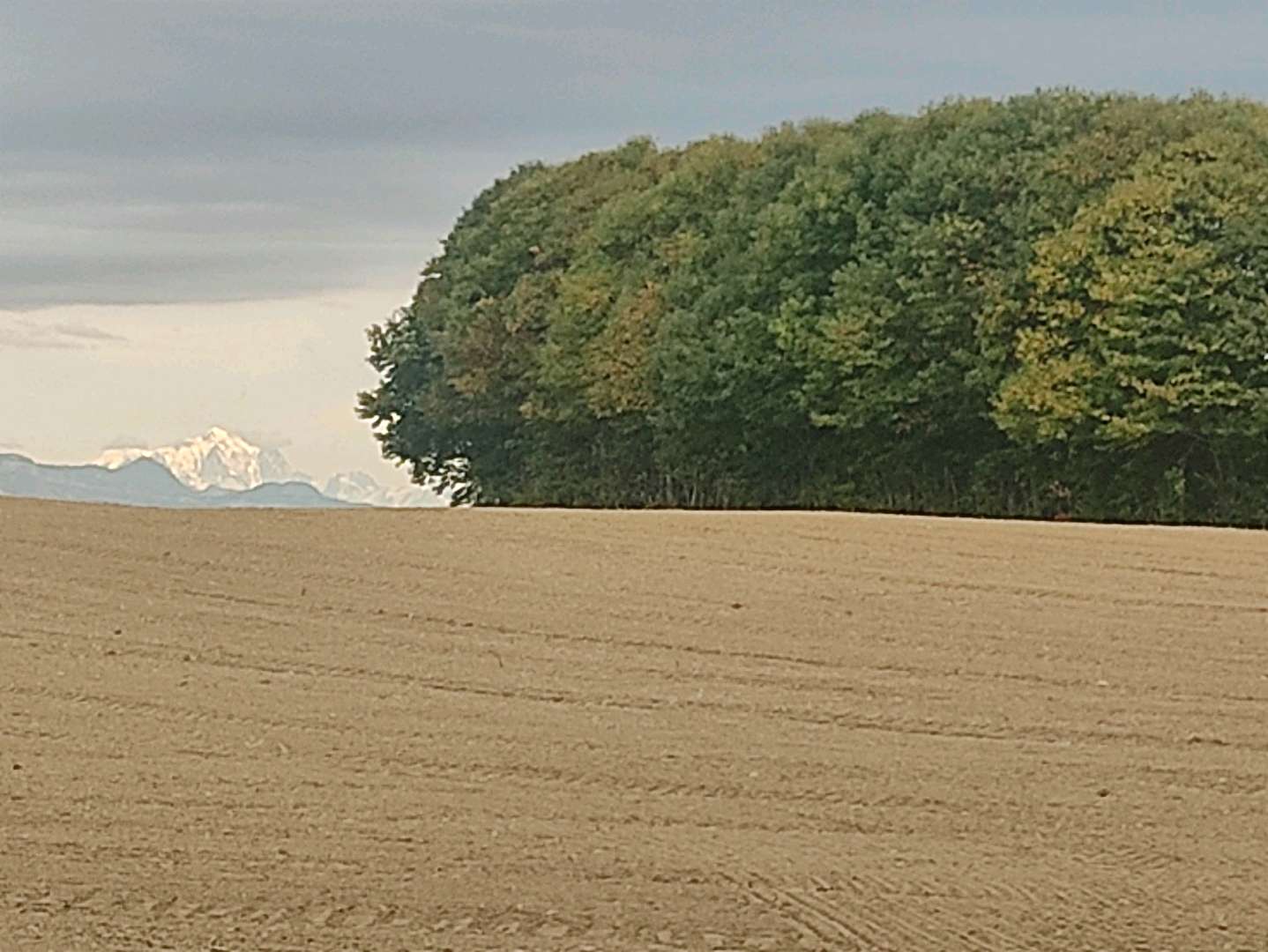
Turn right immediately to take a very pleasant path through the valley, lined with hedges and cow meadows. In front of you, you can see the village of Valencogne and, in the distance, the mountains of the Savoyard foreland.
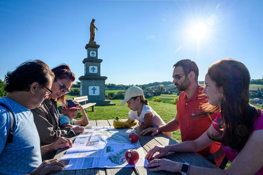
The path joins the départementale 17C road, which is not very busy and which you follow for 100m. Once on the other side of the road, the path climbs steeply for 350m. You return to Valencogne via the stadium, then climb one last hill towards the curious statue at the top. It is the Madonna of Notre-Dame des Vignes. Enjoy the panoramic view of the Bugey peaks on your left and the church of Valencogne on your right. This is a very pleasant spot for a picnic (there is a table in the sun). Finally, continue along the path and then the road back to the village.Marking : From the Valencogne parking lot, follow the yellow markers and the following crossroads: VALENCOGNE (start) > Chemin du lavoir > Le Gréhaut > Sourilloud > Lambert > Côte Simandre > Chemin de la vie > Les routes > Croix du Jubilé > Le Brocard > Chemin du lavoir > VALENCOGNE (finish)Equipments : Car park, Public WC, Admission fee : Free access.Opening : All year round daily.
VALENCOGNE (start) > Chemin du lavoir > Le Gréhaut > Sourilloud > Lambert > Côte Simandre > Chemin de la vie > Les routes > Croix du Jubilé > Le Brocard > Chemin du lavoir > VALENCOGNE (finish)
From the church in Valencogne, follow in the footsteps of the Pilgrim's Way to Santiago de Compostela. Note the small statue at the ‘Chemin du Lavoir’ signpost. The path quickly climbs to the heights until ‘Gréhaut’. The route then has a little elevation gain and offers many woodland sections as far as ‘Côte Simandre’. After a nice descent, you reach the hamlet of Brézin.
Turn right immediately to take a very pleasant path through the valley, lined with hedges and cow meadows. In front of you, you can see the village of Valencogne and, in the distance, the mountains of the Savoyard foreland.
The path joins the départementale 17C road, which is not very busy and which you follow for 100m. Once on the other side of the road, the path climbs steeply for 350m. You return to Valencogne via the stadium, then climb one last hill towards the curious statue at the top. It is the Madonna of Notre-Dame des Vignes. Enjoy the panoramic view of the Bugey peaks on your left and the church of Valencogne on your right. This is a very pleasant spot for a picnic (there is a table in the sun). Finally, continue along the path and then the road back to the village.Marking : From the Valencogne parking lot, follow the yellow markers and the following crossroads: VALENCOGNE (start) > Chemin du lavoir > Le Gréhaut > Sourilloud > Lambert > Côte Simandre > Chemin de la vie > Les routes > Croix du Jubilé > Le Brocard > Chemin du lavoir > VALENCOGNE (finish)Equipments : Car park, Public WC, Admission fee : Free access.Opening : All year round daily.
Area : Vals du Dauphiné
Report a problem
Website Features of the application :
- Location and orientation on detailed maps thanks to the GPS of your smartphone
- Description of routes and points of interest on the route
- Photo gallery by route
- Detailed elevation profile
- Route tracking alert to warn you if you stray from the route
- Send predefined messages by SMS to your contacts
- Emergency module: trigger a call or send an emergency SMS in case of problem
- Agenda: access to events organized in the department
- News: find in the application the latest news on the web portal
- Adding achievements
- Add reports in case of problems encountered on the routes
- Share on social networks
Soso1
The 2025/10/19
En savoir plus
Ajouter votre chrono et partager vos sensations
Services nearby

Lake Paladru Archeological Museum
Villages du lac de Paladru

Espace Naturel Sensible des Marais de la Véronnière et du Courbon
Villages du lac de Paladru
Pégoud Museum
Montferrat
Clog museum
Val-de-Virieu

Relais Cyné de Montferrat
Montferrat


Information updated on 2025-10-23 by Office de Tourisme des Vals du Dauphiné


Follow us on
the digital trails
the digital trails


![]()
The Isère Outdoor application was created
by the Département de l'Isère
Infos & contact
Conseil départemental de l'Isère
7 rue Fantin Latour
CS 41096
38 022 Grenoble cedex 1
Tel. 04 76 00 38 38
 Isère Outdoor - Parcours - Between valleys and countryside
Hello, world! This is a toast message.
Isère Outdoor - Parcours - Between valleys and countryside
Hello, world! This is a toast message.
Isère Outdoor - Parcours - Between valleys and countryside
Hello, world! This is a toast message.


OK
Annuler