Les hameaux de Chichilianne
Add to my favorites

Caution! Zone of vigilance near the route
Pre Peyret - du 15/06/2026 au 15/10/2026 Upcoming
Grande Cabane - du 15/06/2026 au 15/10/2026 Upcoming
Aigle royal - du 01/01/2026 au 31/08/2026 In progress
Chamousset - du 15/06/2026 au 31/10/2026 Upcoming
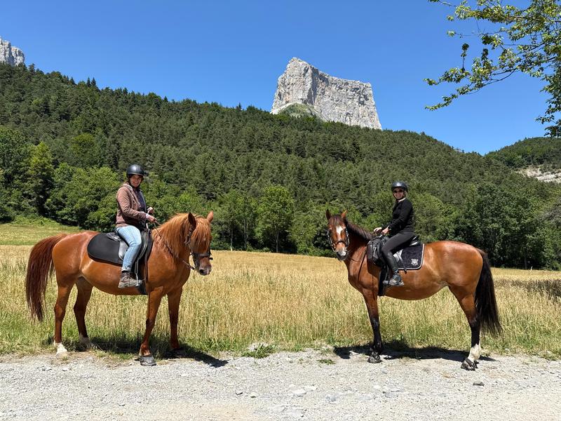
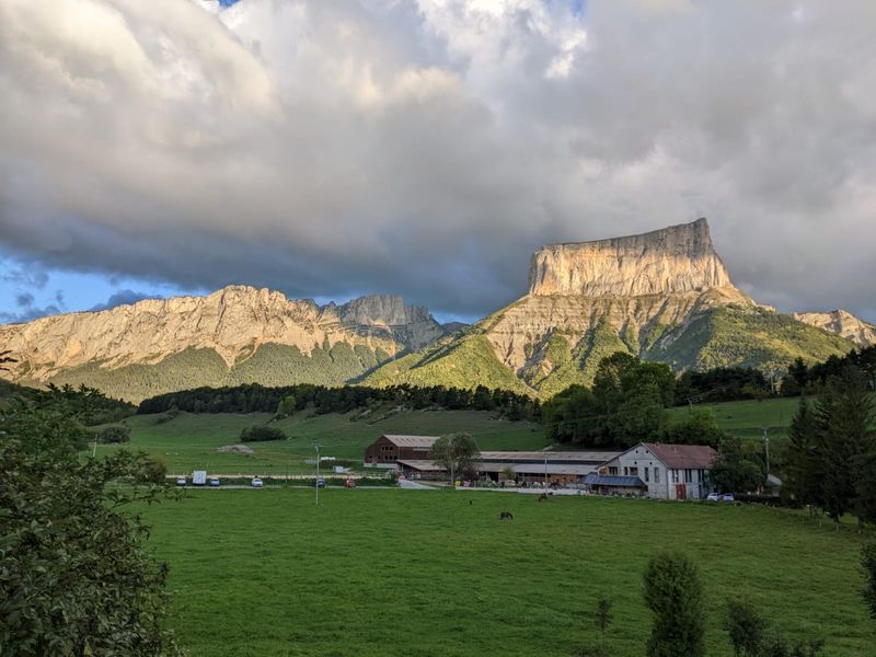
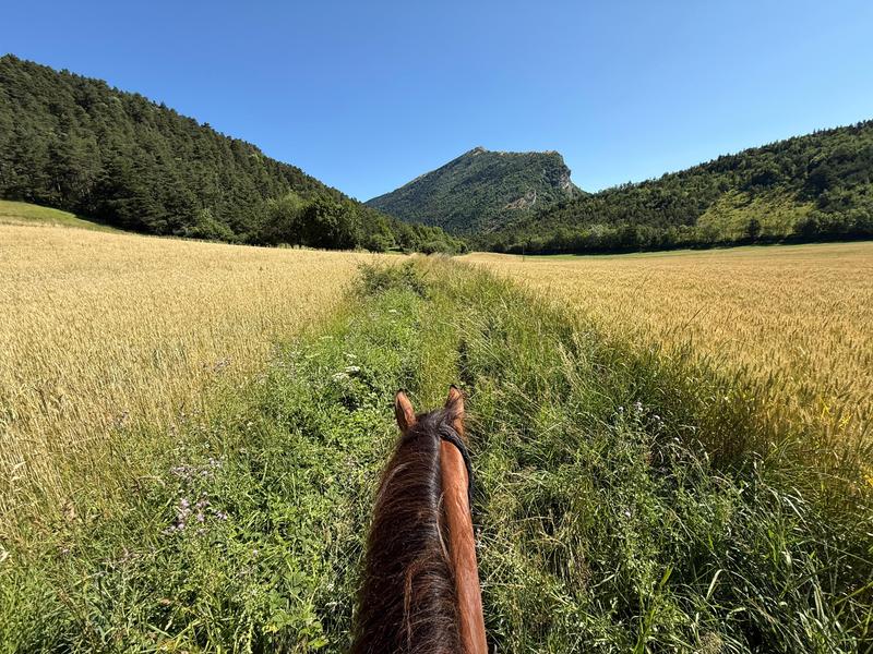
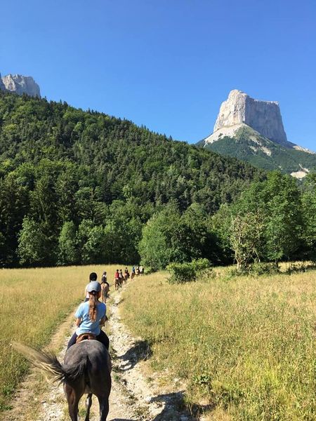
Une belle journée à la découverte des hameaux de Chichilianne, sous l'imposant Mont Aiguille.
The characteristics of the route.

Chichilianne (38)
- Distance 22.98 km
- Elevation gain 920 m
- Elevation lost 920 m
- Min. elevation 948 m
- Max. elevation. 1246 m
- Duration (depending on pace) 6h
- Marking Yes
Features of the application :
- Location and orientation on detailed maps thanks to the GPS of your smartphone
- Description of routes and points of interest on the route
- Photo gallery by route
- Detailed elevation profile
- Route tracking alert to warn you if you stray from the route
- Send predefined messages by SMS to your contacts
- Emergency module: trigger a call or send an emergency SMS in case of problem
- Agenda: access to events organized in the department
- News: find in the application the latest news on the web portal
- Adding achievements
- Add reports in case of problems encountered on the routes
- Share on social networks
Add your time and share your feelings
Services nearby

Point d'information Chichilianne
Chichilianne

Foyer nordique de Chichilianne
Chichilianne
Foyer nordique de Gresse-en-Vercors
Gresse-en-Vercors
Bureau d'Informations Touristiques de Gresse en Vercors - Office de Tourisme du Trièves
Gresse-en-Vercors

Espace Giono
Lalley


Follow us on
the digital trails
the digital trails


![]()
The Isère Outdoor application was created
by the Département de l'Isère
Infos & contact
Conseil départemental de l'Isère
7 rue Fantin Latour
CS 41096
38 022 Grenoble cedex 1
Tel. 04 76 00 38 38
 Isère Outdoor - Parcours - Les hameaux de Chichilianne
Hello, world! This is a toast message.
Isère Outdoor - Parcours - Les hameaux de Chichilianne
Hello, world! This is a toast message.
Isère Outdoor - Parcours - Les hameaux de Chichilianne
Hello, world! This is a toast message.


OK
Annuler