Boucle de Pipay [en cours de balisage]
Add to my favorites

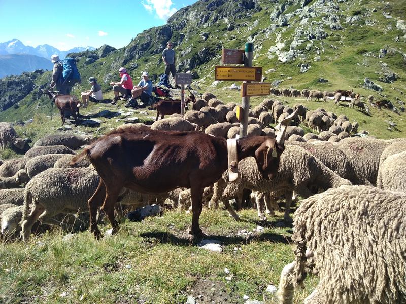
Au départ de Prapoutel vous rejoindrez la butte de Pipay puis le chalet des Oudis. Vous emprunterez le sentier au dessus de la retenue Collinaire puis prendrez la direction de Prapoutel par les Cortillets.
The characteristics of the route.
Les Adrets (38)
- Distance 11.18 km
- Elevation gain 550 m
- Elevation lost 550 m
- Min. elevation 1327 m
- Max. elevation. 1770 m
- Marking No
Admission fee : Free of charge.Opening : All year round daily.
Subject to favorable weather.
Area : Grésivaudan
Report a problem
Pdf file Features of the application :
- Location and orientation on detailed maps thanks to the GPS of your smartphone
- Description of routes and points of interest on the route
- Photo gallery by route
- Detailed elevation profile
- Route tracking alert to warn you if you stray from the route
- Send predefined messages by SMS to your contacts
- Emergency module: trigger a call or send an emergency SMS in case of problem
- Agenda: access to events organized in the department
- News: find in the application the latest news on the web portal
- Adding achievements
- Add reports in case of problems encountered on the routes
- Share on social networks
Add your time and share your feelings
Services nearby

Bureau d'Information Touristique de Prapoutel / Les 7 Laux - Office de Tourisme Belledonne Chartreuse
Les Sept Laux Prapoutel

Refuge le Habert d'Aiguebelle
Laval
Bureau d'Information Touristique du Pleynet / Les 7 Laux - Office de Tourisme Belledonne Chartreuse
Les Sept Laux Le Pleynet
Refuge des 7 Laux
Le Haut-Bréda

Ibex museum - Space York Mallory
Allemond


Information updated on 2025-06-13 by Office de Tourisme de Belledonne Chartreuse


Follow us on
the digital trails
the digital trails


![]()
The Isère Outdoor application was created
by the Département de l'Isère
Infos & contact
Conseil départemental de l'Isère
7 rue Fantin Latour
CS 41096
38 022 Grenoble cedex 1
Tel. 04 76 00 38 38
 Isère Outdoor - Parcours - Boucle de Pipay [en cours de balisage]
Hello, world! This is a toast message.
Isère Outdoor - Parcours - Boucle de Pipay [en cours de balisage]
Hello, world! This is a toast message.
Isère Outdoor - Parcours - Boucle de Pipay [en cours de balisage]
Hello, world! This is a toast message.


OK
Annuler