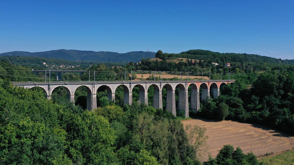
Walking trail: The valley of the Fure
Add to my favorites

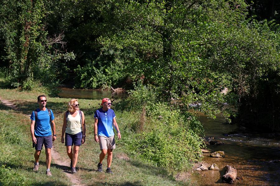
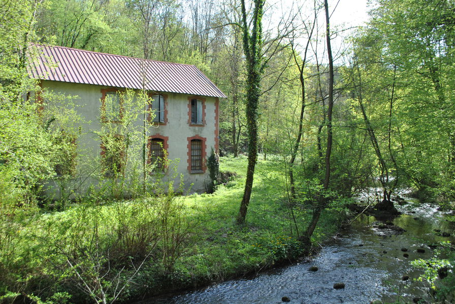
Et au milieu coule une rivière… la Fure, qui prend sa source dans le lac de Paladru pour se nicher au creux d’un vallon boisé.
Route labeled FFRandonnée

The characteristics of the route.

Rives (38)
- Distance 7.4 km
- Elevation gain 180 m
- Elevation lost 180 m
- Min. elevation 346 m
- Max. elevation. 415 m
- Duration (depending on pace) 2h
- Marking Yes
Equipments : Car park, Orientation board, Admission fee : Free access.Opening : All year round.
Area : Pays Voironnais
Report a problem
Website Pdf file Features of the application :
- Location and orientation on detailed maps thanks to the GPS of your smartphone
- Description of routes and points of interest on the route
- Photo gallery by route
- Detailed elevation profile
- Route tracking alert to warn you if you stray from the route
- Send predefined messages by SMS to your contacts
- Emergency module: trigger a call or send an emergency SMS in case of problem
- Agenda: access to events organized in the department
- News: find in the application the latest news on the web portal
- Adding achievements
- Add reports in case of problems encountered on the routes
- Share on social networks
Add your time and share your feelings
Services nearby

Espace Naturel Sensible de l'Etang de Côte-Manin
Saint-Blaise-du-Buis

Tourisme en Bièvre Est
Colombe

Relais Cyné de Colombe
Colombe
Pays Voironnais Tourist Office, Voiron information office
Voiron

Mainssieux Museum
Voiron


Information updated on 2025-04-22 by Office de Tourisme du Pays Voironnais


Follow us on
the digital trails
the digital trails


![]()
The Isère Outdoor application was created
by the Département de l'Isère
Infos & contact
Conseil départemental de l'Isère
7 rue Fantin Latour
CS 41096
38 022 Grenoble cedex 1
Tel. 04 76 00 38 38
 Isère Outdoor - Parcours - Walking trail: The valley of the Fure
Hello, world! This is a toast message.
Isère Outdoor - Parcours - Walking trail: The valley of the Fure
Hello, world! This is a toast message.
Isère Outdoor - Parcours - Walking trail: The valley of the Fure
Hello, world! This is a toast message.


OK
Annuler