From the Château de Serrières to the Communaux de Trept : a journey back in time along the river
Add to my favorites

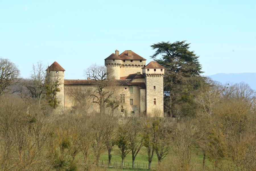
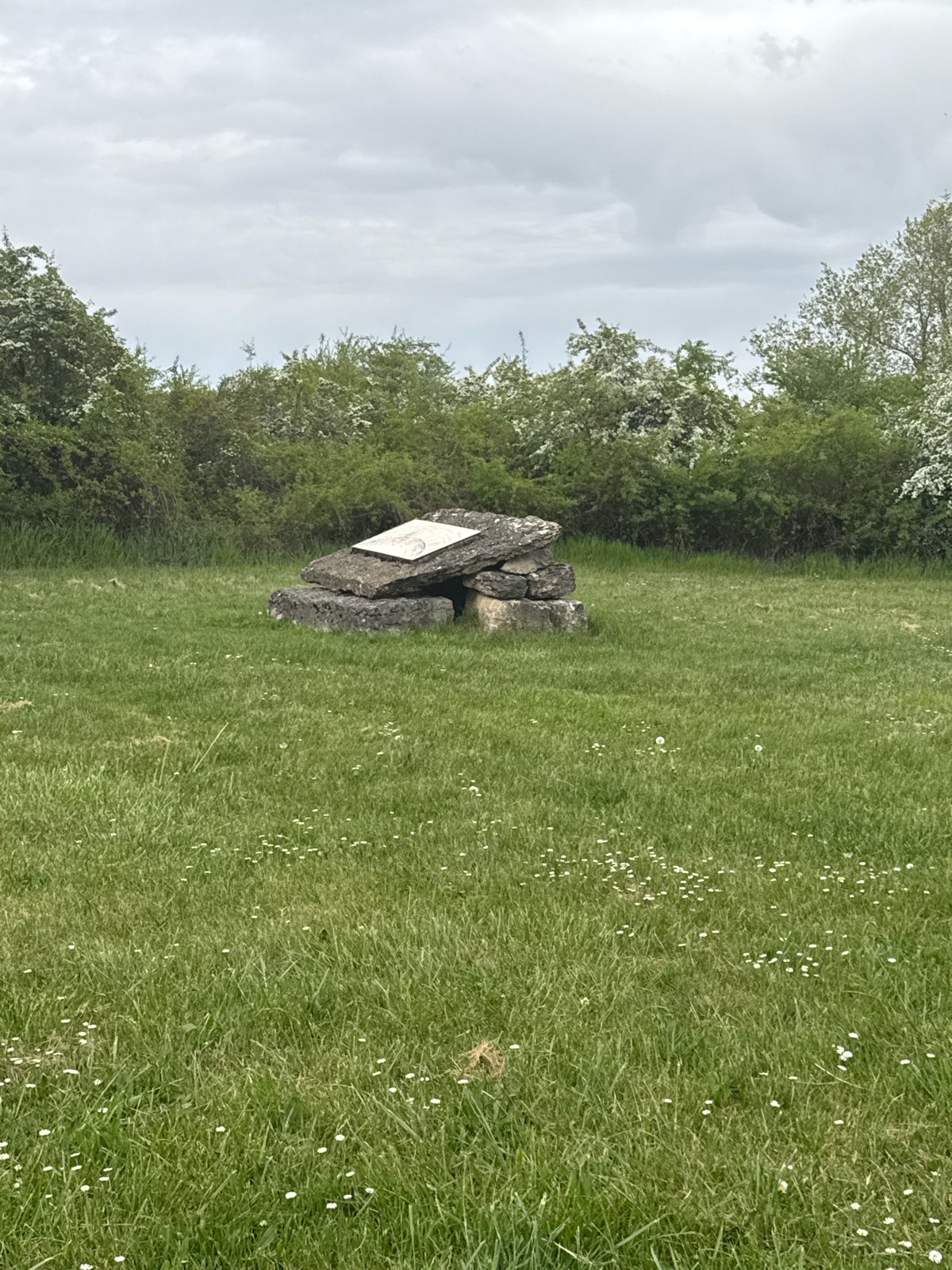
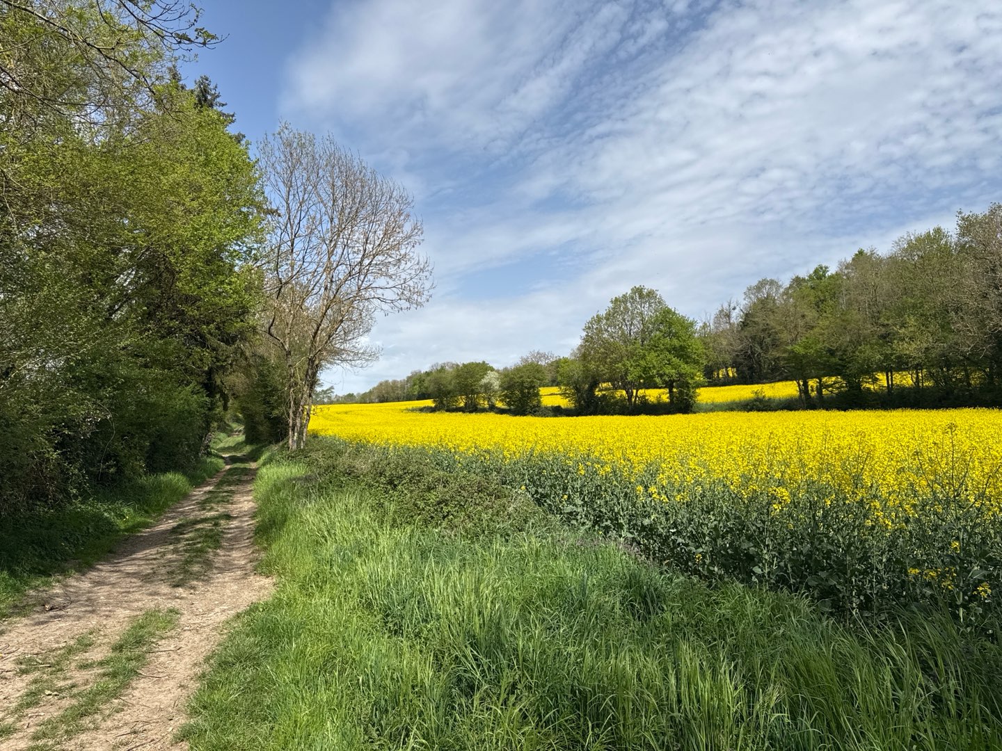
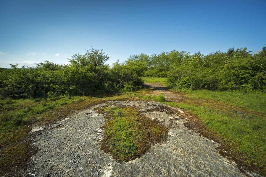
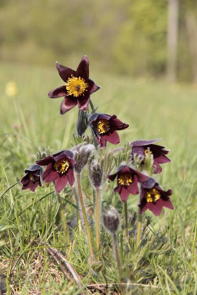
Along the paths, most of which are shaded, you can see castles, chapels, mills and wash-houses, as well as ponds and areas of dry grassland at Les Communaux de Trept, an ENS site where more than 500 animal species have been recorded.
The characteristics of the route.

Trept (38)
- Distance 13.7 km
- Elevation gain 230 m
- Elevation lost 230 m
- Min. elevation 236 m
- Max. elevation. 355 m
- Marking Yes
Marking : Yellow paint markingsGood plans : A picnic break is recommended on the last part of the walk at Les Communaux de Trept. There is a shaded area.Admission fee : Free access.Opening : All year round.
Subject to favorable weather.Step by step description : 1- At the starting post of the hike, go towards the church on the footpath, passing by the street "rue des Carriers".
2- At the post "Trept l'église", follow the direction Siccieu which goes round the church on the left by a small garden. After the gate, cross the D54 and take the opposite street. Continue until you reach the end of a cul-de-sac which you leave via a narrow passage. Then turn left. The road becomes a track, then a nature trail.
3- At the "La Sorbière" signpost, turn right towards Siccieu. The route joins a small road at a cross and an old bread oven. Turn left. The road, first dominated by the chapel Saint-Didier-de-Cozance located on a height, then skirts the pond of Fenières and continues by a wide track up to the post"Etang de Fenières".
4- Turn left, still towards Siccieu, past the"Etang Bouvet" post. At the "La Grande Taverne" sign, turn left onto a wide track towards "Dizimieu". At a large agricultural shed, turn right to reach the "Terre Villain" sign.
5- Head towards Trept. After 500 m on a wide track, the route turns slightly right onto a narrower track as far as the "La Gagne" sign.
6- Go straight ahead after crossing the road, direction Vénérieu, pass near the ‘Pelouses sèches’ landscaped area.
7- Turn left towards Trept. Cross the Espace Naturel Sensible des Communaux de Trept before going down to the D 517 at the "Bange" signpost.
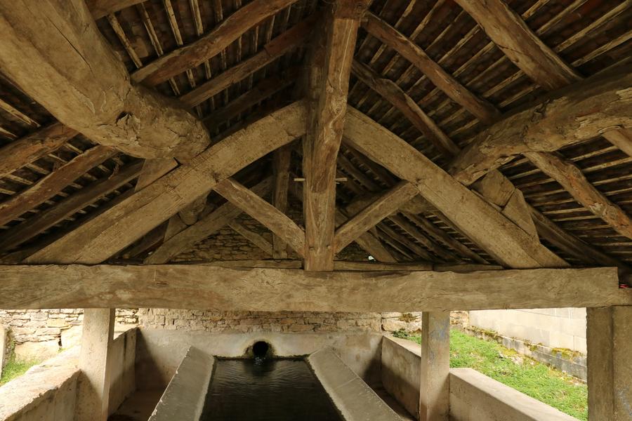
8- Cross the road and take the street opposite as far as the Lavoir du Truffet. At the nearby crossroads, turn right. The route crosses the voie verte and continues around the village to a crossroads dominated by a cross. Turn left and follow the road up towards Trept church.
Area : Balcons du Dauphiné
Report a problem
Website TOPO: du château de Serrières aux Communaux de Trept Features of the application :
- Location and orientation on detailed maps thanks to the GPS of your smartphone
- Description of routes and points of interest on the route
- Photo gallery by route
- Detailed elevation profile
- Route tracking alert to warn you if you stray from the route
- Send predefined messages by SMS to your contacts
- Emergency module: trigger a call or send an emergency SMS in case of problem
- Agenda: access to events organized in the department
- News: find in the application the latest news on the web portal
- Adding achievements
- Add reports in case of problems encountered on the routes
- Share on social networks
Vic69
The 2026/04/11
En savoir plus
Vic69
finished in 02:45:00
The 2026/04/11
En savoir plus
Ajouter votre chrono et partager vos sensations
2026/04/11 02:45:00
Vic69
Vic69
Balade très agréable même à vélo.
Services nearby

Crémieu - Balcons du Dauphine Tourist Information Office
Crémieu

Salette Lake
Courtenay
Saint-Chef - Balcons du Dauphine Tourist Information Office
Saint-Chef

Saint-Chef Museum
Saint-Chef
Mineralogica - The mineral museum
Villemoirieu


Information updated on 2025-03-11 by Office du Tourisme Les Balcons du Dauphiné


Follow us on
the digital trails
the digital trails


![]()
The Isère Outdoor application was created
by the Département de l'Isère
Infos & contact
Conseil départemental de l'Isère
7 rue Fantin Latour
CS 41096
38 022 Grenoble cedex 1
Tel. 04 76 00 38 38
 Isère Outdoor - Parcours - From the Château de Serrières to the Communaux de Trept : a journey back in time along the river
Hello, world! This is a toast message.
Isère Outdoor - Parcours - From the Château de Serrières to the Communaux de Trept : a journey back in time along the river
Hello, world! This is a toast message.
Isère Outdoor - Parcours - From the Château de Serrières to the Communaux de Trept : a journey back in time along the river
Hello, world! This is a toast message.


OK
Annuler