From the red stones of Panossas to the green panoramas of Isle-Crémieu
Add to my favorites

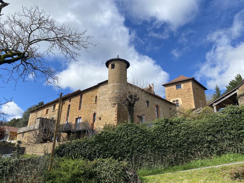
In the south-west of the Balcons du Dauphiné, between hills and ponds, Panossas stands out for its beautiful red hues, a phenomenon that can be explained by the rich iron content of the limestone, which is found in the various architectural features.
The characteristics of the route.

Panossas (38)
- Distance 9.9 km
- Elevation gain 220 m
- Elevation lost 220 m
- Min. elevation 233 m
- Max. elevation. 370 m
- Marking Yes
The village then gives way to a variety of landscapes, from undergrowth to panoramic views over the Isle-Crémieu, as you make your way along this hilly walking route.Marking : Yellow paint markingsGood plans : Interpretation trail at the Charamel sensitive natural area (to be discovered in addition to this walk) :
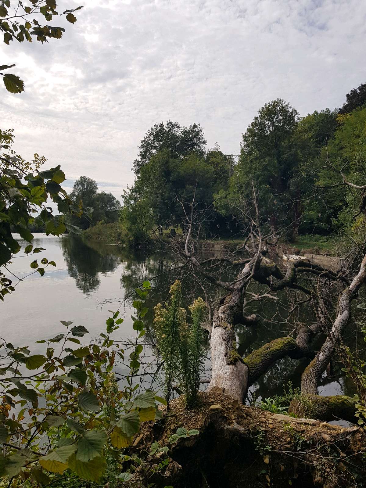
Labelled a Sensitive Natural Area since 2004, the Charamel peat bog
Charamel peat bog is a major wetland in the Isère department.
A 10.5 km interpretation trail takes you through this ecosystem
Marsa pond and its mill. This
rich reservoir of biodiversity is home to 300 species of vascular plants
vascular plants (which help to transport water, among other things) and 139 species of
of birds.
A detailed information booklet is available free of charge from
tourist information offices.Admission fee : Free access.Opening : All year round.
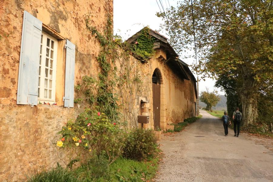
Subject to favorable weather.Step by step description : 1- From the car park, turn left and follow the D18. The route follows the GR® markings (white-red).
At the Jubilee Cross, continue straight ahead, leaving the return road on your right. Take the Chemin des Fuziers.
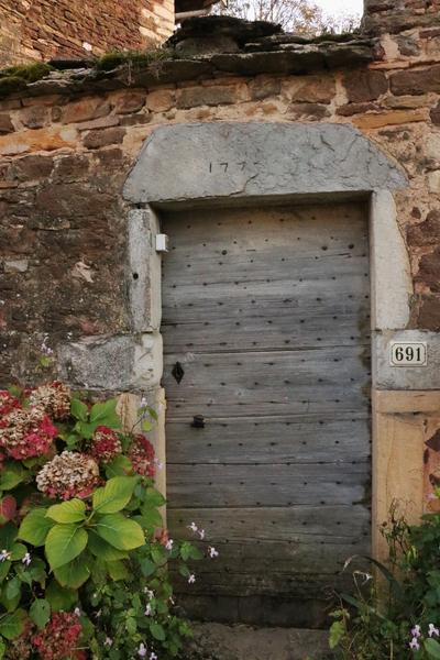
After passing the town hall, turn left at the wash-house. Go straight on along the Chemin de Coutieu, passing the Charmoncel spring.
Leave the dry grassland path. Continue along the road, then turn left down the Chemin d'Antouillet as far as the "Antouillet" sign.
2-Leave the GR® and continue straight downhill to the Chemin de Frontonas, then right onto the Chemin de Serre as far as the Sully lime tree.
Follow the wide track to the right that leads to the "Salette" signpost.
3-Fork right 3 towards Chozeau.
Follow the road to the left. At the crossroads, follow the road to the left for 600 m, then turn right onto the dirt track. Keep to the right.
At the "Mont Morel" post, take the path on the right towards the Quincieu cross.
Reach the track and keep right as far as the pond. Follow the road past the Quincieu farm to the Quincieu cross.
From here, go right along the pond, turn left and 125 m further on take the path that climbs steeply through the woods.
4- At the top, emerge into the field, following the edge to the left. At the end of the field follow the
left as far as the village.
5- Return to the car park on the left. Once you reach the Jubilee Cross, follow the same route as the outward journey.
Area : Balcons du Dauphiné
Report a problem
Website TOPO Features of the application :
- Location and orientation on detailed maps thanks to the GPS of your smartphone
- Description of routes and points of interest on the route
- Photo gallery by route
- Detailed elevation profile
- Route tracking alert to warn you if you stray from the route
- Send predefined messages by SMS to your contacts
- Emergency module: trigger a call or send an emergency SMS in case of problem
- Agenda: access to events organized in the department
- News: find in the application the latest news on the web portal
- Adding achievements
- Add reports in case of problems encountered on the routes
- Share on social networks
Tilius
finished in 02:14:00
The 2025/09/28
En savoir plus
Ajouter votre chrono et partager vos sensations
Services nearby

Mineralogica - The mineral museum
Villemoirieu

Marais de la Besseye Sensitive Natural Area
Villemoirieu
Espace naturel sensible de l'étang de Fallavier et Vallon du Layet
Saint-Quentin-Fallavier
Musée de La Vie Rurale
Saint-Quentin-Fallavier

Crémieu - Balcons du Dauphine Tourist Information Office
Crémieu


Information updated on 2025-03-12 by Office du Tourisme Les Balcons du Dauphiné


Follow us on
the digital trails
the digital trails


![]()
The Isère Outdoor application was created
by the Département de l'Isère
Infos & contact
Conseil départemental de l'Isère
7 rue Fantin Latour
CS 41096
38 022 Grenoble cedex 1
Tel. 04 76 00 38 38
 Isère Outdoor - Parcours - From the red stones of Panossas to the green panoramas of Isle-Crémieu
Hello, world! This is a toast message.
Isère Outdoor - Parcours - From the red stones of Panossas to the green panoramas of Isle-Crémieu
Hello, world! This is a toast message.
Isère Outdoor - Parcours - From the red stones of Panossas to the green panoramas of Isle-Crémieu
Hello, world! This is a toast message.


OK
Annuler