Lac de Belledonne (via the Chazeau hut) - Hiking from Allemond
Add to my favorites

Caution! Zone of vigilance near the route
Les Chozeaux - du 30/06/2026 au 30/09/2026 In progress
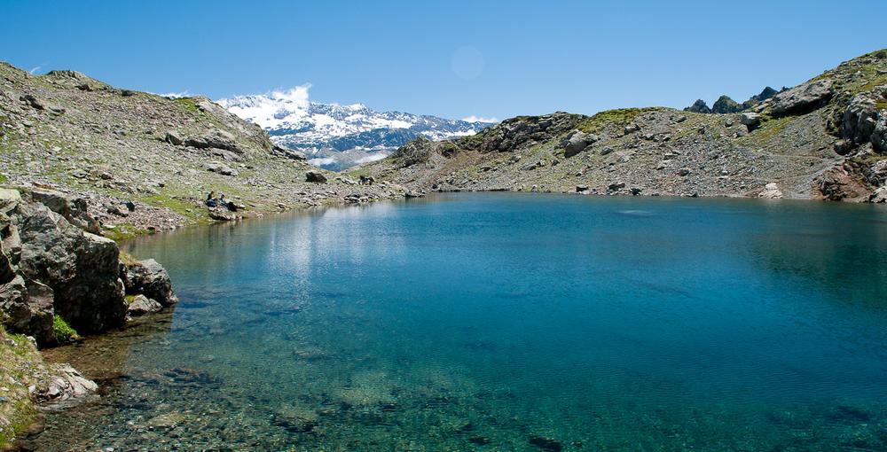
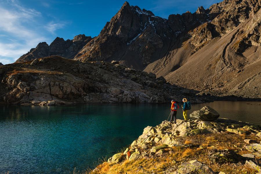
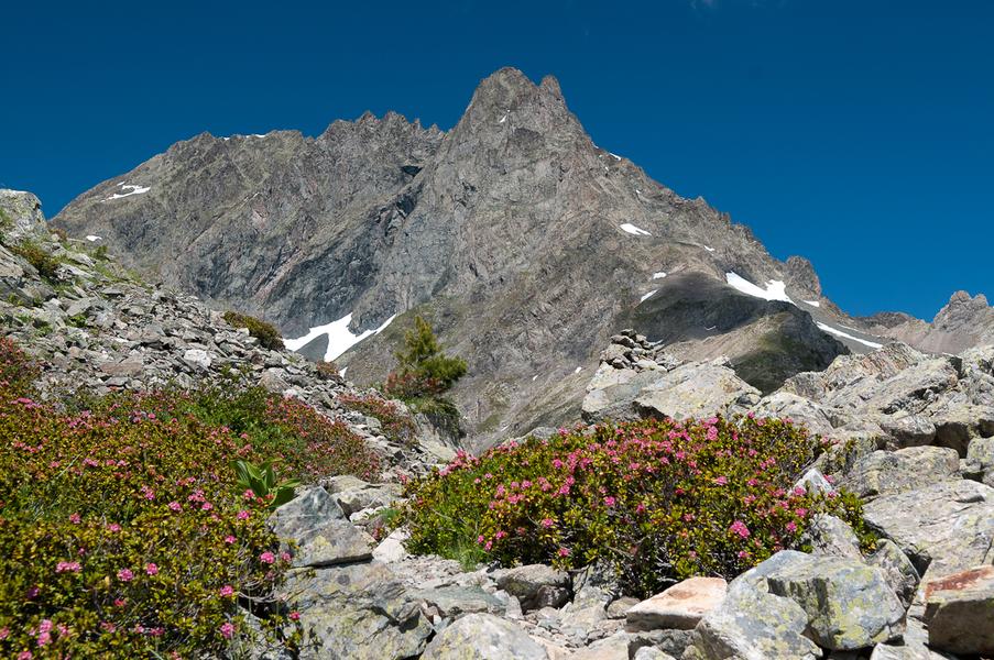
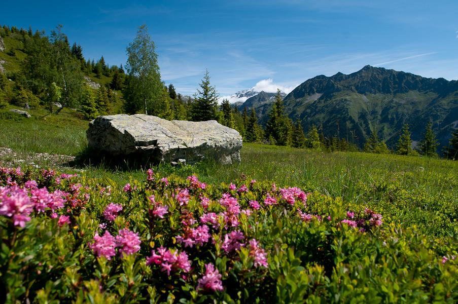
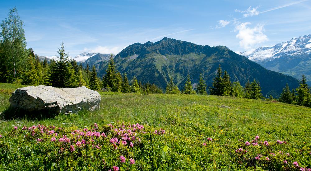
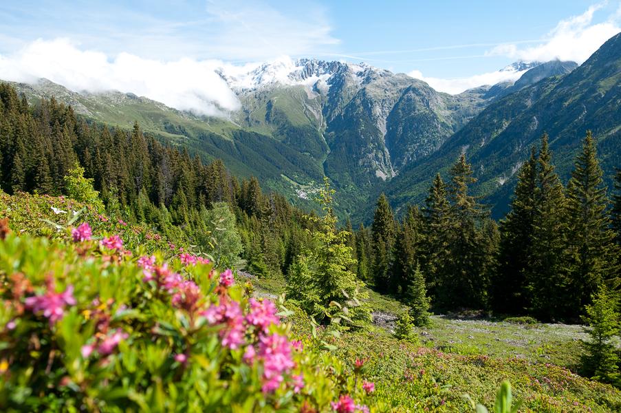
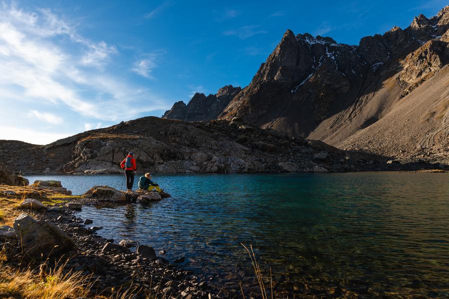
A very pretty hike through different levels of vegetation: the forest, before a stop at the Chazeau hut, then the mountain pastures and finally the scree in a purely mineral atmosphere. The lake site is magnificent, nestled beneath the peaks.
The characteristics of the route.

Allemond (38)
- Distance 13.6 km
- Elevation gain 1180 m
- Elevation lost 1180 m
- Min. elevation 1284 m
- Max. elevation. 2179 m
- Duration (depending on pace) 4h
- Marking Yes
The Lac de Belledonne itinerary is one of the must-do hikes in the Eau d'Olle valley. The atmosphere is wild and the scenery magnificent, with the Belledonne range dominating the trail, including the Croix de Belledonne, and facing the Grandes Rousses and Rissiou massifs.Marking : Yellow/Green.
White/Red for the GR®549.
Yellow for the lake.Good plans : It is sometimes possible to spot chamois in the scree area during the summer.Admission fee : Free access.Opening : From 13/06 to 15/10 daily.
Subject to favorable snow and weather conditions.Step by step description : From Allemond, head toward the church, then take Route de la Traverse to the Coteyssard parking lot.
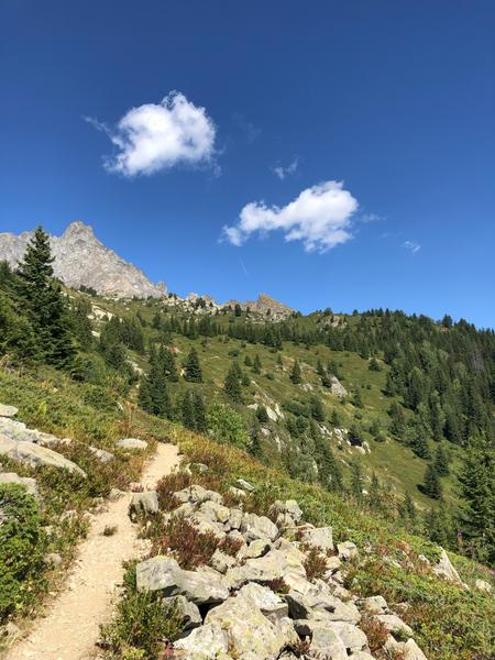
The trail starts at the bend above the track; further up, it crosses the Coteyssard stream and continues through the forest of the same name to reach the Chazeau hut (unmanned). This hut provides shelter for transhumant shepherds during the summer.
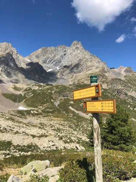
After the hut, the trail crosses alpine pastures and blueberry thickets before climbing up to the Pas du Bessey via a moraine.
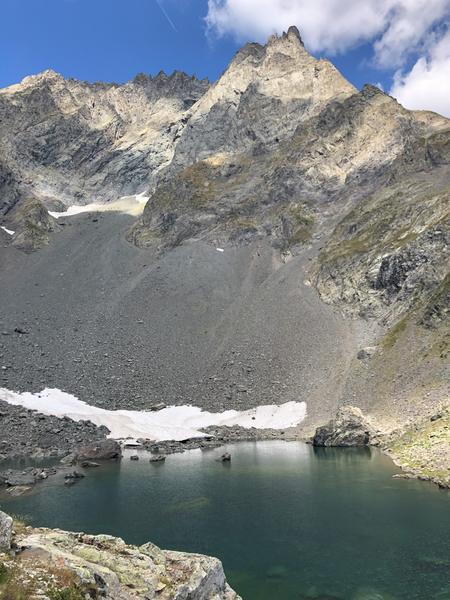
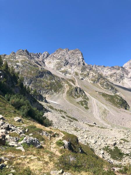
The trail then descends slightly and crosses a vast scree field—evidence of glacial activity—below the Grand Charnier.
Once you reach the trail junction, turn left for the final ascent to the lake. You’ll pass two small lakes and a waterfall flowing down from the lake.
The lake is nestled on this natural promontory.Warning : As this route is potentially subject to severe damage due to major weather events and its viability may be uncertain, please enquire before embarking on it.
Area : Oisans
Report a problem
Website Features of the application :
- Location and orientation on detailed maps thanks to the GPS of your smartphone
- Description of routes and points of interest on the route
- Photo gallery by route
- Detailed elevation profile
- Route tracking alert to warn you if you stray from the route
- Send predefined messages by SMS to your contacts
- Emergency module: trigger a call or send an emergency SMS in case of problem
- Agenda: access to events organized in the department
- News: find in the application the latest news on the web portal
- Adding achievements
- Add reports in case of problems encountered on the routes
- Share on social networks
Add your time and share your feelings
Services nearby

Tourist office of Allemond
Allemond

EDF Hydrélec museum
Vaujany

Cross-country skiing centre
Allemond
Oz 3300 Tourist Office
Oz-en-Oisans
Vaujany Museum
Vaujany




Follow us on
the digital trails
the digital trails





The Isère Outdoor application was created
by the Département de l'Isère
Infos & contact
Conseil départemental de l'Isère
7 rue Fantin Latour
CS 41096
38 022 Grenoble cedex 1
Tel. 04 76 00 38 38
 Isère Outdoor - Parcours - Lac de Belledonne (via the Chazeau hut) - Hiking from Allemond
Hello, world! This is a toast message.
Isère Outdoor - Parcours - Lac de Belledonne (via the Chazeau hut) - Hiking from Allemond
Hello, world! This is a toast message.
Isère Outdoor - Parcours - Lac de Belledonne (via the Chazeau hut) - Hiking from Allemond
Hello, world! This is a toast message.


OK
Annuler