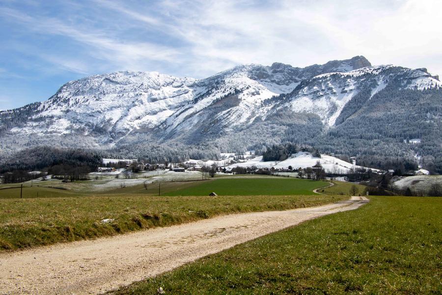
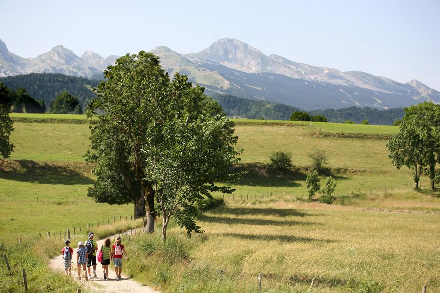
La balade de hameau en hameau
Add to my favorites

You'll be flat, but you won't be looking at your feet.
The characteristics of the route.

Villard-de-Lans (38)
- Distance 8.8 km
- Elevation gain 160 m
- Elevation lost 160 m
- Min. elevation 957 m
- Max. elevation. 1034 m
- Duration (depending on pace) 2h30
- Marking Yes
Equipments : Car park, Free car park, Admission fee : Free access.Opening : All year round.
Area : Massif du Vercors
Report a problem
Website La balade de hameau en hameau Features of the application :
- Location and orientation on detailed maps thanks to the GPS of your smartphone
- Description of routes and points of interest on the route
- Photo gallery by route
- Detailed elevation profile
- Route tracking alert to warn you if you stray from the route
- Send predefined messages by SMS to your contacts
- Emergency module: trigger a call or send an emergency SMS in case of problem
- Agenda: access to events organized in the department
- News: find in the application the latest news on the web portal
- Adding achievements
- Add reports in case of problems encountered on the routes
- Share on social networks
yavouhou
The 2025/08/23
En savoir plus
Ajouter votre chrono et partager vos sensations
2025/08/23 yavouhou
Inadapté aux fortes chaleurs ! Parcours très majoritairement sans couvert végétal (donc sans ombre), nous avons dû couper au milieu du parcours pour rentrer prématurément avec notre bébé de 4 mois
2025/08/23 yavouhou
Inadapté aux fortes chaleurs ! Parcours très majoritairement sans couvert végétal (donc sans ombre), nous avons dû couper au milieu du parcours pour rentrer prématurément avec notre bébé de 4 mois
Services nearby

Office Municipal de Tourisme de Villard de Lans
Villard-de-Lans

Maison du Patrimoine
Villard-de-Lans

Auberge des Allières
Lans-en-Vercors

Foyer de ski de fond des Hauts Plateaux
Corrençon-en-Vercors
OTI Vercors - Bureau d'informations de Méaudre
Autrans-Méaudre en Vercors


Information updated on 2024-05-27 by Office Municipal de Tourisme de Villard-de-Lans


Follow us on
the digital trails
the digital trails


![]()
The Isère Outdoor application was created
by the Département de l'Isère
Infos & contact
Conseil départemental de l'Isère
7 rue Fantin Latour
CS 41096
38 022 Grenoble cedex 1
Tel. 04 76 00 38 38
 Isère Outdoor - Parcours - La balade de hameau en hameau
Hello, world! This is a toast message.
Isère Outdoor - Parcours - La balade de hameau en hameau
Hello, world! This is a toast message.
Isère Outdoor - Parcours - La balade de hameau en hameau
Hello, world! This is a toast message.


OK
Annuler