Anjou : la fontaine Sainte Catherine
Add to my favorites

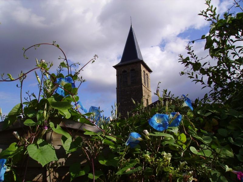
La balade vers la fontaine Sainte Catherine emprunte les pas des Romains, qui au IIIe siècle, appréciaient déjà les eaux de la source Saint Font, réputée pour ses vertus médicinales et curatives.
The characteristics of the route.

Anjou (38)
- Distance 13.2 km
- Elevation gain 410 m
- Elevation lost 410 m
- Min. elevation 235 m
- Max. elevation. 401 m
- Duration (depending on pace) 4h
- Marking No
Admission fee : Free access.Opening : All year round.
Area : Entre Bièvre et Rhône
Report a problem
Website Anjou : la fontaine Ste Catherine Features of the application :
- Location and orientation on detailed maps thanks to the GPS of your smartphone
- Description of routes and points of interest on the route
- Photo gallery by route
- Detailed elevation profile
- Route tracking alert to warn you if you stray from the route
- Send predefined messages by SMS to your contacts
- Emergency module: trigger a call or send an emergency SMS in case of problem
- Agenda: access to events organized in the department
- News: find in the application the latest news on the web portal
- Adding achievements
- Add reports in case of problems encountered on the routes
- Share on social networks
twinkie
finished in 02:10:00
The 2025/11/04
En savoir plus
Ajouter votre chrono et partager vos sensations
2025/11/04 02:10:00
twinkie
twinkie
2025/11/04 02:10:00
twinkie
twinkie
Services nearby

Castle of Jarcieu
Jarcieu

Maison du Patrimoine
Roussillon
Bureau d'Information Touristique de Saint Maurice l'Exil
Saint-Maurice-l'Exil

Espace naturel sensible de la Salette
Bellegarde-Poussieu
La Villa de Licinius
Clonas-sur-Varèze


Information updated on 2025-12-18 by Isère Attractivité


Follow us on
the digital trails
the digital trails


![]()
The Isère Outdoor application was created
by the Département de l'Isère
Infos & contact
Conseil départemental de l'Isère
7 rue Fantin Latour
CS 41096
38 022 Grenoble cedex 1
Tel. 04 76 00 38 38
 Isère Outdoor - Parcours - Anjou : la fontaine Sainte Catherine
Hello, world! This is a toast message.
Isère Outdoor - Parcours - Anjou : la fontaine Sainte Catherine
Hello, world! This is a toast message.
Isère Outdoor - Parcours - Anjou : la fontaine Sainte Catherine
Hello, world! This is a toast message.


OK
Annuler