Hike - La Muzelle waterfall
Add to my favorites

Caution! Zone of vigilance near the route
La Muzelle - du 20/06/2026 au 05/10/2026 In progress
Circaète Jean-le-Blanc - du 01/03/2026 au 30/09/2026 In progress
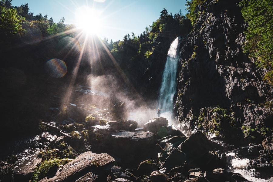
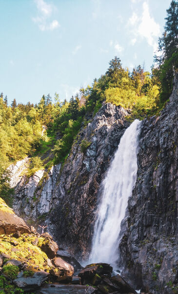
A short 40-minute walk to explore the Muzelle waterfall (1 hour 15 minutes round trip) starting from the bottom of the Venosc cable car.
The characteristics of the route.

Venosc (38)
- Distance 2.4 km
- Elevation gain 140 m
- Elevation lost 140 m
- Min. elevation 922 m
- Max. elevation. 1034 m
- Duration (depending on pace) 0h50
- Marking Yes
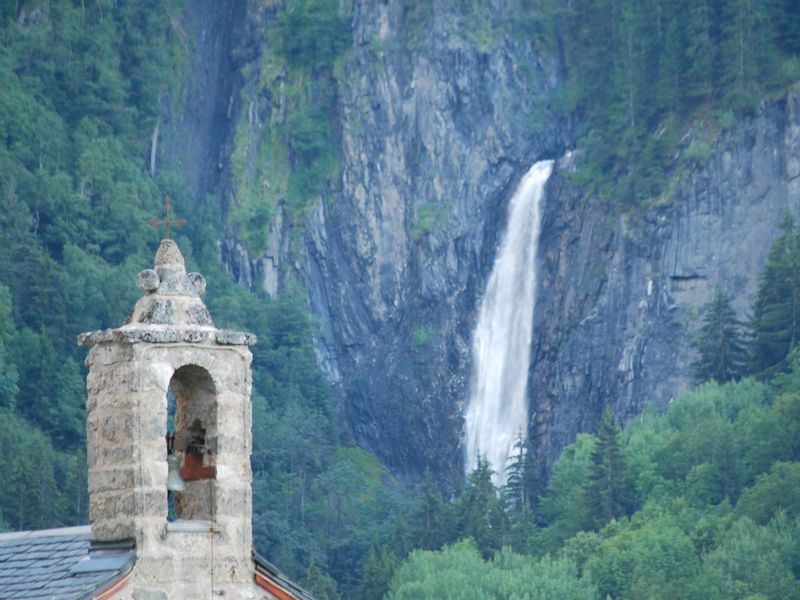
This waterfall comes from the torrent of "La Pisse" coming directly from the Muzelle glacierEquipments : Free car park, Car park, Public WC, Picnic area, Good plans : If you’d like to bring your little ones along, the Tourist Office has baby carriers available for hire.
IGN map 3336 ETR
Walking and hiking maps are on sale at the Tourist Office.Admission fee : Free of charge.Opening : free access all year depending to the weather conditions
Area : Oisans
Report a problem
Website Pdf file Features of the application :
- Location and orientation on detailed maps thanks to the GPS of your smartphone
- Description of routes and points of interest on the route
- Photo gallery by route
- Detailed elevation profile
- Route tracking alert to warn you if you stray from the route
- Send predefined messages by SMS to your contacts
- Emergency module: trigger a call or send an emergency SMS in case of problem
- Agenda: access to events organized in the department
- News: find in the application the latest news on the web portal
- Adding achievements
- Add reports in case of problems encountered on the routes
- Share on social networks
Add your time and share your feelings
Services nearby

Venosc Tourist Office - Les 2 Alpes
Venosc
2 ALPES TOURIST OFFICE
Les Deux Alpes

Exhibition area - Maison de la Montagne
Les Deux Alpes

La Muzelle Hut
Venosc
Chasal Lento Museum
Les Deux Alpes


Information updated on 2026-03-17 by Office de Tourisme des 2 Alpes


Follow us on
the digital trails
the digital trails


![]()
The Isère Outdoor application was created
by the Département de l'Isère
Infos & contact
Conseil départemental de l'Isère
7 rue Fantin Latour
CS 41096
38 022 Grenoble cedex 1
Tel. 04 76 00 38 38
 Isère Outdoor - Parcours - Hike - La Muzelle waterfall
Hello, world! This is a toast message.
Isère Outdoor - Parcours - Hike - La Muzelle waterfall
Hello, world! This is a toast message.
Isère Outdoor - Parcours - Hike - La Muzelle waterfall
Hello, world! This is a toast message.


OK
Annuler