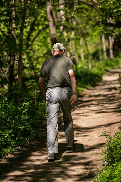
Randonnée pédestre entre nature et histoire
Add to my favorites

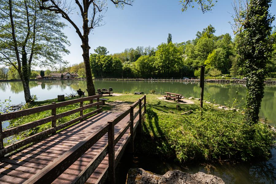
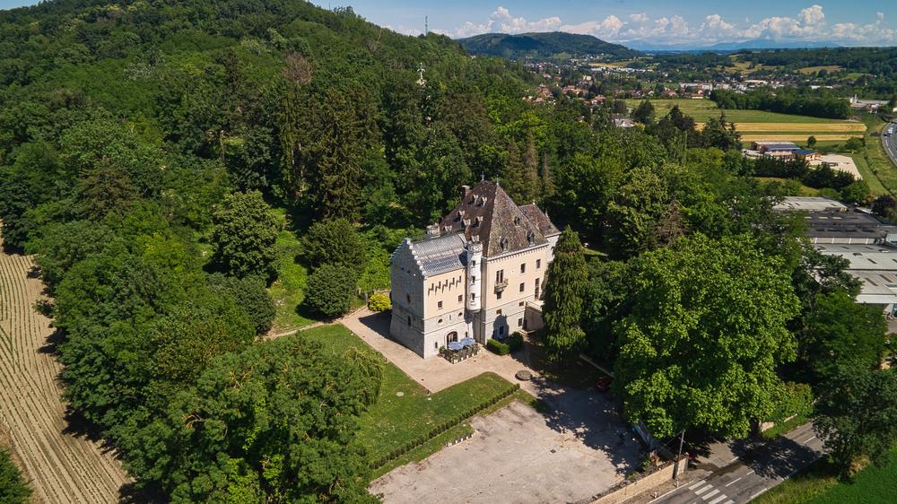
Dans un environnement verdoyant, le promeneur croise les châteaux de Thézieu, Petit Mont et Rosière.
The characteristics of the route.

Ruy-Montceau (38)
- Distance 7.4 km
- Elevation gain 200 m
- Elevation lost 200 m
- Min. elevation 261 m
- Max. elevation. 380 m
- Duration (depending on pace) 2h45
- Marking Yes
Equipments : Car park, Admission fee : Free access.Opening : All year round.
Area : Porte de l'Isère
Report a problem
Website Pdf file Features of the application :
- Location and orientation on detailed maps thanks to the GPS of your smartphone
- Description of routes and points of interest on the route
- Photo gallery by route
- Detailed elevation profile
- Route tracking alert to warn you if you stray from the route
- Send predefined messages by SMS to your contacts
- Emergency module: trigger a call or send an emergency SMS in case of problem
- Agenda: access to events organized in the department
- News: find in the application the latest news on the web portal
- Adding achievements
- Add reports in case of problems encountered on the routes
- Share on social networks
Gal38110
finished in 01:46:00
The 2025/02/27
En savoir plus
Ajouter votre chrono et partager vos sensations
Services nearby

Musée de Bourgoin-Jallieu
Bourgoin-Jallieu

Office de Tourisme CAPI Porte de l'Isère
Bourgoin-Jallieu
Saint-Chef - Balcons du Dauphine Tourist Information Office
Saint-Chef
Saint-Chef Museum
Saint-Chef
Crémieu - Balcons du Dauphine Tourist Information Office
Crémieu


Information updated on 2025-01-24 by Office de Tourisme CAPI - Porte de l'Isère


Follow us on
the digital trails
the digital trails


![]()
The Isère Outdoor application was created
by the Département de l'Isère
Infos & contact
Conseil départemental de l'Isère
7 rue Fantin Latour
CS 41096
38 022 Grenoble cedex 1
Tel. 04 76 00 38 38
 Isère Outdoor - Parcours - Randonnée pédestre entre nature et histoire
Hello, world! This is a toast message.
Isère Outdoor - Parcours - Randonnée pédestre entre nature et histoire
Hello, world! This is a toast message.
Isère Outdoor - Parcours - Randonnée pédestre entre nature et histoire
Hello, world! This is a toast message.


OK
Annuler