Chamrousse 1750 - Arselle plateau via Bachat
Add to my favorites

Departure: Chamrousse 1750 - Tourist Office.
In high season, take the free shuttle or walk the same way back.
The characteristics of the route.

Chamrousse (38)
- Distance 1.6 km
- Elevation gain 10 m
- Elevation lost 90 m
- Min. elevation 1635 m
- Max. elevation. 1718 m
- Duration (depending on pace) 0h40
- Marking Yes
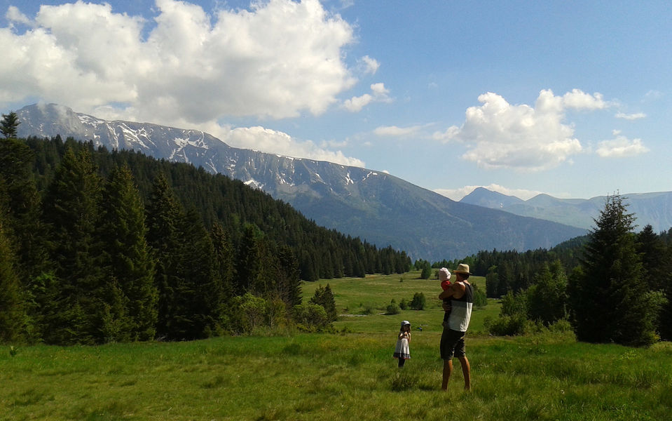
A relaxing walk through the woods, where you can discover a mixed forest (spruce, fir, willow, alder, mountain ash, maple and birch). You can also easily reach the Villages du Bachat in Chamrousse 1700.Marking : Yellow and green markings (PR)Equipments : Parking nearby, Public WC, Picnic area, Delicate passages : Narrow path at startupAdmission fee : Free access.Opening : All year round.
Area : Grésivaudan
Report a problem
Website Chamrousse 1750 - Chamrousse 1600 Features of the application :
- Location and orientation on detailed maps thanks to the GPS of your smartphone
- Description of routes and points of interest on the route
- Photo gallery by route
- Detailed elevation profile
- Route tracking alert to warn you if you stray from the route
- Send predefined messages by SMS to your contacts
- Emergency module: trigger a call or send an emergency SMS in case of problem
- Agenda: access to events organized in the department
- News: find in the application the latest news on the web portal
- Adding achievements
- Add reports in case of problems encountered on the routes
- Share on social networks
Add your time and share your feelings
Services nearby

Arselle Peatbog (Preserved Natural Area)
Chamrousse

Chamrousse Tourist Office
Chamrousse

Romanche Museum
Livet-et-Gavet
Office Thermal et Touristique d'Uriage-les-Bains
Saint-Martin-d'Uriage

Refuge de la Pra
Revel


Information updated on 2024-09-02 by Office du Tourisme de Chamrousse


Follow us on
the digital trails
the digital trails


![]()
The Isère Outdoor application was created
by the Département de l'Isère
Infos & contact
Conseil départemental de l'Isère
7 rue Fantin Latour
CS 41096
38 022 Grenoble cedex 1
Tel. 04 76 00 38 38
 Isère Outdoor - Parcours - Chamrousse 1750 - Arselle plateau via Bachat
Hello, world! This is a toast message.
Isère Outdoor - Parcours - Chamrousse 1750 - Arselle plateau via Bachat
Hello, world! This is a toast message.
Isère Outdoor - Parcours - Chamrousse 1750 - Arselle plateau via Bachat
Hello, world! This is a toast message.


OK
Annuler