Méharie tour
Add to my favorites

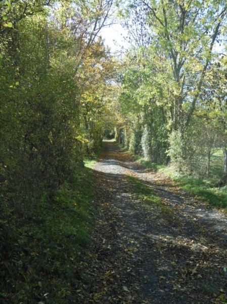
This loop alternates between passages in the woods and open viewpoints. In the distance you will discover the village of Prunières and its mine shaft, the Drac valley and the lake of the St Pierre de Méaroz dam.
The characteristics of the route.

La Mure (38)
- Distance 7.4 km
- Elevation gain 120 m
- Elevation lost 120 m
- Min. elevation 811 m
- Max. elevation. 891 m
- Duration (depending on pace) 2h
- Marking Yes
Equipments : Picnic area, Car park, Orientation board, Step by step description : Journey :
Starting point at the train station's car park. Pass through La Mure - Hôtel de Ville (City Hall). From there, head to La Méharie passing by La croix du Mitral, Les Sagnettes, Le Clos du Puit. Then return to La Mure passing through Sous Péchaud and La Croix du Mitrail.
Area : Matheysine
Report a problem
Website TOPO_Tour_de_la_Méharie Features of the application :
- Location and orientation on detailed maps thanks to the GPS of your smartphone
- Description of routes and points of interest on the route
- Photo gallery by route
- Detailed elevation profile
- Route tracking alert to warn you if you stray from the route
- Send predefined messages by SMS to your contacts
- Emergency module: trigger a call or send an emergency SMS in case of problem
- Agenda: access to events organized in the department
- News: find in the application the latest news on the web portal
- Adding achievements
- Add reports in case of problems encountered on the routes
- Share on social networks
Add your time and share your feelings
Services nearby

Museum "Musée Matheysin"
La Mure
Musuem "La Mine Image"
La Motte-d'Aveillans

Maison du Tourisme de La Motte d'Aveillans
La Motte-d'Aveillans
Point d'information du Môle (Lac de Monteynard-Avignonet)
Treffort

Belvédère Olivier Messiaen
Saint-Théoffrey


Information updated on 2025-08-17 by Matheysine Tourisme


Follow us on
the digital trails
the digital trails


![]()
The Isère Outdoor application was created
by the Département de l'Isère
Infos & contact
Conseil départemental de l'Isère
7 rue Fantin Latour
CS 41096
38 022 Grenoble cedex 1
Tel. 04 76 00 38 38
 Isère Outdoor - Parcours - Méharie tour
Hello, world! This is a toast message.
Isère Outdoor - Parcours - Méharie tour
Hello, world! This is a toast message.
Isère Outdoor - Parcours - Méharie tour
Hello, world! This is a toast message.


OK
Annuler