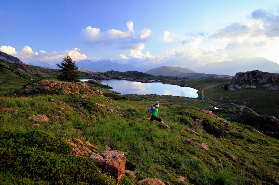
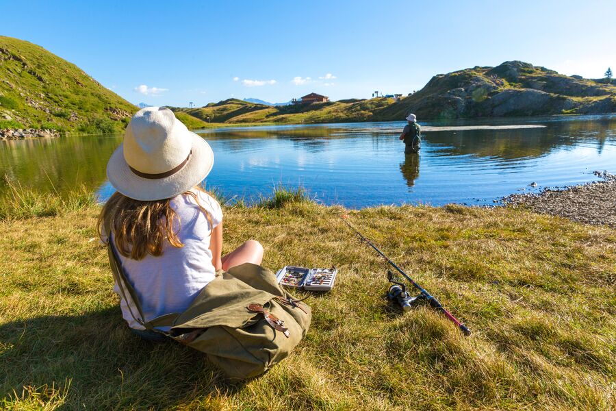
Lac Besson
Add to my favorites

Caution! Zone of vigilance near the route
Alpage ovin d'Huez - du 15/06/2026 au 15/10/2026 Upcoming
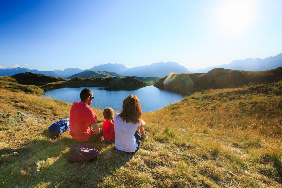
Cette randonnée vous emmènera sans difficultés découvrir les nombreux lacs et tourbières d’altitude présents sur le plateau de l’Alpette.
Route labeled FFRandonnée

The characteristics of the route.

Alpe d'Huez (38)
- Distance 2.8 km
- Elevation gain 50 m
- Elevation lost 80 m
- Min. elevation 2035 m
- Max. elevation. 2090 m
- Duration (depending on pace) 1h40
- Marking Yes
Equipments : Car park, Admission fee : Free access.Opening : From 01/05 to 31/10.
Subject to favorable weather.
Area : Oisans
Report a problem
Website TOPO_Lac Besson Features of the application :
- Location and orientation on detailed maps thanks to the GPS of your smartphone
- Description of routes and points of interest on the route
- Photo gallery by route
- Detailed elevation profile
- Route tracking alert to warn you if you stray from the route
- Send predefined messages by SMS to your contacts
- Emergency module: trigger a call or send an emergency SMS in case of problem
- Agenda: access to events organized in the department
- News: find in the application the latest news on the web portal
- Adding achievements
- Add reports in case of problems encountered on the routes
- Share on social networks
Add your time and share your feelings
Services nearby

Oz en Oisans Tourist Office
Oz-en-Oisans

Musée d'Huez et de l'Oisans
Alpe d'Huez

La Fare mountain hut
Oz-en-Oisans
Office de Tourisme
Alpe d'Huez
Tourist office of Allemond
Allemond


Follow us on
the digital trails
the digital trails


![]()
The Isère Outdoor application was created
by the Département de l'Isère
Infos & contact
Conseil départemental de l'Isère
7 rue Fantin Latour
CS 41096
38 022 Grenoble cedex 1
Tel. 04 76 00 38 38
 Isère Outdoor - Parcours - Lac Besson
Hello, world! This is a toast message.
Isère Outdoor - Parcours - Lac Besson
Hello, world! This is a toast message.
Isère Outdoor - Parcours - Lac Besson
Hello, world! This is a toast message.


OK
Annuler