Taillefer Mount, 2 857m.
Add to my favorites

Caution! Zone of vigilance near the route
Brouffier - du 15/06/2026 au 15/09/2026 In progress
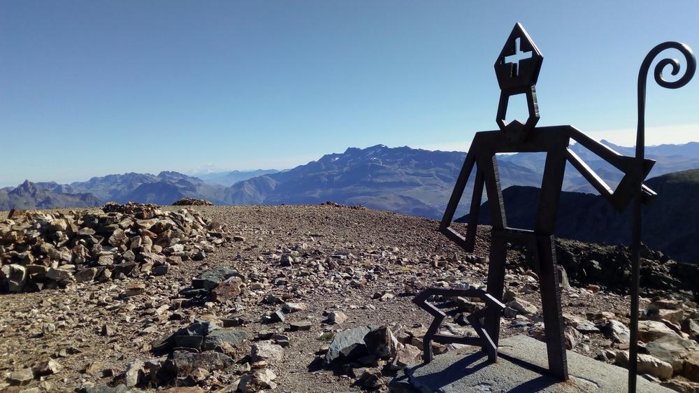
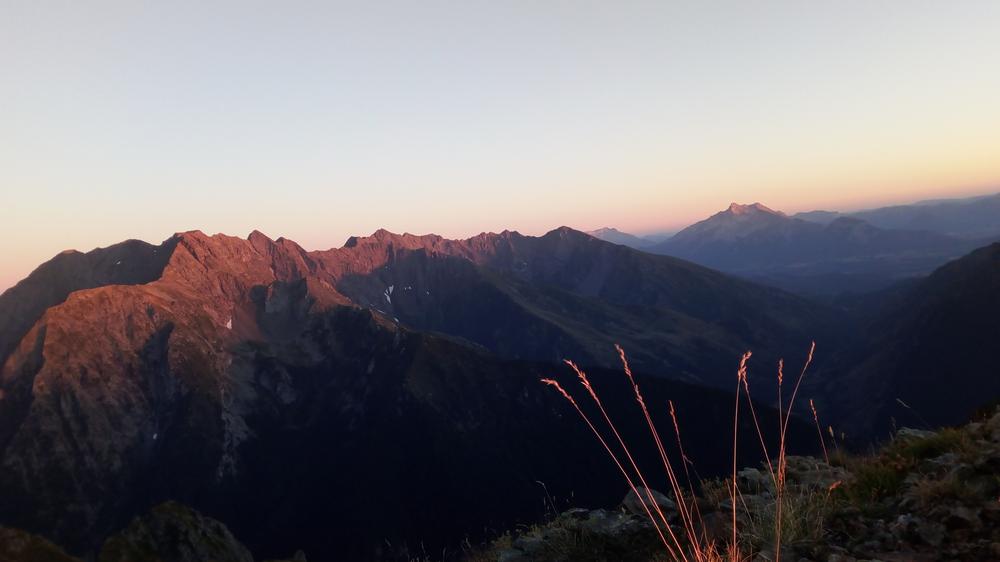
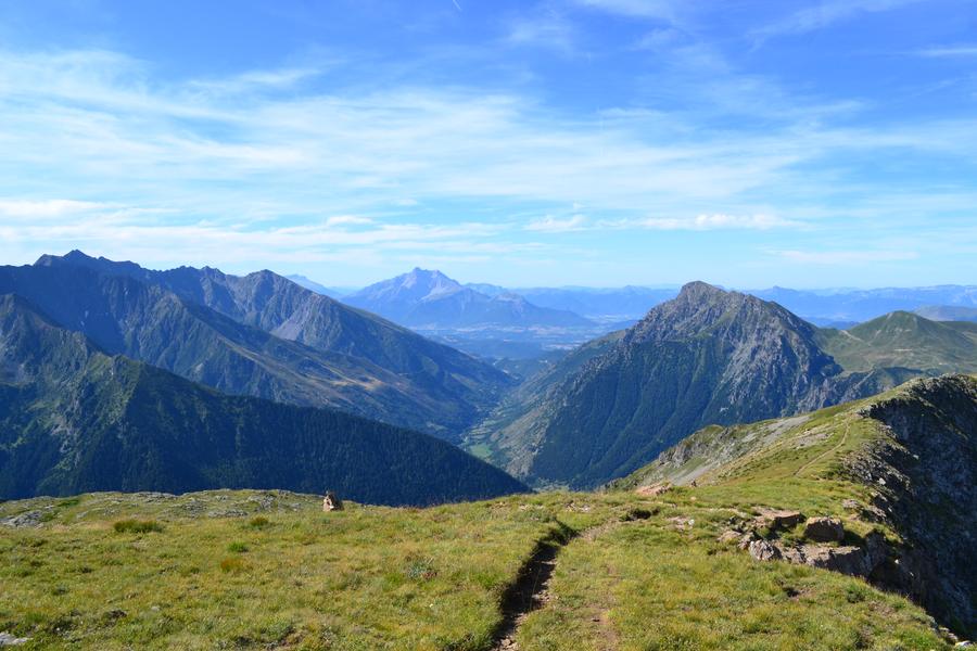
At 2,857 meters, Le Taillefer is the highest peak in the massif.
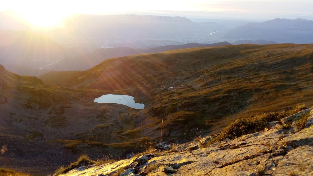
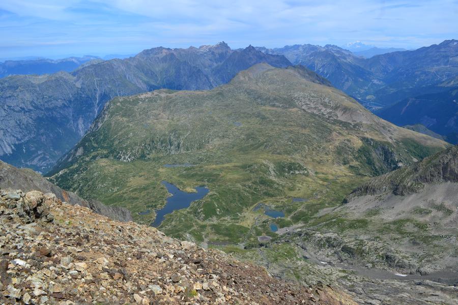
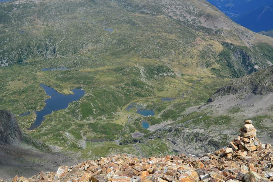
You'll enjoy an exceptional view of the surrounding mountains, the panorama is truly breathtaking!
A must-see summit for any hiker visiting the area.
The characteristics of the route.

Alpe Du Grand Serre (38)
- Distance 12.6 km
- Elevation gain 1160 m
- Elevation lost 1160 m
- Min. elevation 1694 m
- Max. elevation. 2846 m
- Duration (depending on pace) 6h30
- Marking Yes
Le Taillefer (2,857 m) — A local Everest with unforgettable views
Rising to 2,857 meters, Le Taillefer is a true "local Everest", a legendary summit offering unforgettable panoramic views over the surrounding mountains. A hike to remember!
Route description:
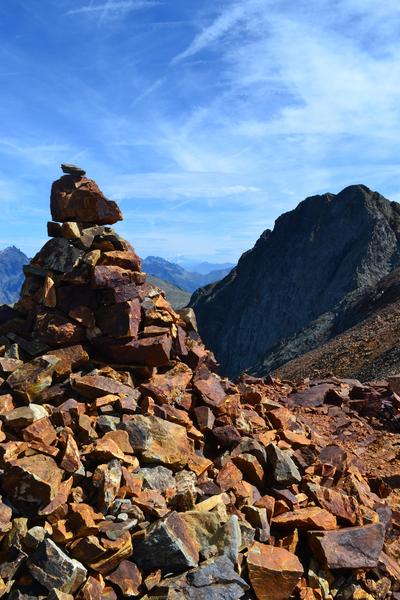
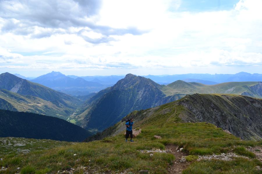
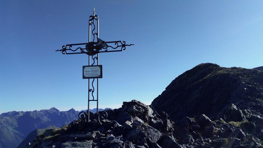
The hike starts at Combe Oursière (1,670 m), reached via the road leading to Lac du Poursollet. From Combe Oursière, take the trail that climbs steeply through the combe via a series of small switchbacks. After this steep section, the trail gently traverses southward, winding around the Brouffier ridge. Do not follow the path all the way to the Lac de Brouffier. Instead, stay on the rounded ridge: First heading east, following a line of cairns (stone pyramids). Then heading south toward Pas de la Mine, through rocky terrain, following waymarks. From Pas de la Mine (2,414 m), take the trail heading north, which climbs steeply and then skirts just below the rocky ridge. At the end of the ridge, unless you're continuing toward Petit Taillefer, descend toward the southern slope of Col du Grand Van. Just before reaching the col, cross the remaining snowfield (névé) or its remnants heading southeast, then climb diagonally and steeply up to the Dravetta ridge, which you follow due north to the summit (2,857 m). At the top, you can take shelter behind small stone walls, enjoy a well-earned break, and take in the breathtaking view. Return via the same route.
Important!
- You are hiking in a protected natural area. Please:
- Stay on marked trails
- Keep your dog on a leash
- Do not light fires
- Take all your trash with you or dispose of it in the nearest bins
- Respecting and preserving this unique environment is essential.Equipments : Car park, Admission fee : Free access.Opening : From 01/06 to 30/09 daily.
Rising to 2,857 meters, Le Taillefer is a true "local Everest", a legendary summit offering unforgettable panoramic views over the surrounding mountains. A hike to remember!
Route description:
The hike starts at Combe Oursière (1,670 m), reached via the road leading to Lac du Poursollet. From Combe Oursière, take the trail that climbs steeply through the combe via a series of small switchbacks. After this steep section, the trail gently traverses southward, winding around the Brouffier ridge. Do not follow the path all the way to the Lac de Brouffier. Instead, stay on the rounded ridge: First heading east, following a line of cairns (stone pyramids). Then heading south toward Pas de la Mine, through rocky terrain, following waymarks. From Pas de la Mine (2,414 m), take the trail heading north, which climbs steeply and then skirts just below the rocky ridge. At the end of the ridge, unless you're continuing toward Petit Taillefer, descend toward the southern slope of Col du Grand Van. Just before reaching the col, cross the remaining snowfield (névé) or its remnants heading southeast, then climb diagonally and steeply up to the Dravetta ridge, which you follow due north to the summit (2,857 m). At the top, you can take shelter behind small stone walls, enjoy a well-earned break, and take in the breathtaking view. Return via the same route.
Important!
- You are hiking in a protected natural area. Please:
- Stay on marked trails
- Keep your dog on a leash
- Do not light fires
- Take all your trash with you or dispose of it in the nearest bins
- Respecting and preserving this unique environment is essential.Equipments : Car park, Admission fee : Free access.Opening : From 01/06 to 30/09 daily.
Area : Matheysine
Report a problem
Website TOPO_Le Taillefer, 2857m Features of the application :
- Location and orientation on detailed maps thanks to the GPS of your smartphone
- Description of routes and points of interest on the route
- Photo gallery by route
- Detailed elevation profile
- Route tracking alert to warn you if you stray from the route
- Send predefined messages by SMS to your contacts
- Emergency module: trigger a call or send an emergency SMS in case of problem
- Agenda: access to events organized in the department
- News: find in the application the latest news on the web portal
- Adding achievements
- Add reports in case of problems encountered on the routes
- Share on social networks
Add your time and share your feelings
Services nearby

Alpe du Grand Serre Tourist Office
Alpe Du Grand Serre

Romanche Museum
Livet-et-Gavet

Arselle Peatbog (Preserved Natural Area)
Chamrousse

Taillefer Hut
Oulles
Museum of the French Revolution
Vizille


Information updated on 2025-09-21 by Matheysine Tourisme


Follow us on
the digital trails
the digital trails


![]()
The Isère Outdoor application was created
by the Département de l'Isère
Infos & contact
Conseil départemental de l'Isère
7 rue Fantin Latour
CS 41096
38 022 Grenoble cedex 1
Tel. 04 76 00 38 38
 Isère Outdoor - Parcours - Taillefer Mount, 2 857m.
Hello, world! This is a toast message.
Isère Outdoor - Parcours - Taillefer Mount, 2 857m.
Hello, world! This is a toast message.
Isère Outdoor - Parcours - Taillefer Mount, 2 857m.
Hello, world! This is a toast message.


OK
Annuler