Ramettes loop
Add to my favorites

Departure: Tourist Office Chamrousse 1650 Recoin.
The characteristics of the route.

Chamrousse (38)
- Distance 3.9 km
- Elevation gain 220 m
- Elevation lost 220 m
- Min. elevation 1658 m
- Max. elevation. 1833 m
- Duration (depending on pace) 1h30
- Marking Yes
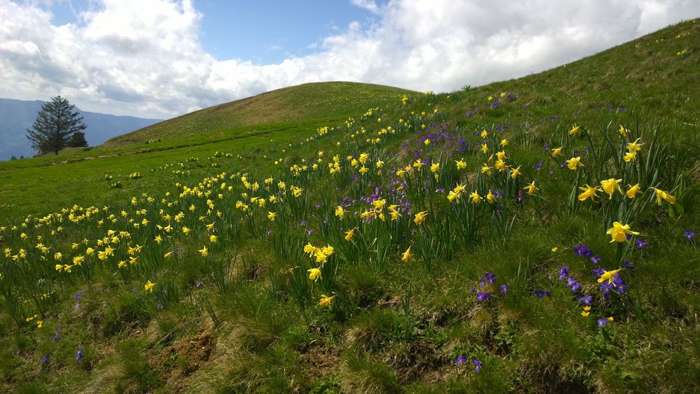
An itinerary starting from Recoin without physical difficulty, offering a superb panorama on the Grenoble valley.Marking : Markers and yellow markersEquipments : Parking, Public WC, Good plans : Panoramic view of the Grenoble ValleyDelicate passages : NoAdmission fee : Free access.Opening : From 05/01 to 11/30.
Area : Grésivaudan
Report a problem
Website Loop of the Ramettes Features of the application :
- Location and orientation on detailed maps thanks to the GPS of your smartphone
- Description of routes and points of interest on the route
- Photo gallery by route
- Detailed elevation profile
- Route tracking alert to warn you if you stray from the route
- Send predefined messages by SMS to your contacts
- Emergency module: trigger a call or send an emergency SMS in case of problem
- Agenda: access to events organized in the department
- News: find in the application the latest news on the web portal
- Adding achievements
- Add reports in case of problems encountered on the routes
- Share on social networks
Add your time and share your feelings
Services nearby

Chamrousse Tourist Office
Chamrousse

Arselle Peatbog (Preserved Natural Area)
Chamrousse

Romanche Museum
Livet-et-Gavet
Office Thermal et Touristique d'Uriage-les-Bains
Saint-Martin-d'Uriage

Refuge de la Pra
Revel


Information updated on 2023-07-10 by Office du Tourisme de Chamrousse


Follow us on
the digital trails
the digital trails


![]()
The Isère Outdoor application was created
by the Département de l'Isère
Infos & contact
Conseil départemental de l'Isère
7 rue Fantin Latour
CS 41096
38 022 Grenoble cedex 1
Tel. 04 76 00 38 38
 Isère Outdoor - Parcours - Ramettes loop
Hello, world! This is a toast message.
Isère Outdoor - Parcours - Ramettes loop
Hello, world! This is a toast message.
Isère Outdoor - Parcours - Ramettes loop
Hello, world! This is a toast message.


OK
Annuler