Randonnée pédestre les Sources du Bion
Add to my favorites

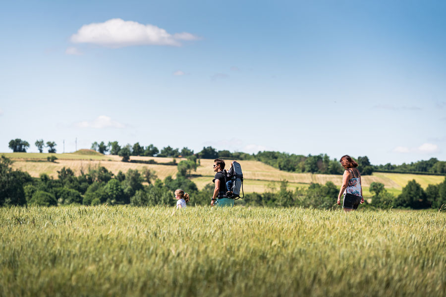
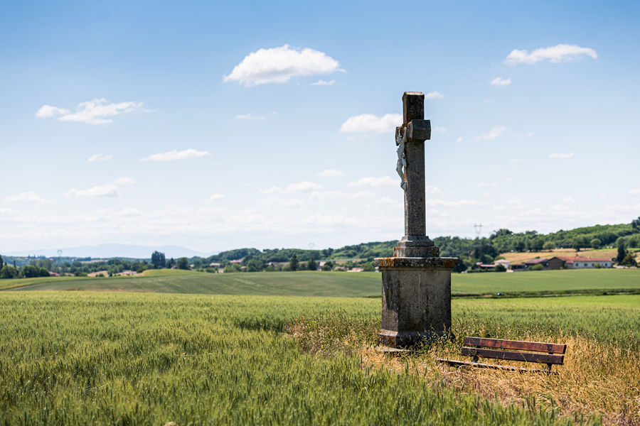
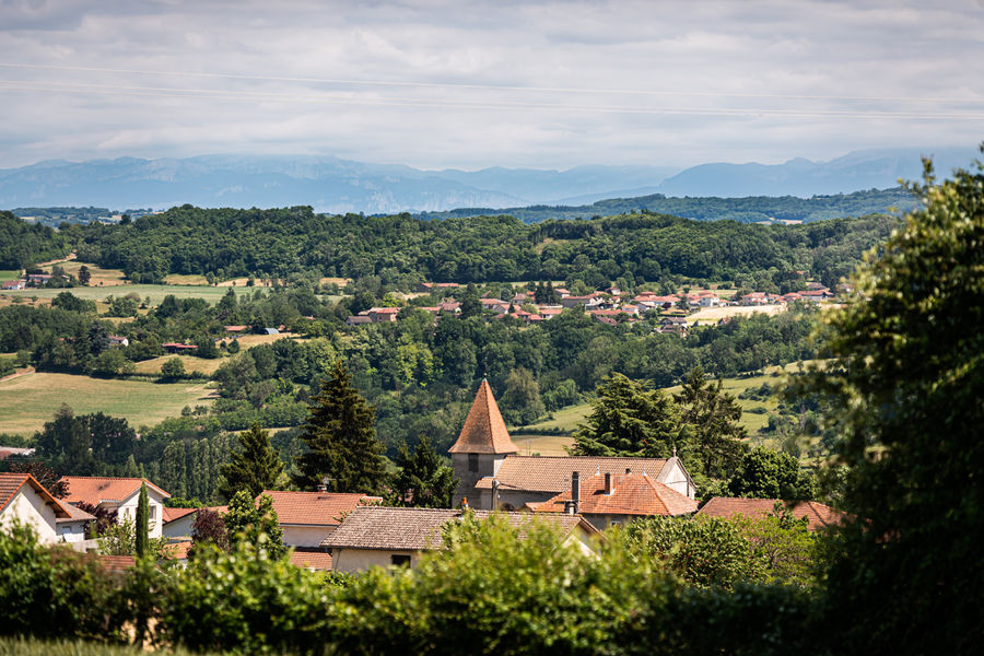
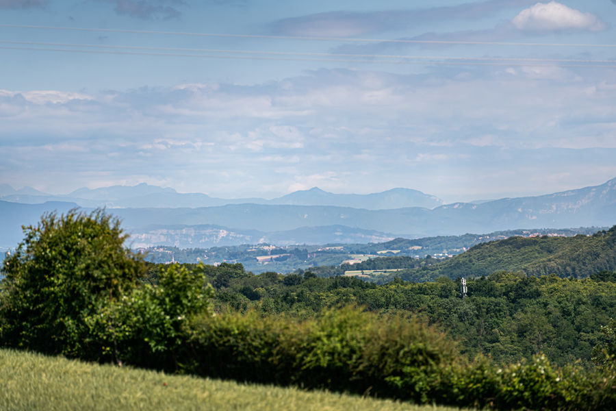
Des hauteurs où se trouvent Crachier et son sommet, descente vers le ruisseau du Bion et retour par les vallons.
The characteristics of the route.

Crachier (38)
- Distance 10.5 km
- Elevation gain 210 m
- Elevation lost 210 m
- Min. elevation 350 m
- Max. elevation. 472 m
- Duration (depending on pace) 4h
- Marking Yes
Equipments : Car park, Admission fee : Free access.Opening : All year round.
Area : Porte de l'Isère
Report a problem
Website TOPO_Randonnée pédestre les Sources du Bion Features of the application :
- Location and orientation on detailed maps thanks to the GPS of your smartphone
- Description of routes and points of interest on the route
- Photo gallery by route
- Detailed elevation profile
- Route tracking alert to warn you if you stray from the route
- Send predefined messages by SMS to your contacts
- Emergency module: trigger a call or send an emergency SMS in case of problem
- Agenda: access to events organized in the department
- News: find in the application the latest news on the web portal
- Adding achievements
- Add reports in case of problems encountered on the routes
- Share on social networks
Rico270
The 2024/03/17
En savoir plus
Ajouter votre chrono et partager vos sensations
2024/03/17 Rico270
Balade du dimanche, en famille.
Sympa.dans une vallée iseroise,. Valonnée, et bordée, de villages perchés. Ne.manque.pas.d'intérêt, et de charme. Découverte du Bion petit ruisseau, que ns rencontrons, sur l'itinéraire.
La rando, est facile, mais se passe, un peu trop sur le bitume, des départementales. Manque de chemin terreux. A faire quand même.
Services nearby

Office de Tourisme CAPI Porte de l'Isère
Bourgoin-Jallieu

Musée de Bourgoin-Jallieu
Bourgoin-Jallieu

Espace naturel sensible de l'étang de Montjoux
Saint-Jean-de-Bournay

Relais Cyné de Chateauvilain
Châteauvilain
Espace naturel sensible de l'étang de Fallavier et Vallon du Layet
Saint-Quentin-Fallavier


Information updated on 2023-10-20 by Office de Tourisme CAPI - Porte de l'Isère


Follow us on
the digital trails
the digital trails


![]()
The Isère Outdoor application was created
by the Département de l'Isère
Infos & contact
Conseil départemental de l'Isère
7 rue Fantin Latour
CS 41096
38 022 Grenoble cedex 1
Tel. 04 76 00 38 38
 Isère Outdoor - Parcours - Randonnée pédestre les Sources du Bion
Hello, world! This is a toast message.
Isère Outdoor - Parcours - Randonnée pédestre les Sources du Bion
Hello, world! This is a toast message.
Isère Outdoor - Parcours - Randonnée pédestre les Sources du Bion
Hello, world! This is a toast message.


OK
Annuler