Randonnée pédestre de l'étang Belle Etoile
Add to my favorites

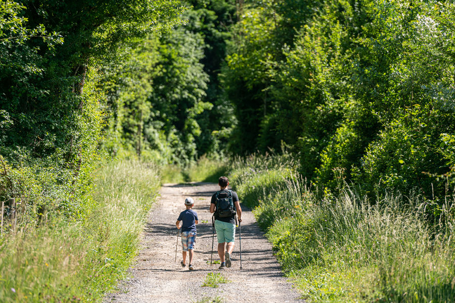
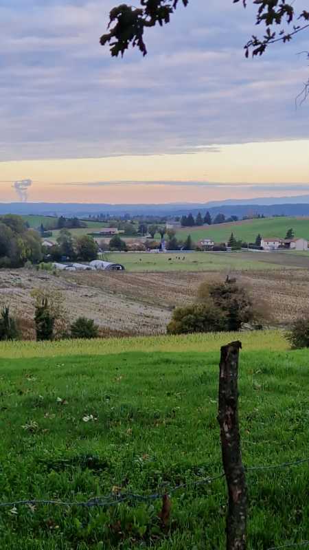
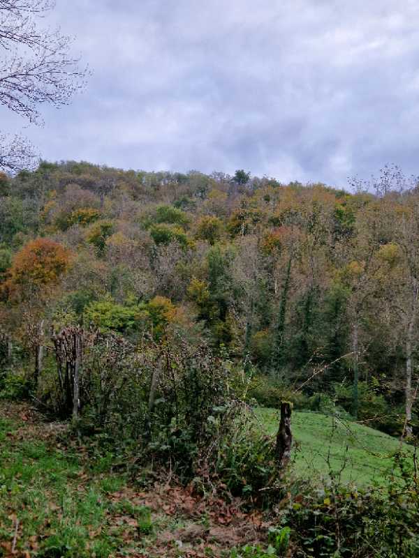
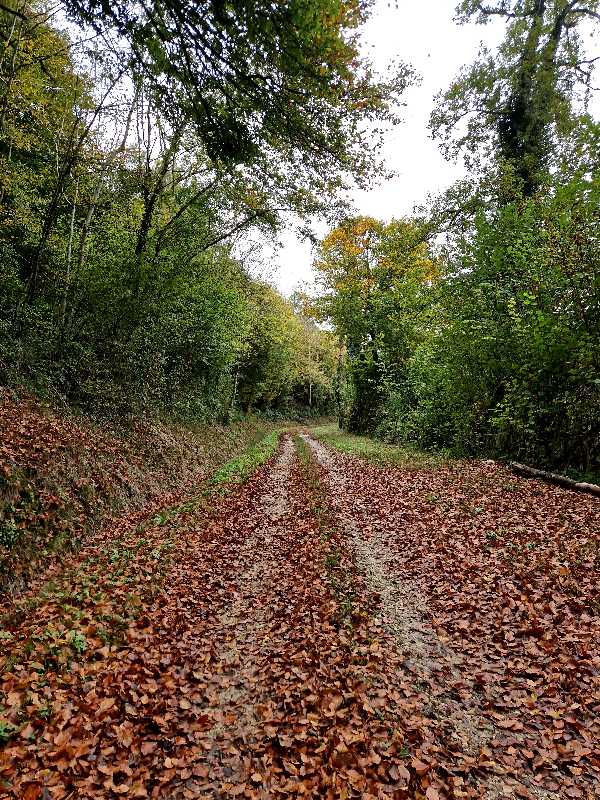
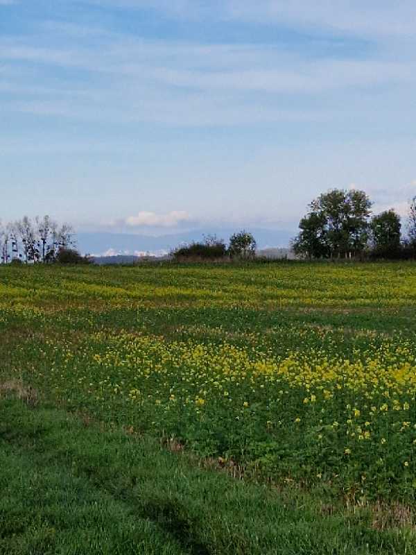
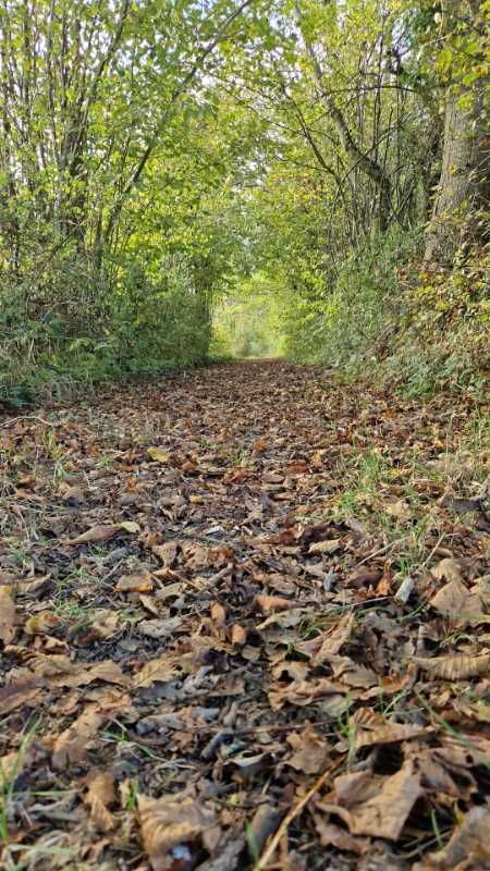
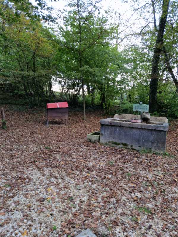
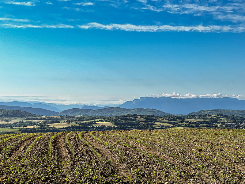
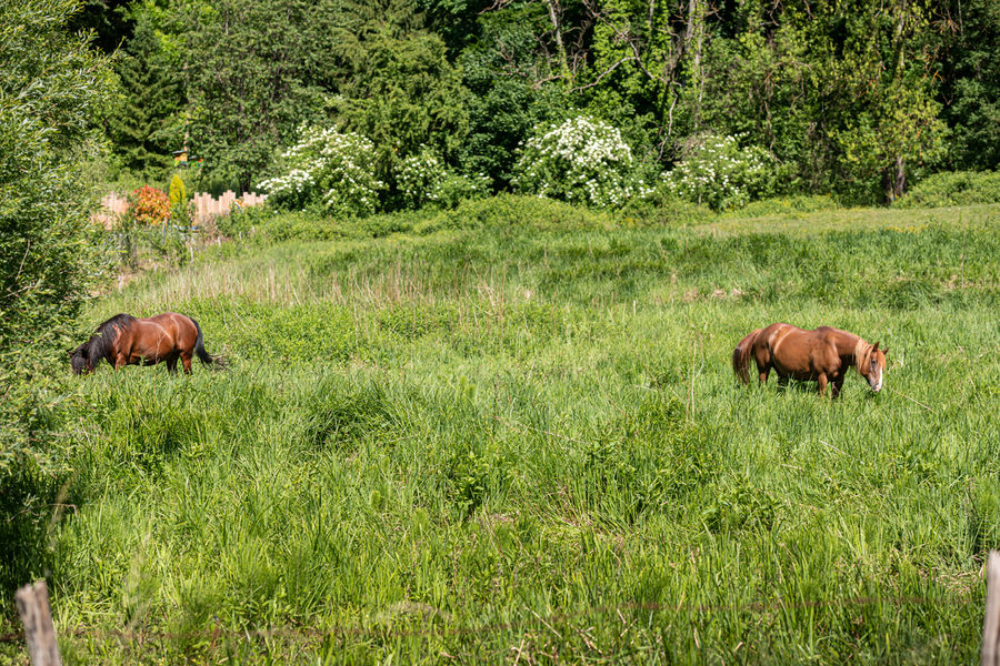
Jolie promenade à la découverte du site préservé de Combe Vieille, un coin de verdure et de fraîcheur pour vous ressourcer.
The characteristics of the route.

Châteauvilain (38)
- Distance 10.8 km
- Elevation gain 220 m
- Elevation lost 220 m
- Min. elevation 370 m
- Max. elevation. 560 m
- Duration (depending on pace) 3h45
- Marking Yes
Equipments : Car park, Admission fee : Free access.Opening : All year round.
Area : Porte de l'Isère
Report a problem
Website Randonnée pédestre de l'étang Belle Etoile Features of the application :
- Location and orientation on detailed maps thanks to the GPS of your smartphone
- Description of routes and points of interest on the route
- Photo gallery by route
- Detailed elevation profile
- Route tracking alert to warn you if you stray from the route
- Send predefined messages by SMS to your contacts
- Emergency module: trigger a call or send an emergency SMS in case of problem
- Agenda: access to events organized in the department
- News: find in the application the latest news on the web portal
- Adding achievements
- Add reports in case of problems encountered on the routes
- Share on social networks
Gal38110
The 2024/10/28
En savoir plus
Gal38110
finished in 03:00:00
The 2024/10/27
En savoir plus
Ajouter votre chrono et partager vos sensations
2024/10/28 Gal38110
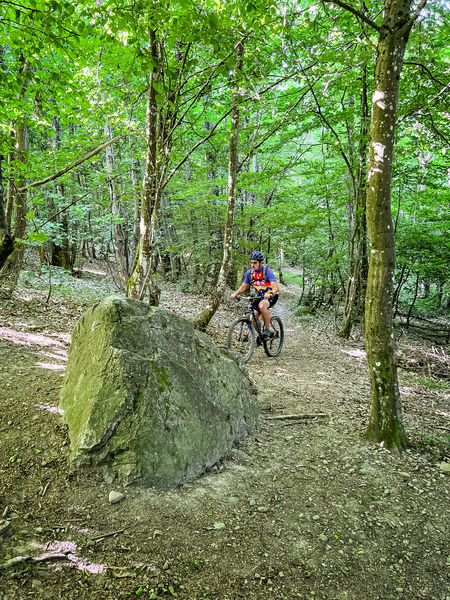
Une belle randonnée qui descend et qui monte bien à certains endroits. Une partie (1h de je dirais) sur la route mais avec très très peu de circulation du moins le dimanche après midi. A découvrir
Services nearby

Relais Cyné de Chateauvilain
Châteauvilain

Musée de Bourgoin-Jallieu
Bourgoin-Jallieu

Office de Tourisme CAPI Porte de l'Isère
Bourgoin-Jallieu
Relais Cyné de Châbons
Châbons
Tourist information office of La Tour du Pin - Office de Tourisme des Vals du Dauphiné
La Tour-du-Pin


Information updated on 2025-01-28 by Office de Tourisme CAPI - Porte de l'Isère


Follow us on
the digital trails
the digital trails


![]()
The Isère Outdoor application was created
by the Département de l'Isère
Infos & contact
Conseil départemental de l'Isère
7 rue Fantin Latour
CS 41096
38 022 Grenoble cedex 1
Tel. 04 76 00 38 38
 Isère Outdoor - Parcours - Randonnée pédestre de l'étang Belle Etoile
Hello, world! This is a toast message.
Isère Outdoor - Parcours - Randonnée pédestre de l'étang Belle Etoile
Hello, world! This is a toast message.
Isère Outdoor - Parcours - Randonnée pédestre de l'étang Belle Etoile
Hello, world! This is a toast message.


OK
Annuler