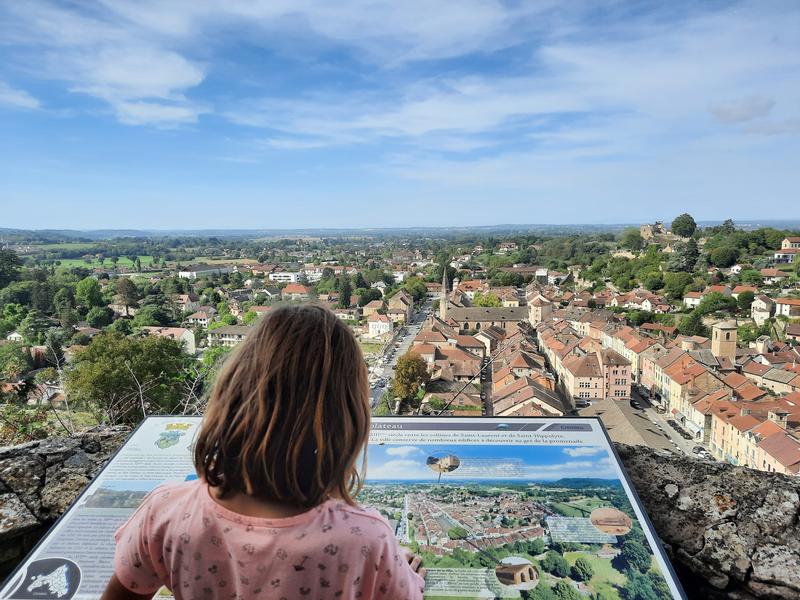
Randonnée nature avec panorama, entre Crémieu, cité médiévale et l'étang de Dizimieu
Add to my favorites

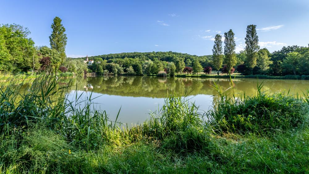
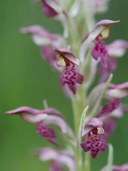
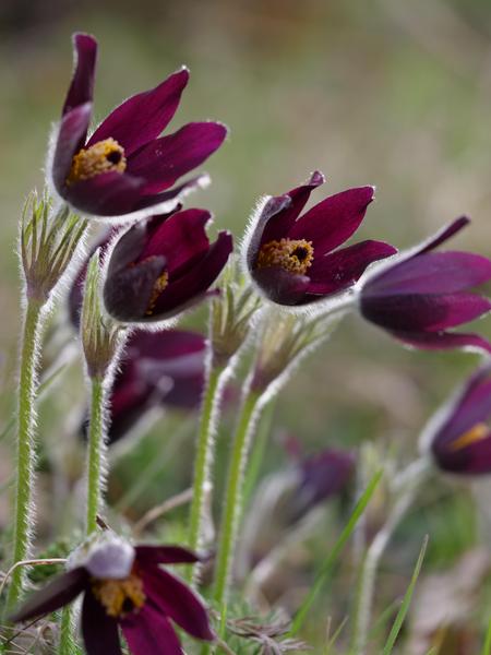
Au départ de Crémieu, cité médiévale, cette randonnée nature, en grande partie en sous-bois, vous apportera fraîcheur en été en cas de forte chaleur ou au printemps, pour profiter des tapis de fleurs sauvages qui bordent étang et clairières.
Route labeled FFRandonnée

The characteristics of the route.

Crémieu (38)
- Distance 14.1 km
- Elevation gain 330 m
- Elevation lost 330 m
- Min. elevation 215 m
- Max. elevation. 385 m
- Duration (depending on pace) 4h20
- Marking Yes
Admission fee : Free access.Opening : All year round.
Subject to favorable weather.
Area : Balcons du Dauphiné
Report a problem
Website Features of the application :
- Location and orientation on detailed maps thanks to the GPS of your smartphone
- Description of routes and points of interest on the route
- Photo gallery by route
- Detailed elevation profile
- Route tracking alert to warn you if you stray from the route
- Send predefined messages by SMS to your contacts
- Emergency module: trigger a call or send an emergency SMS in case of problem
- Agenda: access to events organized in the department
- News: find in the application the latest news on the web portal
- Adding achievements
- Add reports in case of problems encountered on the routes
- Share on social networks
Add your time and share your feelings
Services nearby

Mineralogica - The mineral museum
Villemoirieu

Marais de la Besseye Sensitive Natural Area
Villemoirieu
Hières-sur-Amby Heritage Centre
Hières-sur-Amby
Salette Lake
Courtenay
Etang de Lemps sensitive natural area
Optevoz


Information updated on 2024-12-30 by Office du Tourisme Les Balcons du Dauphiné


Follow us on
the digital trails
the digital trails


![]()
The Isère Outdoor application was created
by the Département de l'Isère
Infos & contact
Conseil départemental de l'Isère
7 rue Fantin Latour
CS 41096
38 022 Grenoble cedex 1
Tel. 04 76 00 38 38
 Isère Outdoor - Parcours - Randonnée nature avec panorama, entre Crémieu, cité médiévale et l'étang de Dizimieu
Hello, world! This is a toast message.
Isère Outdoor - Parcours - Randonnée nature avec panorama, entre Crémieu, cité médiévale et l'étang de Dizimieu
Hello, world! This is a toast message.
Isère Outdoor - Parcours - Randonnée nature avec panorama, entre Crémieu, cité médiévale et l'étang de Dizimieu
Hello, world! This is a toast message.


OK
Annuler