Les balcons de Gresse
Add to my favorites


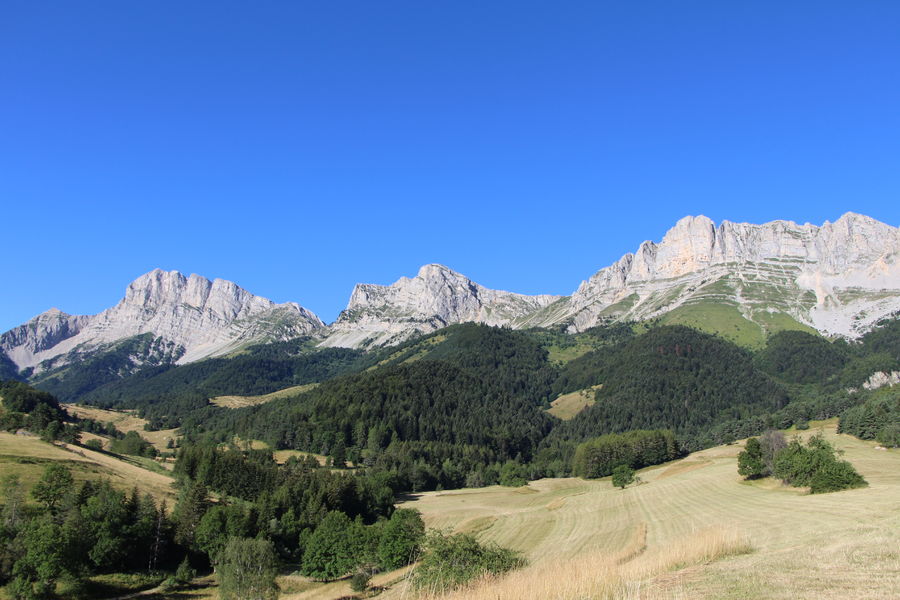
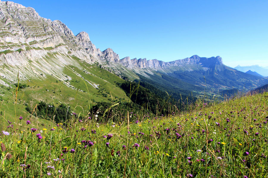
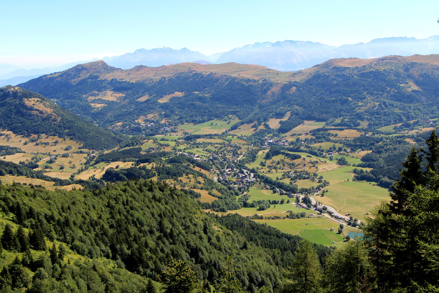
A hike that allows you to appreciate the majestic cliffs of the Balcon Est du Vercors! It's not unusual to come across wildlife, notably ibex and marmots. Beware: a few passages may put off hikers sensitive to vertigo.
The characteristics of the route.

Gresse-en-Vercors (38)
- Distance 14.3 km
- Elevation gain 720 m
- Elevation lost 720 m
- Min. elevation 1205 m
- Max. elevation. 1751 m
- Duration (depending on pace) 5h
- Marking Yes
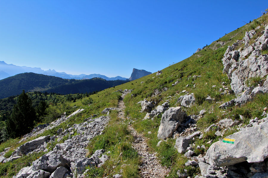
The Balcons de Gresse hike takes you along the magnificent Balcon Est trail, which skirts the impressive cliffs of the Vercors. The itinerary is varied: forest passages, undergrowth, ridges, scree slopes... Crossing ravines requires good footwear and a fear of heights.Marking : The markings are yellow-green lines (PR).Equipments : Free car park, Car park, Delicate passages : When crossing the "ravines", the path is narrow and can put off hikers sensitive to vertigo: take care.
Please note that at the start of the season, persistent snow in the ravines may prevent safe passage. Contact the Tourist Office on 04 82 62 63 50 for further information.Admission fee : Free access.Opening : All year round.
Subject to favorable snow and weather conditions.Step by step description : Start: Park in the bakery parking lot, near the foyer nordique, near the bus shelter, where there's a "La Rivoire" signpost.
1) From the parking lot, follow the signs for "Chauve Terre" along the road to the traffic circle (take care).
2) From "Chauve Terre", follow "Croix de Serre Monet" up the asphalt road to the left for about 100 m, before taking the right-hand climb.
3) At "Croix de Serre-Monet", turn left towards "les Petits Deux", passing the Grand-Veymont farm. In the hamlet of Les Petits Deux, take the tarmac road towards Col des Deux to find the "Les Petits Deux" sign at the top of the climb.
4) Turn left towards "Côte Joubert". The climb begins alongside meadows, then rises steadily through the forest, culminating in a final steep climb after leaving the forest.
5) From "Côte Joubert", follow the ridge to the "Sous Séguret" post.
6) From "Sous Séguret", turn left towards "Sous le Pas de la Ville": this is the start of the traverse along the eastern balcony of the Vercors. Take care when crossing ravines!
7) At "Sous le Pas de la Ville", continue towards "Baraque du Veymont". You can also shorten your hike by 2km by descending directly to "Champ de l'Herse" (steep descent).
8) From "Baraque du Veymont", descend gently to "Champ de l'Herse" via the track and then a small path that cuts across the track.
9) From "Champ de l'Herse", follow the tarmac road and turn right at the bridge to "Girard".
10) Return to your starting point at "La Rivoire" via "Gressette", alongside the Gresse en Vercors campsite.
Area : Trièves
Report a problem
Website Pdf file Features of the application :
- Location and orientation on detailed maps thanks to the GPS of your smartphone
- Description of routes and points of interest on the route
- Photo gallery by route
- Detailed elevation profile
- Route tracking alert to warn you if you stray from the route
- Send predefined messages by SMS to your contacts
- Emergency module: trigger a call or send an emergency SMS in case of problem
- Agenda: access to events organized in the department
- News: find in the application the latest news on the web portal
- Adding achievements
- Add reports in case of problems encountered on the routes
- Share on social networks
Add your time and share your feelings
Services nearby

Foyer nordique de Gresse-en-Vercors
Gresse-en-Vercors

Point d'Information Touristique de Gresse en Vercors
Gresse-en-Vercors
Chichilianne Nordic Center
Chichilianne
Point d'information touristique du Môle (Lac de Monteynard-Avignonet)
Treffort
Point d'information touristique de Chichilianne
Chichilianne


Information updated on 2025-01-23 by Office de Tourisme du Trièves


Follow us on
the digital trails
the digital trails





The Isère Outdoor application was created
by the Département de l'Isère
Infos & contact
Conseil départemental de l'Isère
7 rue Fantin Latour
CS 41096
38 022 Grenoble cedex 1
Tel. 04 76 00 38 38
 Isère Outdoor - Parcours - Les balcons de Gresse
Hello, world! This is a toast message.
Isère Outdoor - Parcours - Les balcons de Gresse
Hello, world! This is a toast message.
Isère Outdoor - Parcours - Les balcons de Gresse
Hello, world! This is a toast message.


OK
Annuler