Grand-Veymont via Pas de la Ville
Add to my favorites

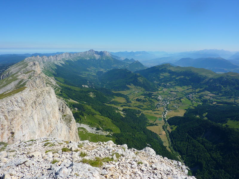
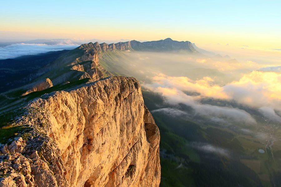
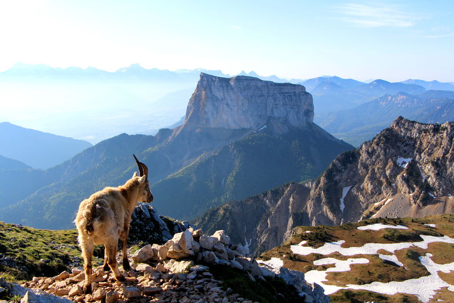
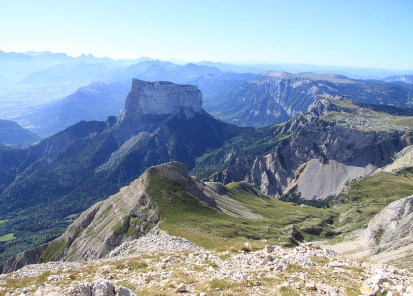
The highest point in the Vercors massif at 2341m, Grand-Veymont offers magnificent 360° views! It overlooks the village of Gresse en Vercors, Mont-Aiguille and the impressive cliffs of the Balcon Est du Vercors.
The characteristics of the route.

Gresse-en-Vercors (38)
- Distance 12.5 km
- Elevation gain 1100 m
- Elevation lost 1100 m
- Min. elevation 1247 m
- Max. elevation. 2322 m
- Duration (depending on pace) 6h
- Marking Yes
Climb Grand-Veymont and meet the wildlife of the Réserve Naturelle des Hauts-Plateaux du Vercors: ibex, marmots and sometimes vultures will accompany you to the summit!Marking : Yellow-green line markings (PR) up to Pas de la Ville
After Pas de la Ville, no markings (Réserve naturelle des Hauts-Plateaux du Vercors)Equipments : Public WC, Car park, Coach parking, Free car park, Delicate passages : After the Pas de la Ville, the climb becomes more challenging, with a short section exposed to the void.
Take care near the ridges.
Beware of persistent snow in spring.Admission fee : Free of charge.Opening : All year round.
Subject to favorable snow and weather conditions.Step by step description : Start: From "Champ de l'Herse", head towards "Sous le Pas de la Ville" along a pleasant path that passes the Gresse en Vercors resort water reservoir. After a 1-km warm-up, the slope steepens as soon as you enter the forest. This sporty, fairly straightforward climb continues until you leave the forest, where you can once again see the Grand-Veymont.
2) From the "Sous le Pas de la Ville" signpost, continue climbing towards the "Pas de la Ville". The path soon becomes stony and, after a few hairpin bends, leads into the Hauts-Plateaux du Vercors Nature Reserve.
3) At the "Pas de la Ville", turn left to the south to continue the ascent to the summit. Be careful, as the path becomes more technical, with a small exposed section, then steps that sometimes require you to put your hands down on short passages.
4) You reach a flat area called "l'Agnellerie", then a large cairn before the final part of your ascent to the summit. The path continues to rise, joining the ridges at times, before reaching the summit of Grand-Veymont, where you can enjoy a magical view of Mont-Aiguille.
5) Retrace your steps back down to "Sous le Pas de la Ville". Turn right towards "Baraque du Veymont" for a gentler return route. This return variant allows you to discover the sources of the Gresse, which you cross just before reaching "Baraque du Veymont".
6) Continue downhill to "Champ de l'Herse" on a track and then a pleasant footpath that takes you back to your starting point at the resort.
Area : Trièves
Report a problem
Website Pdf file Features of the application :
- Location and orientation on detailed maps thanks to the GPS of your smartphone
- Description of routes and points of interest on the route
- Photo gallery by route
- Detailed elevation profile
- Route tracking alert to warn you if you stray from the route
- Send predefined messages by SMS to your contacts
- Emergency module: trigger a call or send an emergency SMS in case of problem
- Agenda: access to events organized in the department
- News: find in the application the latest news on the web portal
- Adding achievements
- Add reports in case of problems encountered on the routes
- Share on social networks
Add your time and share your feelings
Services nearby

Foyer nordique de Gresse-en-Vercors
Gresse-en-Vercors

Point d'Information Touristique de Gresse en Vercors
Gresse-en-Vercors
Foyer nordique de Chichilianne
Chichilianne
Point d'information touristique de Chichilianne
Chichilianne
Point d'information touristique du Môle (Lac de Monteynard-Avignonet)
Treffort


Information updated on 2024-06-20 by Office de Tourisme du Trièves


Follow us on
the digital trails
the digital trails





The Isère Outdoor application was created
by the Département de l'Isère
Infos & contact
Conseil départemental de l'Isère
7 rue Fantin Latour
CS 41096
38 022 Grenoble cedex 1
Tel. 04 76 00 38 38
 Isère Outdoor - Parcours - Grand-Veymont via Pas de la Ville
Hello, world! This is a toast message.
Isère Outdoor - Parcours - Grand-Veymont via Pas de la Ville
Hello, world! This is a toast message.
Isère Outdoor - Parcours - Grand-Veymont via Pas de la Ville
Hello, world! This is a toast message.


OK
Annuler