Le Châtel
Add to my favorites

Caution! Zone of vigilance near the route
Chatel - du 03/07/2026 au 21/07/2026 Upcoming
Col de la Brèche - du 03/07/2026 au 21/07/2026 Upcoming
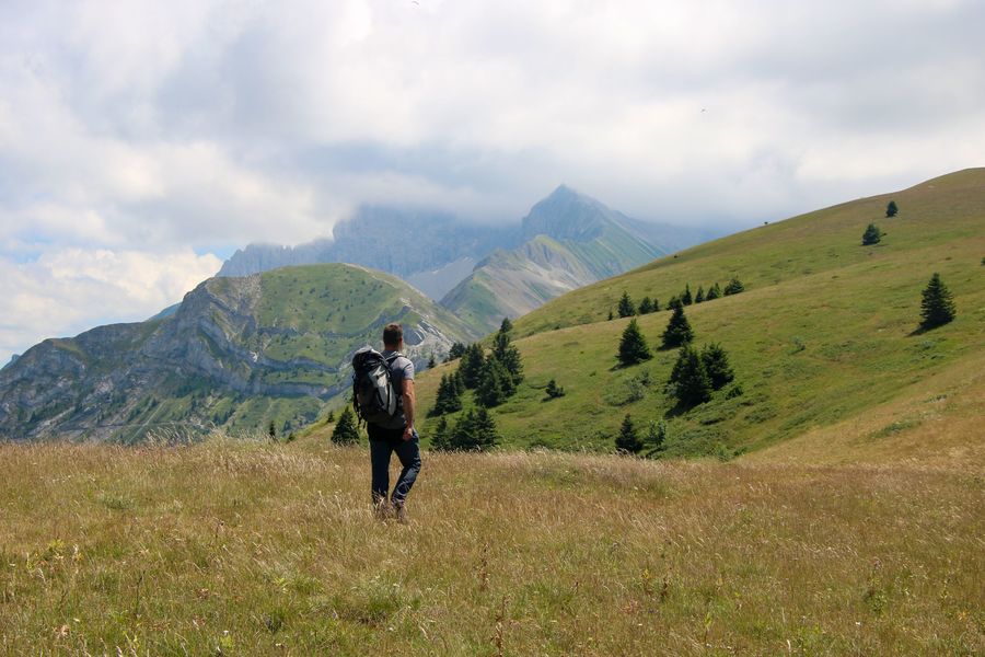
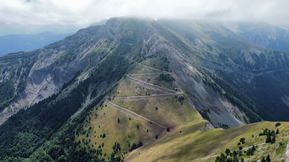
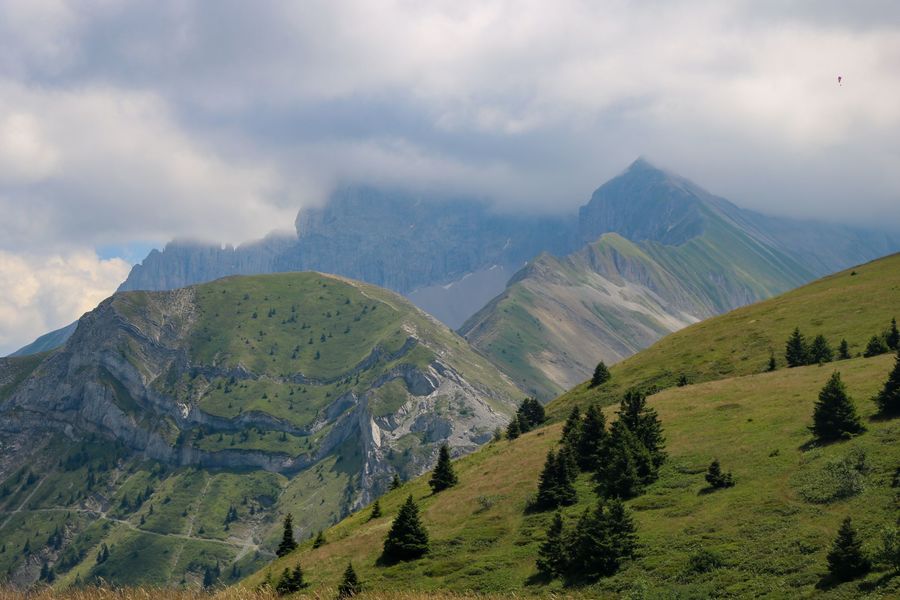
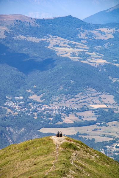
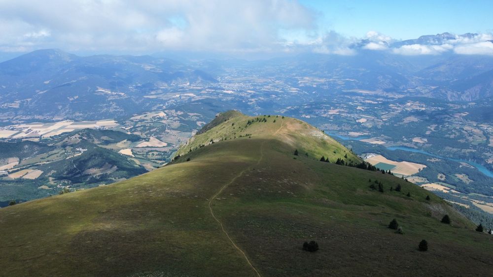
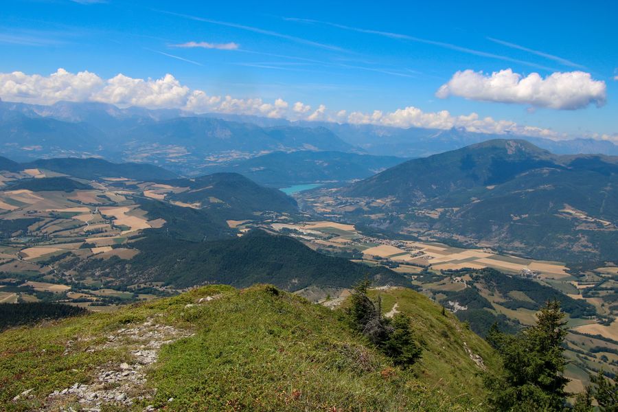
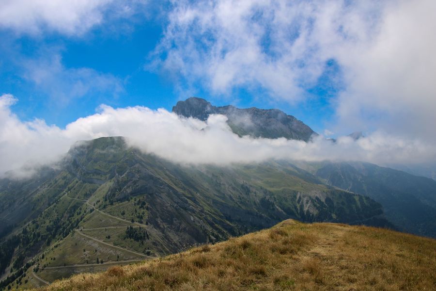
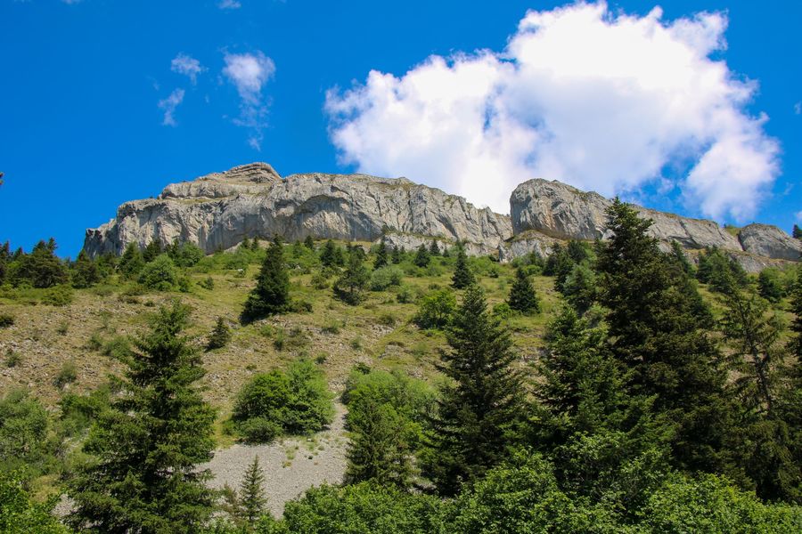
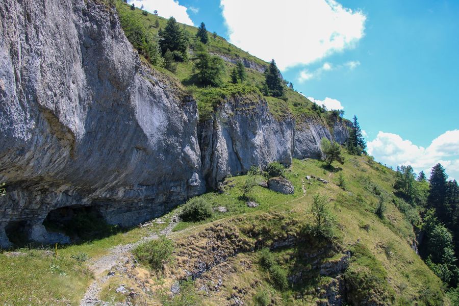
Partez pour un magnifique voyage au sommet de l'emblématique Châtel. Une des meilleures vues sur le Trièves vous attend. Profitez de ce grand alpage pour vous reposer après votre effort. Vous ne serez pas déçu de votre ascension.
The characteristics of the route.

Mens (38)
- Distance 8.3 km
- Elevation gain 670 m
- Elevation lost 670 m
- Min. elevation 1272 m
- Max. elevation. 1934 m
- Duration (depending on pace) 3h30
- Marking Yes
Equipments : Car park, Free car park, Sustainable development, Outhouse, Picnic area, Admission fee : Free of charge.Opening : All year round.
Area : Trièves
Report a problem
Website Pdf file Pdf file Features of the application :
- Location and orientation on detailed maps thanks to the GPS of your smartphone
- Description of routes and points of interest on the route
- Photo gallery by route
- Detailed elevation profile
- Route tracking alert to warn you if you stray from the route
- Send predefined messages by SMS to your contacts
- Emergency module: trigger a call or send an emergency SMS in case of problem
- Agenda: access to events organized in the department
- News: find in the application the latest news on the web portal
- Adding achievements
- Add reports in case of problems encountered on the routes
- Share on social networks
Add your time and share your feelings
Services nearby

Bureau d'Informations Touristiques de Mens - Office de Tourisme du Trièves
Mens

Musée du Trièves
Mens

Foyer nordique de Tréminis
Tréminis
Point d'information Tréminis
Tréminis
Museum "Musée Matheysin"
La Mure


Information updated on 2022-10-27 by Office de Tourisme du Trièves


Follow us on
the digital trails
the digital trails


![]()
The Isère Outdoor application was created
by the Département de l'Isère
Infos & contact
Conseil départemental de l'Isère
7 rue Fantin Latour
CS 41096
38 022 Grenoble cedex 1
Tel. 04 76 00 38 38
 Isère Outdoor - Parcours - Le Châtel
Hello, world! This is a toast message.
Isère Outdoor - Parcours - Le Châtel
Hello, world! This is a toast message.
Isère Outdoor - Parcours - Le Châtel
Hello, world! This is a toast message.


OK
Annuler