
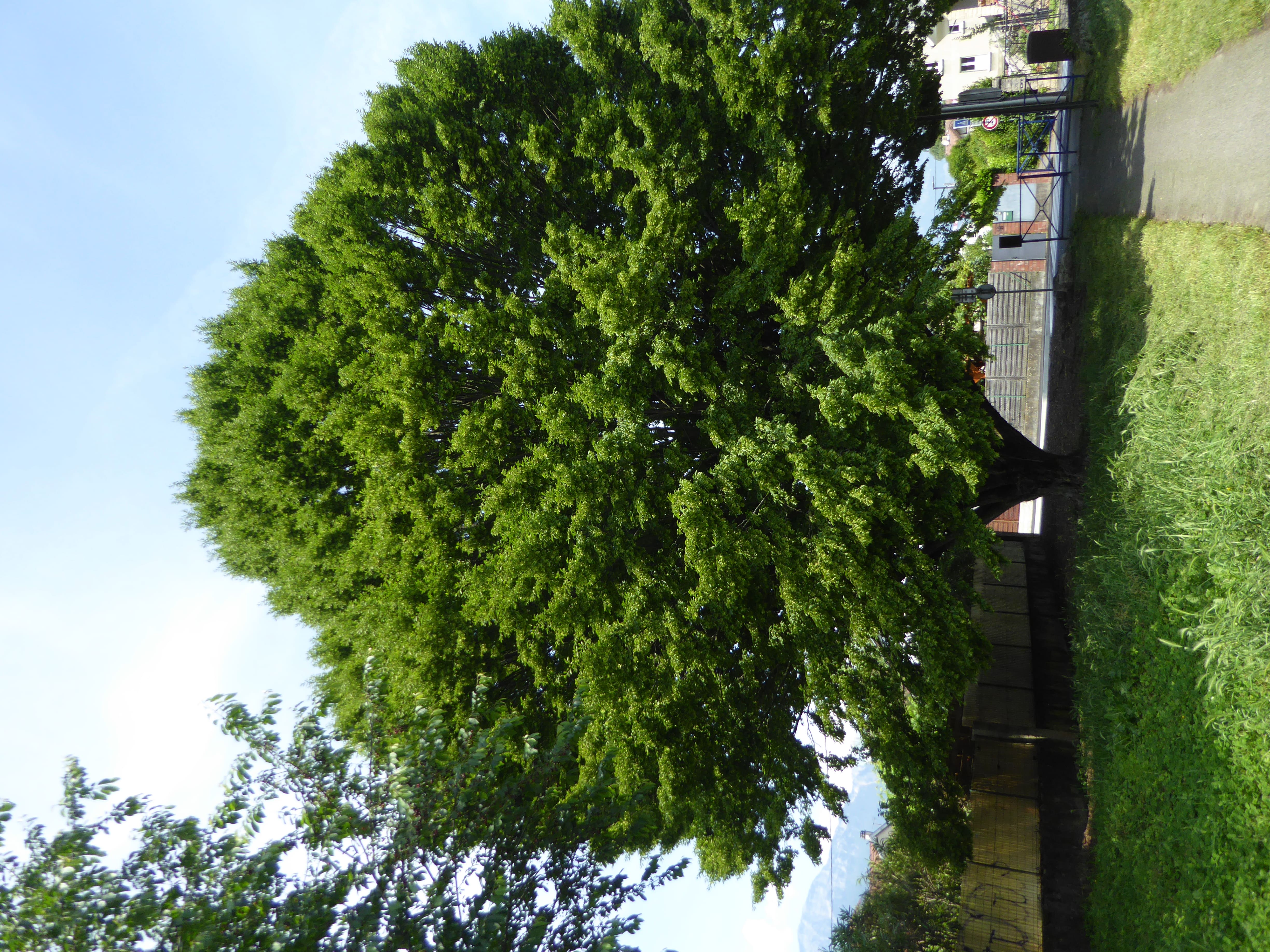
Depuis le square Fernand Texier, un chemin piétonnier mène jusqu’à la rue Honoré de Balzac, traversant un quartier avec une nature cantonnée dans de petits jardins accueillants pour la faune ailée que l’on entend chanter dès le printemps. Un passage pédestre permet de rejoindre la rue Le Corbusier, avec une vue sur le massif de Belledonne et ses différents étages de végétation. Au bout de la rue se trouvent un petit parc et un square où contrastent végétation jardinée et végétation spontanée des bordures. Le circuit mène ensuite vers la rue de la cerisaie, pour gagner le parc Karl Marx, où de nombreux arbres créent un îlot de fraîcheur.

- Distance 2 km
- Elevation gain 10 m
- Elevation lost 10 m
- Min. elevation 212 m
- Max. elevation. 213 m
Features of the application :
- Location and orientation on detailed maps thanks to the GPS of your smartphone
- Description of routes and points of interest on the route
- Photo gallery by route
- Detailed elevation profile
- Route tracking alert to warn you if you stray from the route
- Send predefined messages by SMS to your contacts
- Emergency module: trigger a call or send an emergency SMS in case of problem
- Agenda: access to events organized in the department
- News: find in the application the latest news on the web portal
- Adding achievements
- Add reports in case of problems encountered on the routes
- Share on social networks


the digital trails


![]()
The Isère Outdoor application was created
by the Département de l'Isère
Infos & contact
Conseil départemental de l'Isère
7 rue Fantin Latour
CS 41096
38 022 Grenoble cedex 1
Tel. 04 76 00 38 38
 Isère Outdoor - Parcours - Parcours BioDiv'_Fernand Texier
Isère Outdoor - Parcours - Parcours BioDiv'_Fernand Texier
Isère Outdoor - Parcours - Parcours BioDiv'_Fernand Texier
Isère Outdoor - Parcours - Parcours BioDiv'_Fernand Texier
Isère Outdoor - Parcours - Parcours BioDiv'_Fernand Texier

