Sur les chemins de St Pierre de Chartreuse
Add to my favorites

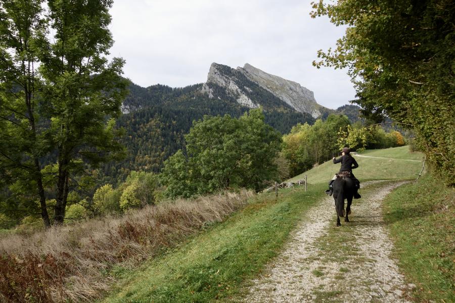
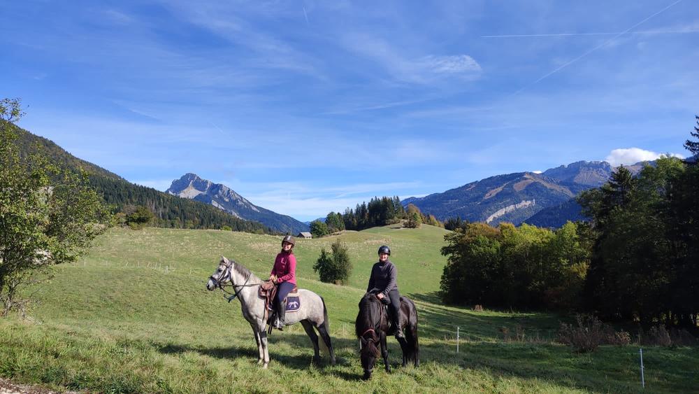
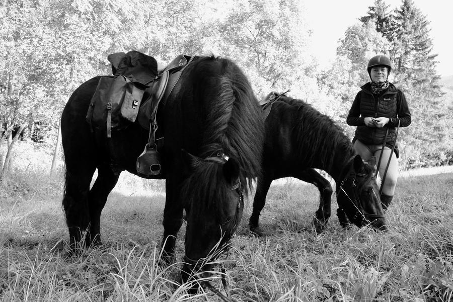
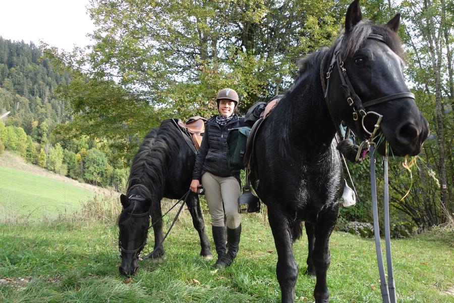
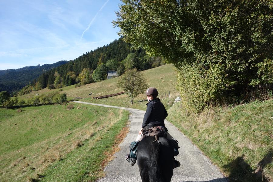
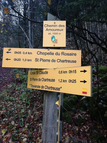
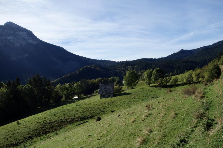
Une boucle idéale pour découvrir les chemins de la Chartreuse, plutôt facile pour les cavaliers initiés. Le départ est proposé au lieu dit La Diat, parking et halte équestre aménagée avec barre d'attache, les cavaliers sont bienvenus à St Pierre !
The characteristics of the route.
Saint-Pierre-de-Chartreuse (38)
- Distance 15.3 km
- Elevation gain 590 m
- Elevation lost 590 m
- Min. elevation 792 m
- Max. elevation. 1140 m
- Duration (depending on pace) 4h
- Marking Yes
Features of the application :
- Location and orientation on detailed maps thanks to the GPS of your smartphone
- Description of routes and points of interest on the route
- Photo gallery by route
- Detailed elevation profile
- Route tracking alert to warn you if you stray from the route
- Send predefined messages by SMS to your contacts
- Emergency module: trigger a call or send an emergency SMS in case of problem
- Agenda: access to events organized in the department
- News: find in the application the latest news on the web portal
- Adding achievements
- Add reports in case of problems encountered on the routes
- Share on social networks
MNCB
The 2024/02/05
En savoir plus
Ajouter votre chrono et partager vos sensations
2024/02/05 MNCB
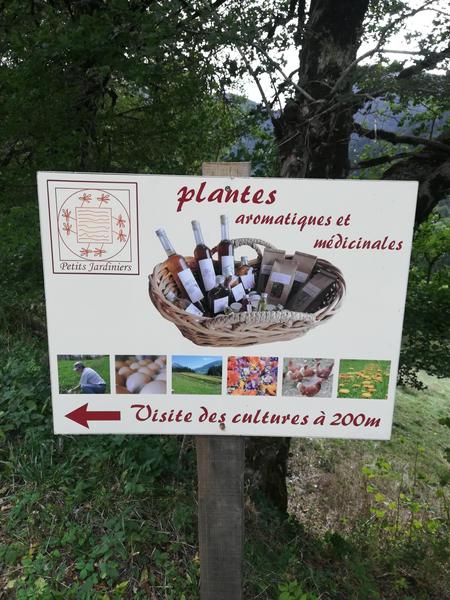
Sortie faite le 04/02/24, chemins tous en bon état. Halte pic nique à la barre d’attache des petits jardiniers ou nous avons été particulièrement bien accueilli. Idéal pour les chevaux et magnifique panorama. Première sortie depuis un moment, nous avons décider d’écourté en redescendant directement sur la diat depuis le Mollard Bellet. En tout 3h à cheval environ une dizaine de km. Chevaux pieds nus, sous soucis.
2024/02/05 MNCB
Sortie faite le 04/02/24, chemins tous en bon état. Halte pic nique à la barre d’attache des petits jardiniers ou nous avons été particulièrement bien accueilli. Idéal pour les chevaux et magnifique panorama. Première sortie depuis un moment, nous avons décider d’écourté en redescendant directement sur la diat depuis le Mollard Bellet. En tout 3h à cheval environ une dizaine de km. Chevaux pieds nus, sous soucis.
Services nearby

Coeur de Chartreuse Tourist Information center at Saint Pierre de Chartreuse
Saint-Pierre-de-Chartreuse

Museum of la Grande Chartreuse
Saint-Pierre-de-Chartreuse

Location de matériel au foyer de ski de fond
Saint-Pierre-de-Chartreuse
Museum of Contemporary Sacred Art
Saint-Pierre-de-Chartreuse

Espace naturel sensible du col du Coq
Plateau des Petites Roches


Information updated on 2023-12-21 by Isère Cheval Vert


Follow us on
the digital trails
the digital trails


![]()
The Isère Outdoor application was created
by the Département de l'Isère
Infos & contact
Conseil départemental de l'Isère
7 rue Fantin Latour
CS 41096
38 022 Grenoble cedex 1
Tel. 04 76 00 38 38
 Isère Outdoor - Parcours - Sur les chemins de St Pierre de Chartreuse
Hello, world! This is a toast message.
Isère Outdoor - Parcours - Sur les chemins de St Pierre de Chartreuse
Hello, world! This is a toast message.
Isère Outdoor - Parcours - Sur les chemins de St Pierre de Chartreuse
Hello, world! This is a toast message.


OK
Annuler