Walking trail: Roche Brune
Add to my favorites

Caution! Zone of vigilance near the route
Faucon pèlerin - du 01/02/2026 au 30/06/2026 In progress
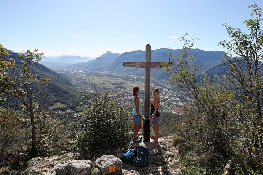
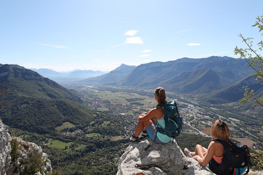
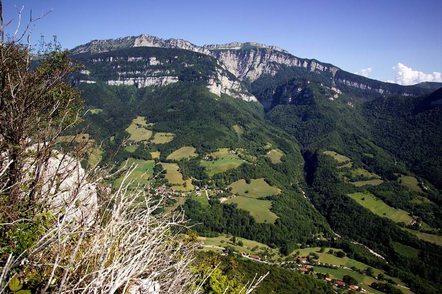
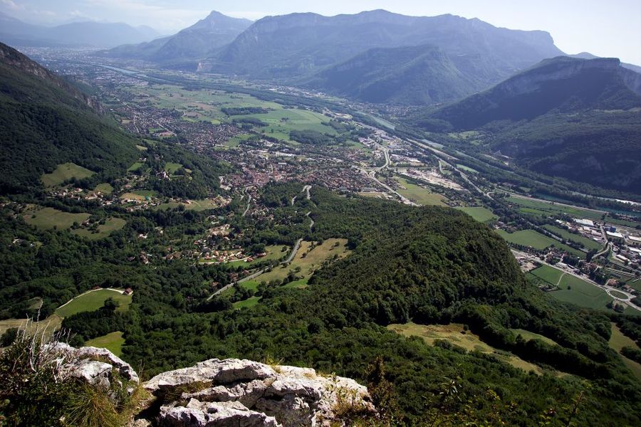
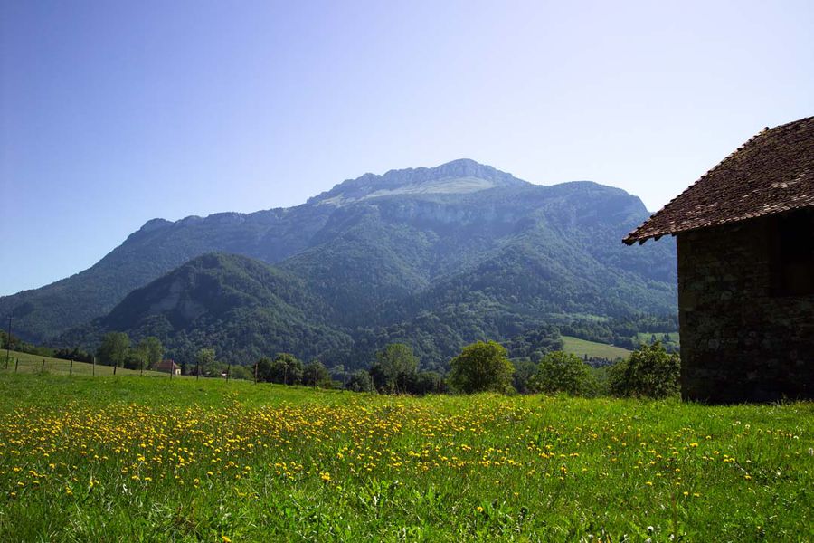
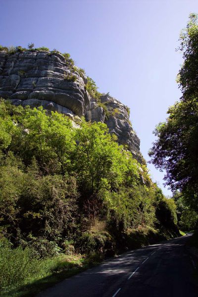
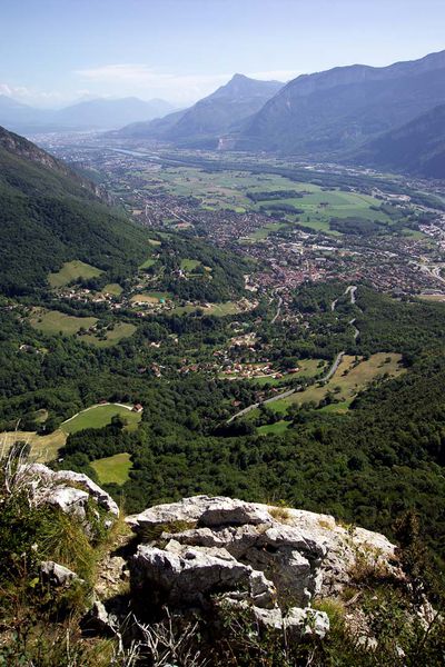
Une belle balade accessible au départ du parking des Gorges du Bret à Coublevie, qui vous conduira jusqu'au sommet de Roche Brune où vous profiterez d'un magnifique panorama sur la Cluse de Voreppe.
Route labeled FFRandonnée

The characteristics of the route.

Coublevie (38)
- Distance 9.5 km
- Elevation gain 390 m
- Elevation lost 390 m
- Min. elevation 551 m
- Max. elevation. 933 m
- Duration (depending on pace) 2h15
- Marking Yes
Admission fee : Free access.Opening : From 01/01 to 12/31.
Area : Pays Voironnais
Report a problem
Website Pdf file Features of the application :
- Location and orientation on detailed maps thanks to the GPS of your smartphone
- Description of routes and points of interest on the route
- Photo gallery by route
- Detailed elevation profile
- Route tracking alert to warn you if you stray from the route
- Send predefined messages by SMS to your contacts
- Emergency module: trigger a call or send an emergency SMS in case of problem
- Agenda: access to events organized in the department
- News: find in the application the latest news on the web portal
- Adding achievements
- Add reports in case of problems encountered on the routes
- Share on social networks
Add your time and share your feelings
Services nearby

Pays Voironnais Tourist Office, Voiron information office
Voiron

Mainssieux Museum
Voiron

Espace Naturel Sensible des Tourbières de l'Herretang
Saint-Laurent-du-Pont
Coeur de Chartreuse Tourist Information center at Saint Laurent du Pont
Saint-Laurent-du-Pont
Espace Naturel Sensible de l'Etang de Côte-Manin
Saint-Blaise-du-Buis


Information updated on 2026-05-29 by Office de Tourisme du Pays Voironnais


Follow us on
the digital trails
the digital trails


![]()
The Isère Outdoor application was created
by the Département de l'Isère
Infos & contact
Conseil départemental de l'Isère
7 rue Fantin Latour
CS 41096
38 022 Grenoble cedex 1
Tel. 04 76 00 38 38
 Isère Outdoor - Parcours - Walking trail: Roche Brune
Hello, world! This is a toast message.
Isère Outdoor - Parcours - Walking trail: Roche Brune
Hello, world! This is a toast message.
Isère Outdoor - Parcours - Walking trail: Roche Brune
Hello, world! This is a toast message.


OK
Annuler