Walking trail: Around Mont Cuchet
Add to my favorites

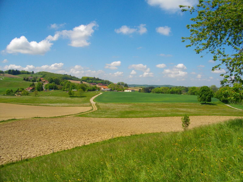
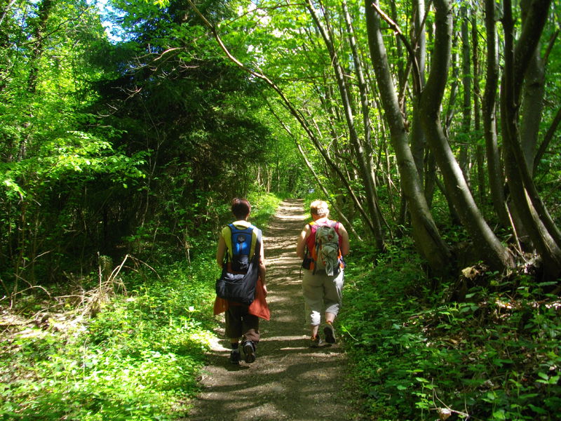
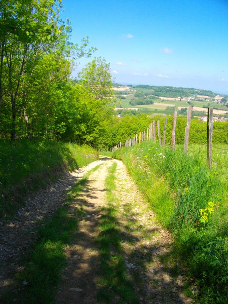
Balade agréable avec peu de dénivelé à faire en famille ! Par beau temps l'itinéraire offre de larges panoramas dans toutes les directions vers les Bauges, le Mont Blanc, la Chartreuse et plein sud jusqu'au Vercors !
The characteristics of the route.

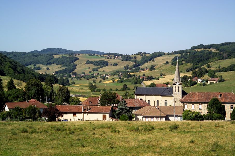
Saint-Sulpice-des-Rivoires (38)
- Distance 8.9 km
- Elevation gain 240 m
- Elevation lost 240 m
- Min. elevation 561 m
- Max. elevation. 708 m
- Duration (depending on pace) 2h
- Marking Yes
Admission fee : Free access.Opening : From 01/01 to 12/31.
Area : Pays Voironnais
Report a problem
Website Pdf file Features of the application :
- Location and orientation on detailed maps thanks to the GPS of your smartphone
- Description of routes and points of interest on the route
- Photo gallery by route
- Detailed elevation profile
- Route tracking alert to warn you if you stray from the route
- Send predefined messages by SMS to your contacts
- Emergency module: trigger a call or send an emergency SMS in case of problem
- Agenda: access to events organized in the department
- News: find in the application the latest news on the web portal
- Adding achievements
- Add reports in case of problems encountered on the routes
- Share on social networks
Add your time and share your feelings
Services nearby

Relais Cyné de Montferrat
Montferrat

Pégoud Museum
Montferrat

Espace Naturel Sensible des Marais de la Véronnière et du Courbon
Villages du lac de Paladru
Lake Paladru Archeological Museum
Villages du lac de Paladru

Pays Voironnais Tourist Office, Lake Paladru information office
Charavines


Information updated on 2026-02-06 by Office de Tourisme du Pays Voironnais


Follow us on
the digital trails
the digital trails


![]()
The Isère Outdoor application was created
by the Département de l'Isère
Infos & contact
Conseil départemental de l'Isère
7 rue Fantin Latour
CS 41096
38 022 Grenoble cedex 1
Tel. 04 76 00 38 38
 Isère Outdoor - Parcours - Walking trail: Around Mont Cuchet
Hello, world! This is a toast message.
Isère Outdoor - Parcours - Walking trail: Around Mont Cuchet
Hello, world! This is a toast message.
Isère Outdoor - Parcours - Walking trail: Around Mont Cuchet
Hello, world! This is a toast message.


OK
Annuler