Le Col Vert
Add to my favorites

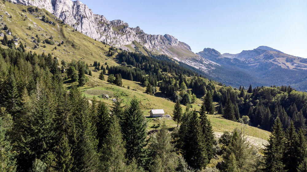
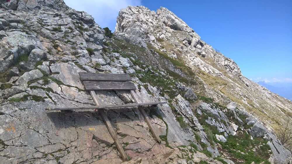
Le premier parcours Trail vraiment en montagne. Le passage au Col Vert vaut la peine d’être escarper par un petit sentier. Retour sympa par les Glovettes.
The characteristics of the route.
Villard-de-Lans (38)
- Distance 14.3 km
- Elevation gain 890 m
- Elevation lost 890 m
- Min. elevation 999 m
- Max. elevation. 1755 m
- Duration (depending on pace) 2h
- Marking Yes
Equipments : Picnic area, Car park, Free car park, Admission fee : Free access.Opening : From 01/04 to 31/10.
Subject to favorable snow and weather conditions.
Area : Massif du Vercors
Report a problem
Website Pdf file Features of the application :
- Location and orientation on detailed maps thanks to the GPS of your smartphone
- Description of routes and points of interest on the route
- Photo gallery by route
- Detailed elevation profile
- Route tracking alert to warn you if you stray from the route
- Send predefined messages by SMS to your contacts
- Emergency module: trigger a call or send an emergency SMS in case of problem
- Agenda: access to events organized in the department
- News: find in the application the latest news on the web portal
- Adding achievements
- Add reports in case of problems encountered on the routes
- Share on social networks
Add your time and share your feelings
Services nearby

Maison du Patrimoine
Villard-de-Lans

Office Municipal de Tourisme de Villard de Lans
Villard-de-Lans

Auberge des Allières
Lans-en-Vercors

Foyer de ski de fond des Hauts Plateaux
Corrençon-en-Vercors
OTI Vercors - Bureau d'informations de Méaudre
Autrans-Méaudre en Vercors


Information updated on 2023-02-27 by Office Municipal de Tourisme de Villard-de-Lans


Follow us on
the digital trails
the digital trails


![]()
The Isère Outdoor application was created
by the Département de l'Isère
Infos & contact
Conseil départemental de l'Isère
7 rue Fantin Latour
CS 41096
38 022 Grenoble cedex 1
Tel. 04 76 00 38 38
 Isère Outdoor - Parcours - Le Col Vert
Hello, world! This is a toast message.
Isère Outdoor - Parcours - Le Col Vert
Hello, world! This is a toast message.
Isère Outdoor - Parcours - Le Col Vert
Hello, world! This is a toast message.


OK
Annuler