Au fil de l'eau, Porte de l'Isère
Add to my favorites

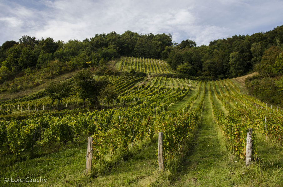
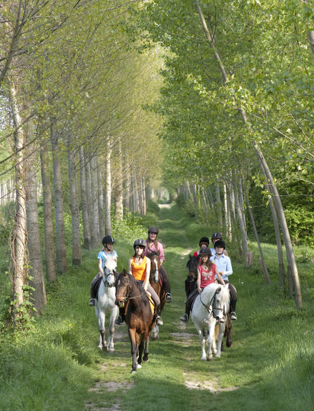
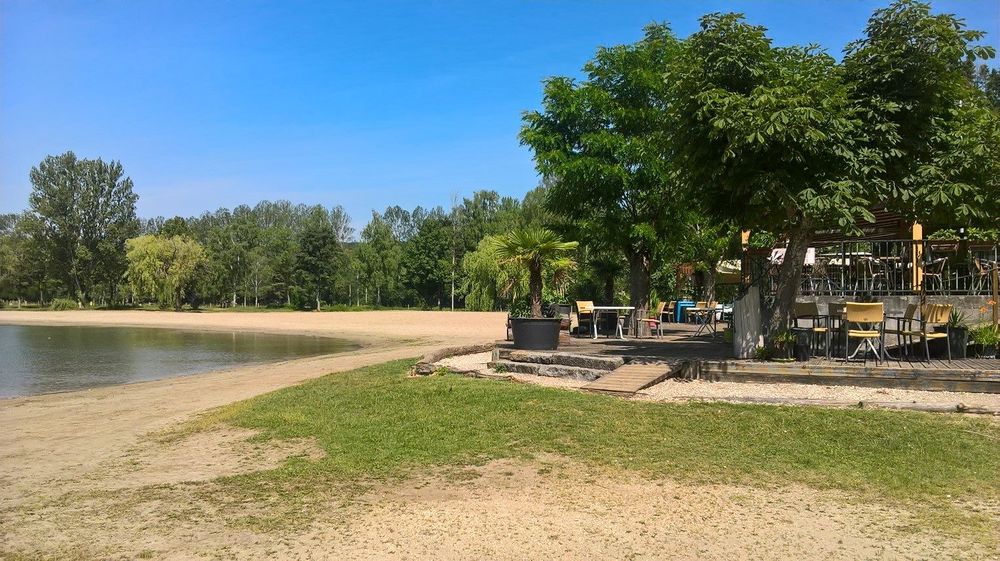
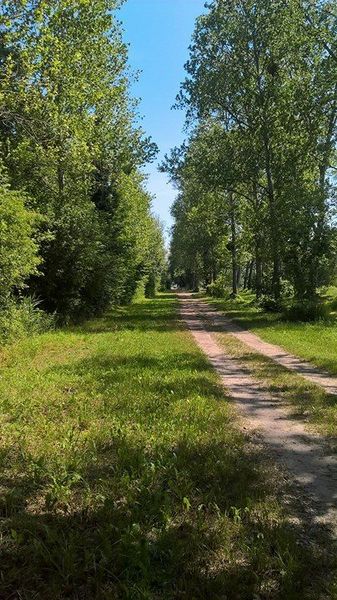
Une boucle dans la campagne du Nord Isère, à la découverte des canaux et en direction du lac de Vénérieu, plages et restaurant sur place pour une pause pique-nique au top !
The characteristics of the route.

Ruy-Montceau (38)
- Distance 28.4 km
- Elevation gain 420 m
- Elevation lost 400 m
- Min. elevation 212 m
- Max. elevation. 392 m
- Duration (depending on pace) 5h
- Marking Yes
Area : Porte de l'Isère
Report a problem
Features of the application :
- Location and orientation on detailed maps thanks to the GPS of your smartphone
- Description of routes and points of interest on the route
- Photo gallery by route
- Detailed elevation profile
- Route tracking alert to warn you if you stray from the route
- Send predefined messages by SMS to your contacts
- Emergency module: trigger a call or send an emergency SMS in case of problem
- Agenda: access to events organized in the department
- News: find in the application the latest news on the web portal
- Adding achievements
- Add reports in case of problems encountered on the routes
- Share on social networks
Add your time and share your feelings
Services nearby

Saint-Chef Museum
Saint-Chef

Saint-Chef - Balcons du Dauphine Tourist Information Office
Saint-Chef
Musée de Bourgoin-Jallieu
Bourgoin-Jallieu

Etang de Gôle Sensitive Natural Area
Montcarra
Office de Tourisme CAPI Porte de l'Isère
Bourgoin-Jallieu


Information updated on 2022-03-07 by Isère Cheval Vert


Follow us on
the digital trails
the digital trails


![]()
The Isère Outdoor application was created
by the Département de l'Isère
Infos & contact
Conseil départemental de l'Isère
7 rue Fantin Latour
CS 41096
38 022 Grenoble cedex 1
Tel. 04 76 00 38 38
 Isère Outdoor - Parcours - Au fil de l'eau, Porte de l'Isère
Hello, world! This is a toast message.
Isère Outdoor - Parcours - Au fil de l'eau, Porte de l'Isère
Hello, world! This is a toast message.
Isère Outdoor - Parcours - Au fil de l'eau, Porte de l'Isère
Hello, world! This is a toast message.


OK
Annuler